Home / North Carolina / The Great Smokies & Cherokee Country / Lakeview Drive (the Road to Nowhere)
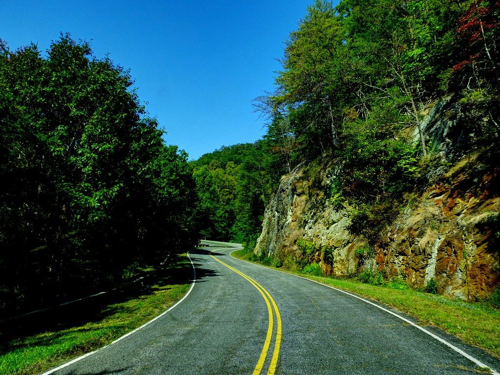
A two-lane road with double yellow lines curving past a rock cut and green woods under a deep blue sky.Robert Lz / CC BY 2.0 via Flickr
🏛️Historical

Lakeview Drive (the Road to Nowhere)

Part ofThe Great Smokies & Cherokee Country

The park road promised in 1943 to replace a highway drowned by Fontana Lake, stopped at a tunnel in 1971 and settled for cash in 2010.

⏱
Duration
One to two hours, including the walk through the tunnel.
🎟
Admission
Free; a park parking tag is required to park longer than 15 minutes ($5 daily; NPS, 2026).
📅
Best Season
Year round, weather permitting.

The Story

When Fontana Dam closed in 1944, its lake drowned most of North Carolina Highway 288 and cut off the communities on the north shore of the Little Tennessee. On July 30, 1943, the Tennessee Valley Authority, the state, Swain County and the Interior Department had signed an agreement: TVA would pay the county $400,000 for the lost road and buy some 44,000 acres for the national park, displacing the people who lived there, and Interior would build a new park road along the north side of the lake, if Congress paid for it.

Work on the eastern end began in 1960 and met unstable rock almost at once. By 1971 it had stopped, after the tunnel and the Noland Creek bridge were built and $4.1 million spent, with concern that acid from exposed Anakeesta rock would leach into the streams. A suit by Swain County residents to force construction failed in 1983, the appeals court finding the agreement unbroken because Congress had never funded the road. In 2007 the Park Service chose a cash settlement instead, and on February 6, 2010, the parties met in Bryson City and agreed on $52 million for the county.

The road runs about six miles from above Bryson City to a parking area near a 1,200-foot unlit tunnel closed to cars. Walk through it, or take the bypass trail, to reach the Lakeshore, Noland Creek and Goldmine Loop trails. The displaced families left their cemeteries on the far shore, and since the late 1970s the Park Service has carried descendants across the lake for decoration days.

Visitor Info

⏱
Time Needed
One to two hours, including the walk through the tunnel.
🎟
Admission
Free; a park parking tag is required to park longer than 15 minutes ($5 daily; NPS, 2026).
📅
Best Season
Year round, weather permitting.
🛣️
Highway
Lakeview Drive (from Fontana Road, SR 1364)

On the Map

Nearby

The closest stops worth working into your route

cultural12 mi away
Oconaluftee Indian Village
A re-created eighteenth-century Cherokee town in Cherokee, opened in 1952, with craft and dance demonstrations, beside the outdoor drama Unto These Hills.
natural12 mi away
Newfound Gap
The lowest drivable pass through the Smokies, at 5,046 feet on the Tennessee and North Carolina line, where Roosevelt dedicated the park in 1940 and Kuwohi's Cherokee name was restored in 2024.
cultural13 mi away
Museum of the Cherokee People
The Eastern Band's own museum on the Qualla Boundary, open since 1948 and now rethinking how it tells the Cherokee story in Cherokee voices.
cultural13 mi away
Qualla Arts and Crafts Mutual
The cooperative Cherokee craftspeople founded in 1946, selling baskets, carvings and pottery made by enrolled members of the Eastern Band.
historical14 mi away
Mountain Farm Museum and Mingus Mill
Log farm buildings behind the Oconaluftee Visitor Center and an 1886 turbine gristmill, in the valley that was the Cherokee town of Egwanulti.
industrial15 mi away
Fontana Dam
TVA's wartime dam on the Little Tennessee, 480 feet tall, built in under three years for aluminum power at the cost of four drowned towns.

Historical markers nearby

Roadside plaques and monuments within a short detour

Marker5.5 mi away
Horace Kephart
Bryson City
Marker5.6 mi away
Ellen Black Winston
Bryson City
Marker5.7 mi away
Tsali
Bryson City
Marker7.5 mi away
Yonaguska
Bryson City
Marker9.6 mi away
Cherokee Indian Reservation
Cherokee
Marker11 mi away
William H. Thomas
Whittier