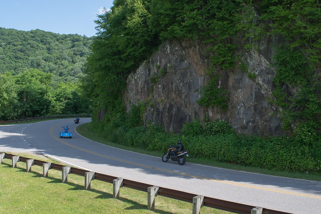
 NCDOT Communications / CC BY 2.0 via Flickr
The Story
The name joins Cherokee and Nantahala, the two national forests the road crosses, and the mountains were Cherokee country long before either forest existed. In the summer of 1838, when soldiers came to round up the Cherokee of these valleys, several hundred people hid in the Snowbird Mountains at the North Carolina end of this road and went uncaught. The Eastern Band's Snowbird community still lives in these mountains, on tribal trust land near Robbinsville.
Planning began in 1958, and the 43-mile road was finished on October 12, 1996, at a cost of about $100 million. In North Carolina it follows NC 143 for just over 18 miles from Robbinsville to the state line at Stratton Gap; in Tennessee it becomes Route 165 for nearly 25 miles down to Tellico Plains. It climbs more than 4,000 feet, from under 900 at Tellico Plains to over 5,400 on the slopes of Haw Knob. On August 31, 1982, nine Air Force crew members died when their plane crashed in a storm near John's Knob and Stratton Ridge on the Graham County side, and a memorial to them was built near the road in 2015.
The North Carolina half holds the high ground. From Santeetlah Gap, where Kilmer Road turns off to the Joyce Kilmer Memorial Forest, the road rises to short trails up Huckleberry Knob, at 5,560 feet, and Hooper Bald, then to the Santeetlah Overlook at 5,390 feet, the Big Junction Overlook, and a picnic area at Stratton Ridge where the Benton MacKaye Trail crosses.
Visitor Info
On the Map
Nearby
The closest stops worth working into your route
Historical markers nearby
Roadside plaques and monuments within a short detour