Cowboy Country
Nevada's northeast — the Humboldt River corridor along I-80, the buckaroo town of Elko and the Ruby Mountains, and the invisible-gold country of the Carlin Trend, all on land the Western Shoshone never ceded.
Every other way across Nevada fights the land. The Loneliest Road climbs the Basin and Range against the grain; the desert south survives on borrowed water. The northeast had the one thing the rest of the Great Basin lacks — a river running the right direction. The Humboldt rises near Wells, bends west, and threads some three hundred thirty miles of valley before vanishing into a desert sink, the longest river held entirely within one state and the only one to cross the top of Nevada end to end. It reaches no sea. But for anyone bound for California it pointed exactly the right way, and so it became the one road west: the trail followed it, then the railroad, then the interstate, everything here strung on that single wet line.
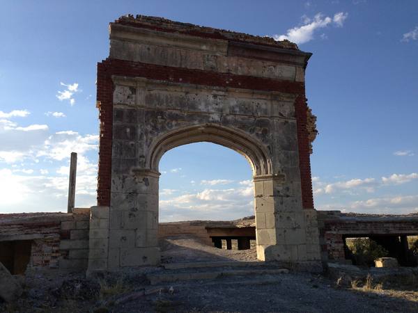
A quarter of a million people walked it, and almost none had a kind word for it. The Humboldt was the spine of the California Trail, carrying Gold Rush emigrants from the headwaters at Humboldt Wells down past the future sites of Elko and Carlin to the Humboldt Sink, where the water gave out and the brutal Forty-Mile Desert began. The river turned alkaline as you went, the grass thinned, the firewood vanished, and the diaries became a long catalog of complaint — one traveler judging it good for neither man nor beast. In 1869 the Central Pacific ran the transcontinental rails down the same valley, for the same reasons the wagons chose it, and a century later Interstate 80 paved the line a third time.
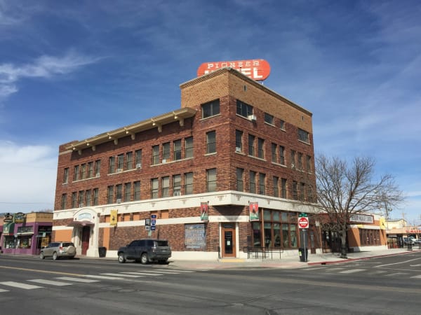
What the hated river left behind was the most durable cattle country in the West, and it is still working. This is the home of the Great Basin buckaroo — the word an Anglo mangling of the Spanish vaquero — and the style is its own: long reins, silver-mounted bits, a flat-brimmed formality a world from the Texas cowboy. Elko is its capital, a town that since 1985 has filled each January with the National Cowboy Poetry Gathering, ranch hands reciting verse in a converted saloon, and that keeps one of the largest Basque communities in the country, descended from the sheepherders who came in behind the cattlemen. The ranches outlasted every mine. They usually do.
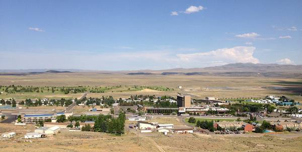
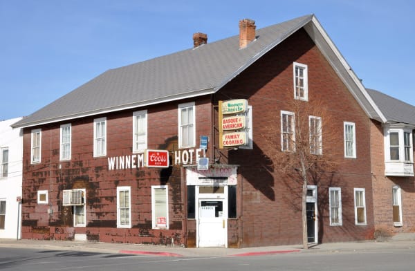
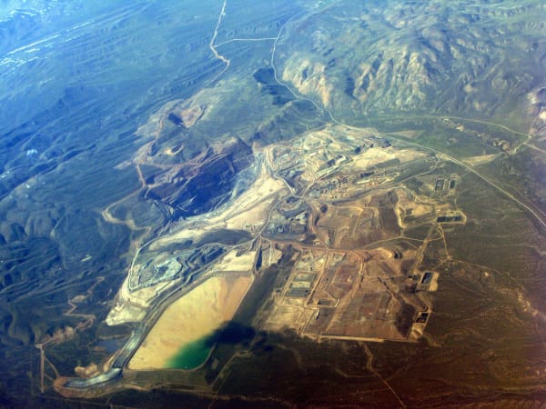
This time, though, the mines did not quit — because the old prospectors had walked across the richest ground in the state without seeing it. In 1961, near Carlin, two Newmont geologists went hunting gold no eye could catch: micron-sized specks locked invisibly inside plain gray rock, found only by assay. What they cracked open, the Carlin Trend, has since produced more gold than any district in the United States — were Nevada a country it would rank among the top producers on earth, nearly all of it torn from these northern hills in open pits the size of valleys. The boom never went bust. In a good year Elko looks less like a leftover than like 1870 decided to stay.
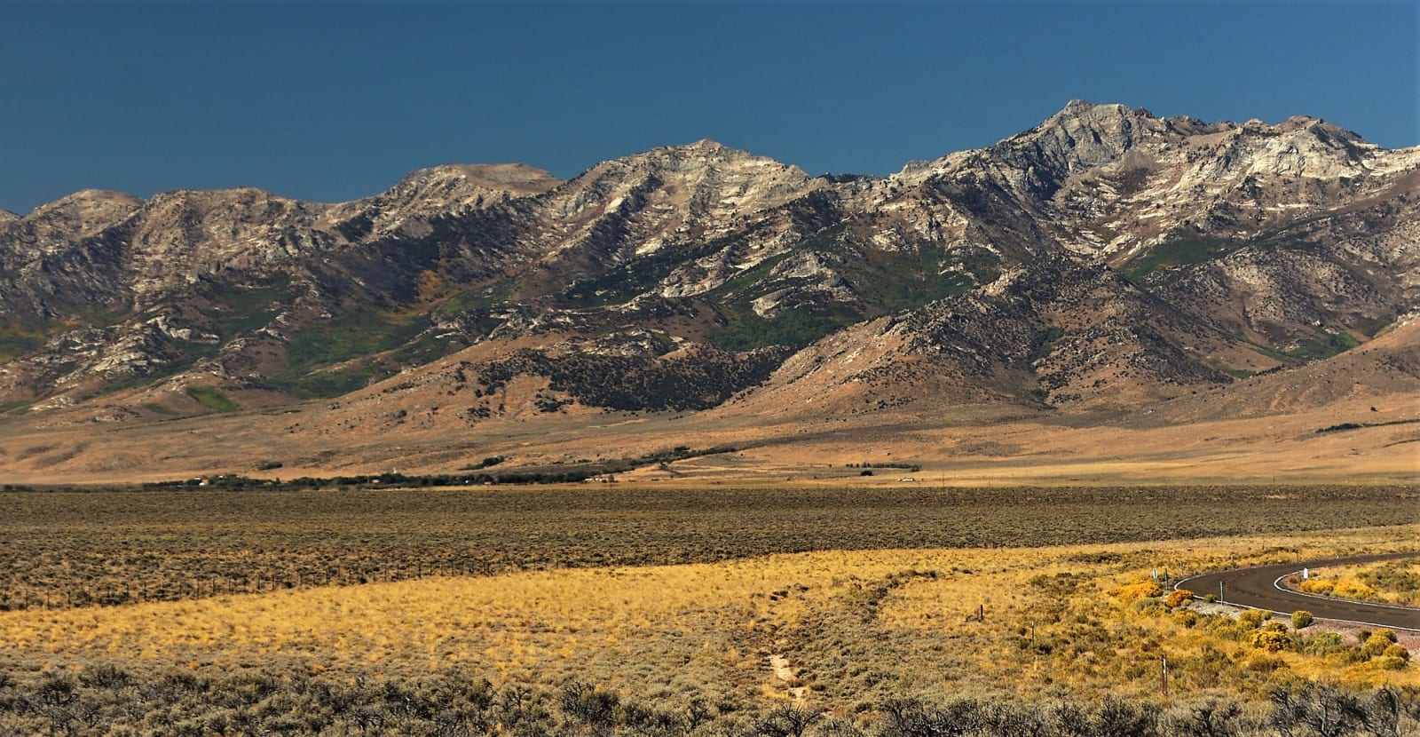
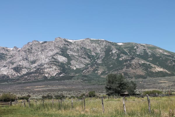
None of it was ever signed away. The Newe — the Western Shoshone — had lived across this country for thousands of years when their leaders met the United States at Ruby Valley in 1863 and put their marks to a treaty of peace and friendship: it granted passage, telegraph and stage lines, a railroad, and the right to mine, and it ceded no land at all. The government took the land regardless, calling Newe Sogobia public, and the gold that built modern Nevada has come from ground the Shoshone never sold — a claim they hold to this day, refusing payment rather than let it go. Ruby Valley keeps the region's other secret, too: the Ruby Mountains, a glacier-carved wall of granite and hanging lakes that locals fairly call Nevada's Alps, rising straight out of the sage. Drive the Humboldt's line for the history; turn off it, up into the Rubies or out to the canyon towns on the Idaho line, for the reason people stay.
What to See in Cowboy Country
10 places across the region, grouped by what they are.
Natural Areas
Historic Sites

Towns & Gateways
Industry & Mining
Scenic Drives through Cowboy Country
Interstate 80 — The Humboldt Road
The Humboldt corridor — about 175 miles of Interstate 80 from Wells to Winnemucca, the region's all-weather spine, with the Ruby Mountains, the emigrant trail, the invisible gold, and Jarbidge hanging off it.
Interstate 80: The Bonneville Crossing
A hundred and thirty miles across the bed of a vanished sea, from Elko to the Bonneville Salt Flats — the crossing that nearly ended the Donner Party and, a century later, rehearsed the atomic bomb.
NV-140: The Denio Crossing
From Winnemucca up the Quinn River Valley on NV-140 to Denio and the Oregon line, then through Fields and the Catlow Valley to Frenchglen and Steens Mountain.
U.S. 93: The Jackpot Crossing
From Wells north through Nevada's emptiest basins to Jackpot, then across the Idaho line to Twin Falls and the Perrine Bridge over the Snake.
Stories from Cowboy Country
The Dancing Ground
The basins everyone writes off from I-80 are the sagebrush sea — the largest, most imperiled ecosystem in the Lower 48 — and the sage grouse is how you measure it.
The River That Goes Nowhere
The Humboldt reaches no ocean — and the California Trail, the transcontinental railroad, and Interstate 80 all followed it west anyway.
The Mountain Turned Inside Out
Every other range in Nevada is a block of the crust's thin skin, tilted on a fault. The Rubies are the one place the crust turned over — hot middle rock welling up from ten miles down until stone that once flowed like warm wax stood in the sky, glaciered by the Ice Age and drained, on its dry side, into a vanished lake whose last water still keeps a desert marsh alive.
The Land That Was Never for Sale
In 1863 the Western Shoshone signed a treaty that gave the United States the right to cross their country but never to own it — and a century and a half later, across the rock art, the sacred lakes, and the boarding school built to erase them, the Great Basin's first peoples are still here, and still saying the land was never for sale.
Cowboy Country rewards the unhurried. Pick a base, fan out, and let the country between the headline stops surprise you.
← Explore more of Open Road Guide