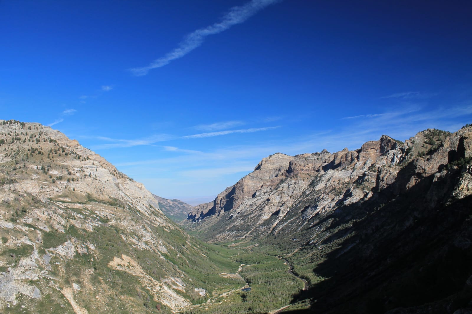
Every road-tripper who crosses Nevada on Interstate 80 learns the same lesson through the windshield: brown sage, brown range, brown sage, brown range, three hundred miles of it, each mountain a tilted block of rock that looks more or less like the last. Then, if they drop off the freeway at Elko and point the car southeast, the lesson breaks. In under an hour the sage gives way to a wall of granite and snow — ten summits above eleven thousand feet, alpine lakes strung beneath them, cirques holding ice into August. The Ruby Mountains are the great exception to Nevada's basin-and-range monotony, the largest true alpine zone in the state. And they are not just prettier than the ranges around them. They are built the opposite way.
To see why, it helps to know how the other ranges were made. The Great Basin is crust that has been stretched — pulled apart, west from east, for tens of millions of years until it cracked into a washboard of faults. Most Nevada ranges are simply blocks of the crust's thin upper skin, tilted up along one fault and dropped along another; Lake Tahoe, two hundred miles west, sits in a basin of exactly this kind. The Rubies are rarer. Geologists call them a metamorphic core complex, and there are only a handful in all of North America. Here the crust was stretched so hard, and stayed so hot, that it did not merely crack. The deep middle crust — rock that had sat ten and fifteen miles down — welled up from below like warm wax rising in a lava lamp, and the cover slid off it along a mile-thick zone of ground and smeared stone called mylonite. What you stand on at the crest of the Rubies is not the surface of Nevada. It is the bottom of it, turned up to the sky.
The rock proves it. The high country is marble and gneiss and migmatite — limestone and mud and sand laid down on the floor of a shallow sea along the western edge of the young continent, then buried, cooked past their melting point, injected with granite forty and thirty million years ago, and finally hauled back into daylight. The event that lifted them was the mirror image of the one that built southern Nevada's mountains: down at Red Rock, a fault shoved old sea-rock up and over younger desert-rock by sheer compression, stacking the deep time the wrong way up. The Rubies did it by pulling apart. And the ancient sea floor that the range hauled up from below is the same layer that, a short drive west near Carlin, holds the invisible gold of the richest mining district in the country — Eocene gold, seeded into Silurian and Devonian carbonate by the same pulse of deep heat that primed the Rubies to rise. Gold and marble, out of one vanished sea.
Having built the only range for a hundred miles tall enough to matter, the ice ages went to work on it. The Rubies and their northern extension held the largest system of mountain glaciers of any interior range in the Great Basin, and the glaciers did what glaciers do: they gouged Lamoille Canyon into a clean U a thousand feet deep, hung the side valleys above the floor, and left a staircase of cirques and cold tarns climbing toward the crest. The canyon is a textbook of the ice age in the most literal sense. The two glacial stages geologists use to read the whole Great Basin — the older Lamoille glaciation and the younger Angel Lake glaciation — were mapped and named right here in the 1930s, off moraines at the mouth of this canyon and a lake one range north. The Angel Lake moraines are the type example of the region's last glacial maximum, about nineteen thousand years ago. The place-names of one Nevada county became the clock the rest of the desert sets its ice ages by.
Then the ice melted, and the range's own architecture decided where the water went. Snow and meltwater sink into the fractured rock of the crest and travel underground to the dry eastern foot, where more than a hundred and sixty springs push back to the surface at Ruby Lake. In the cold of the ice age those springs, and the runoff off the range, filled a lake — pluvial Lake Franklin, some four hundred and eighty square miles of open water, one of the largest in the Great Basin between Bonneville and Lahontan. It has been drying for ten thousand years, and what is left is the Ruby Marsh: a seventeen-thousand-acre wetland, blue and loud with birds, stranded in a desert that has no business holding it — the ghost of the drowned lake. A small fish called the relict dace still lives in the spring water, a survivor left behind when the lake drew down. The birds that make the marsh famous, and the sky-island life of the crest above, belong to another story; this one is about the water's source, which is the rock.
None of it was lost on the people who were here first. To the Newe — the Western Shoshone, whose homeland of Newe Sogobia runs the length of the range's eastern foot — the springs were not a resource but a presence, understood to be alive. They were right about where the life comes from. One deep accident — the crust turning itself over — made the alpine crest and the desert marsh, set the terms of a homeland, and salted the ground next door with more gold than anywhere in America. The best reason to turn off the Humboldt and climb the Rubies is not the view from the top. It is that the view from the top is the bottom of the world, lifted ten miles and set out in the sun.