 Matthew Dillon / CC BY 2.0 via Wikimedia Commons
The Story
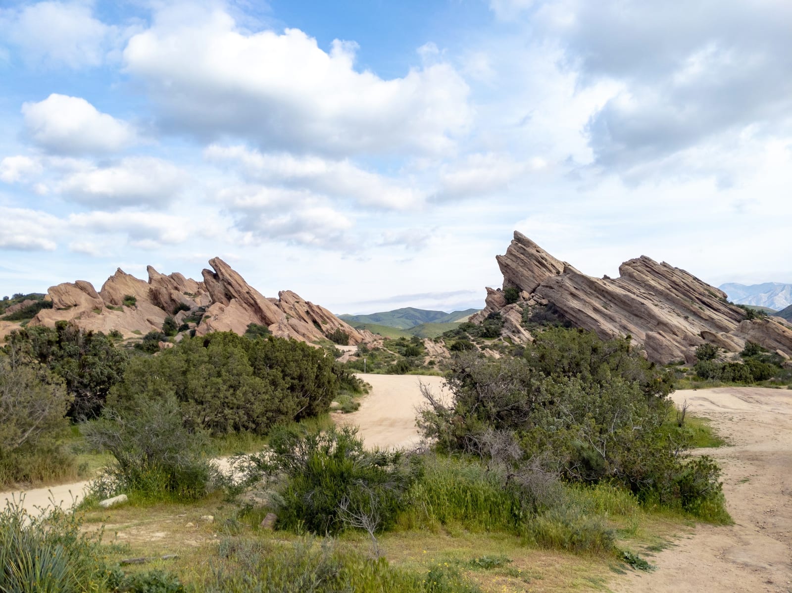
The rocks are tilted because of what runs underneath them. These are beds of the Vasquez Formation, conglomerate and sandstone laid down and then driven up along the Elkhorn Fault, a branch of the San Andreas that crosses the park. Erosion took the soil from around them and left slabs canted as steeply as fifty degrees, the tallest close to a hundred and fifty feet. This is Tataviam ground first: the ancestral village of Mapipinga stood here, and the Fernandeño Tataviam Band of Mission Indians is a sovereign nation still headquartered in the valley. The park went on the National Register in 1972 for what it holds of that occupation, not for the geology.
Tiburcio Vásquez was a Californio, born at Monterey in 1835, and these rocks were one hideout among many while a posse hunted him through 1874. He was taken that May at a ranch house in what is now West Hollywood and hanged at San Jose the following March, convicted of a murder he denied. He did not deny the grievance: he said he was answering what Americans had done to Californios after the conquest. He is still read both ways, and the county named a park after him either way. Film crews are here constantly, and the reason is contractual — Agua Dulce falls outside the thirty-mile studio zone but is written into the union agreements by name as though it were inside. More than nine hundred acres, free to enter, with the Pacific Crest Trail running through.
Visitor Info
On the Map
Nearby
The closest stops worth working into your route
Historical markers nearby
Roadside plaques and monuments within a short detour