Home / Oregon / The South Oregon Coast / Oregon Dunes
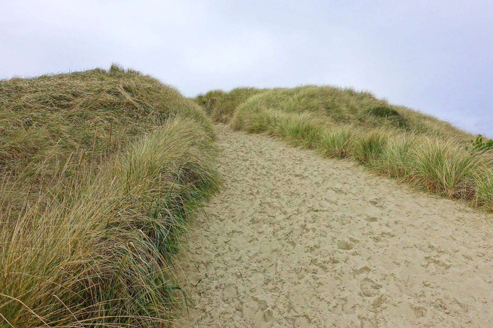
A sand path between ridges of beachgrass on a stabilized foredune in the Oregon DunesDaderot / CC0 via Wikimedia Commons
🌲Natural

Oregon Dunes

Part ofThe South Oregon Coast

Forty miles of moving sand that Frank Herbert came to write about in 1957, and a government project to stop them that gave him Dune and is now being undone.

PhotographyOff-RoadingHiking
⏱
Duration
Twenty minutes at the overlook; two hours to cross to the beach and back.
📅
Best Season
Late spring through early fall; winter storms make the dunes wild and wet.

The Story

In 1957 Frank Herbert, then a newspaperman with one novel published, chartered a plane to Florence to write a magazine article about how the U.S. Department of Agriculture was stopping the dunes. Sand blowing inland off this coast had been burying roads, fields and buildings, and the answer the government had found was European beachgrass, planted to anchor the sand and followed by shrubs and trees. Herbert's working title was They Stopped the Moving Sands. He never finished it. The dunes fascinated him, he said later, and the research carried him to deserts, to ecology and finally to a planet made of sand; Dune was published in 1965.

The grass worked almost too well. Its deep runners trap sand blowing off the beach and build a ridge along the shore that starves the open dunes behind it of fresh sand, while shrubs and forest close in, and much of the open sand that existed when the planting began has since grown over. In 2016 local governments, tribes, federal agencies and conservation groups formed the Oregon Dunes Restoration Collaborative to pull out the beachgrass and keep the open dunes open, reversing the project Herbert came to admire.

The Oregon Dunes National Recreation Area runs between Florence and Coos Bay. At the Oregon Dunes Overlook on US-101 a short walk leads to viewing platforms above the sand, and a trail continues across the dunes to the beach. Parts of the recreation area are open to off-highway vehicles and parts are kept for people on foot, so check which you are in before you set out.

Visitor Info

⏱
Time Needed
Twenty minutes at the overlook; two hours to cross to the beach and back.
📅
Best Season
Late spring through early fall; winter storms make the dunes wild and wet.
🛣️
Highway
US-101

On the Map

Nearby

The closest stops worth working into your route

architectural37 mi away
Shore Acres State Park
A timber family's clifftop estate whose mansion burned three months after its mistress died, whose larger replacement the state could not keep, and whose gardens it did.
historical51 mi away
Bandon
A town at the mouth of the Coquille built near the site of an 1854 massacre, named for a town in Ireland, and burned in 1936 by the Irish gorse its founder planted.
natural58 mi away
Yaquina Head
A basalt headland with Oregon's tallest lighthouse at the tip and, on its south side, an old quarry the sea was let back into.
natural68 mi away
Depoe Bay
A six-acre harbor reached through a crack in the basalt, on land allotted in 1894 to a Tututni man the agency knew as Depot Charley.
historical72 mi away
Cape Blanco Lighthouse
The westernmost light in Oregon, kept for decades by two men who spent their whole careers on the cape and, from 1903, by the state's first woman keeper.
historical77 mi away
Battle Rock
Port Orford's founding legend, named for a battle by the man who fired the cannon and remembered by another witness, and by the people it happened to, as something else.

Historical markers nearby

Roadside plaques and monuments within a short detour

Marker8.7 mi away
Jedediah Smith
Marker9.2 mi away
Tsunami - Reedsport