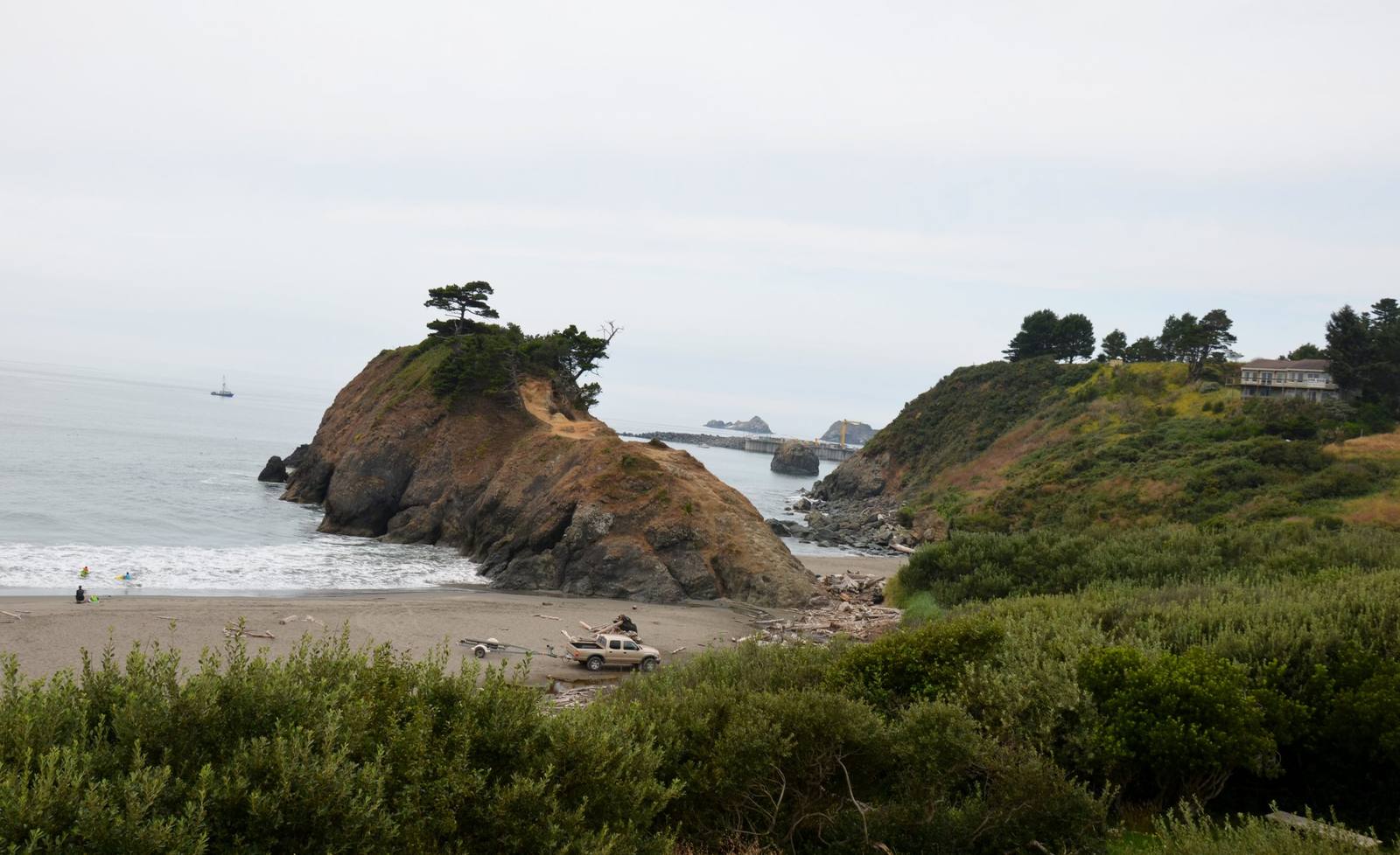
 Roman Eugeniusz / CC BY-SA 3.0 via Wikimedia Commons
The Story
The Quatomah, a Tututni band with villages along this shore and up the Sixes River, had lived on the beach below the rock for more than a thousand years when George Vancouver's ships put into the harbor in April 1792. Men paddled out in a dugout and climbed aboard repeating a word the naturalist Archibald Menzies wrote down as Slaghshee. A scholar of their language later took it to mean my friends.
On June 9, 1851, Captain William Tichenor put nine men ashore here with a small signal cannon from his steamer, the Sea Gull, to hold the site for a town he meant to link to the gold diggings inland, and sailed for San Francisco promising to return in fourteen days. The men hauled the cannon to the top of the rock. The next morning a crowd of Quatomah climbed toward the camp, and the men fired the cannon, packed with bar lead, into them from a few feet away, then turned their rifles and pistols on the rest. Their leader, J. M. Kirkpatrick, counted thirteen dead on the ground. When Tichenor was late, the nine slipped away north on foot to the Umpqua.
What happened is less certain than the name. In 1898, at seventy, Kirkpatrick told a far grander version than his 1851 letter, with at least a hundred attackers and himself shooting their leader at a hundred yards, and that retelling became the standard source. Another of the nine, John Egan, recalled in 1886 that the Quatomah had pressed into the camp snatching at clothes and food, that one of the men threw them an armful of shirts, and that the cannon was fired into the rush that followed. The ethnologist J. P. Harrington, after talking with a Siletz informant, wrote in his notebook that the battle was mostly lies. The historian Adam Fitzhugh, in a study Oregon's parks department publishes, calls it a massacre.
The name did its work anyway. Tichenor returned that July with sixty-seven armed men raised on handbills in San Francisco and built his town, and the men who followed them helped bring on the Rogue River War. In June 1856 the steamer Columbia anchored here again to carry some fifteen hundred surviving southern Oregon Indians north to the Siletz Reservation, where Tututni descendants are enrolled today. The next spring a leader of the resistance, Enos Thomas, was hanged on the rock and buried on it, and for much of the twentieth century the town staged costumed reenactments of the battle there as the finale of its Fourth of July Jubilee.
Battle Rock Wayside Park sits on the ocean side of US-101 in Port Orford, with a visitor center, and a steep path climbs the rock; watch for poison oak. Redfish Rocks Marine Reserve lies offshore and Humbug Mountain rises to the south.
Visitor Info
On the Map
Nearby
The closest stops worth working into your route