Home / Idaho / The Portneuf & Bear River Country / Massacre Rocks State Park
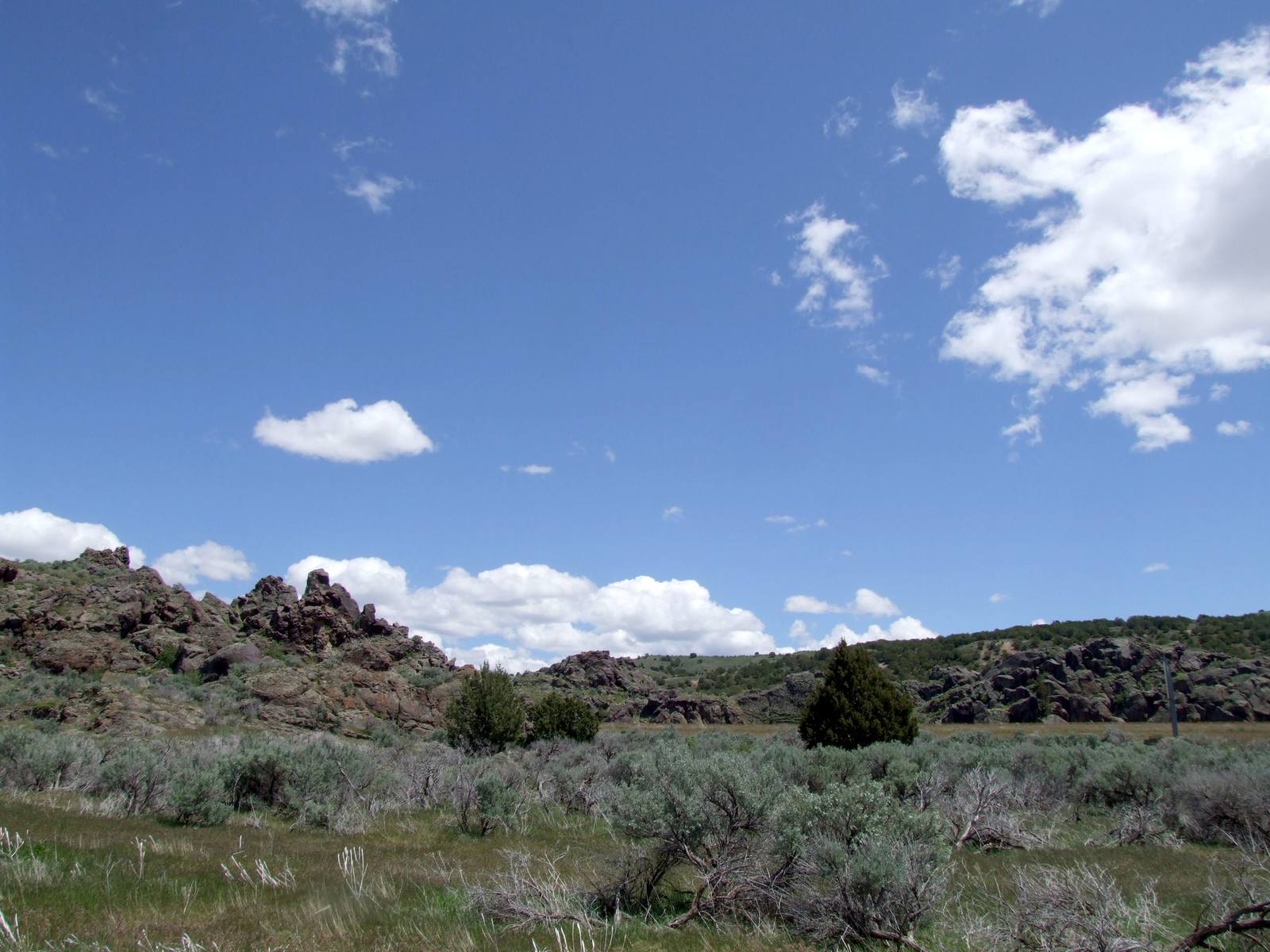
Dark volcanic outcrops above sagebrush at Massacre Rocks under a blue skyJF Hobbs / CC BY 3.0 via Wikimedia Commons
🏛️Historical

Massacre Rocks State Park

Part ofThe Portneuf & Bear River Country

Named for emigrant deaths that happened somewhere else, five months before a massacre that was called a battle.

Pioneer HistoryNative American Heritage
⏱
Duration
An hour for the visitor center and Register Rock; overnight at the campground.
📅
Best Season
April through October; the campground stays open longer than the visitor center.

The Story

Emigrants called the gap in the rocks Gate of Death and Devil's Gate, a narrow break where the Oregon Trail squeezed between outcrops and anyone could imagine an ambush. The fighting that gave the park its name happened east of it. On August 9 and 10, 1862, Shoshone attacked emigrant wagons along this stretch of the Snake, and ten emigrants died in the attacks and the skirmishes that followed. The deaths were real; the place in the name is not. A 1927 granite marker, moved when the interstate came through, still says the name came from reported attacks in this gap.

Five months later, on January 29, 1863, Army volunteers attacked a Northwestern Shoshone winter camp on the Bear River and killed hundreds of people, most of them women and children, in a campaign cast as punishment for that year's attacks on travelers. The emigrants' deaths gave their name to a state park, if not the right spot. The Bear River dead were remembered on their roadside monument, for most of a century, as a battle; the survivors' descendants are restoring that ground now, at Boa Ogoi.

The park itself is quieter than its name. The boulders scattered across it were rolled into place by the Bonneville Flood about 18,000 years ago, when Lake Bonneville broke out at Red Rock Pass and poured down the Snake. Wagon ruts survive near the rest areas at either end, and at Register Rock, now under a shelter, emigrants carved their names and dates. Interstate 86 runs through what is left of the gap.

There is a campground on the river, trails through the rocks, and a visitor center with exhibits on the trail and the fighting.

Visitor Info

⏱
Time Needed
An hour for the visitor center and Register Rock; overnight at the campground.
📅
Best Season
April through October; the campground stays open longer than the visitor center.
🛣️
Highway
I-86

On the Map

Nearby

The closest stops worth working into your route

cultural37 mi away
Shoshone-Bannock Tribal Museum
Fort Hall told from the other side of the trade counter, by the tribes whose reservation now surrounds the site of the post.
natural49 mi away
Lava Hot Springs
The pools belong to the state because the springs left the Fort Hall Reservation and Congress handed them to Idaho in 1902.
geological56 mi away
City of Rocks National Reserve
Two granite spires the emigrants steered by. They look like twins and formed about 2.5 billion years apart.
historical57 mi away
Experimental Breeder Reactor I
The reactor that lit four bulbs in 1951 also suffered the first accidental breeder meltdown, and two engines for a nuclear bomber sit outside.
geological59 mi away
Craters of the Moon National Monument
A geologist coined the name in 1923. A Boise taxidermist carried his dog across the lava and sold the place to a president.
geological63 mi away
Black Canyon of the Bear River
A basalt gorge cut by a river that, most of the year, now runs past it in a pipe.

Historical markers nearby

Roadside plaques and monuments within a short detour

Marker1.5 mi away
Oregon Trail
Marker8.5 mi away
American Falls Power Plants
Marker9.3 mi away
Emigrant Trails
Marker9.8 mi away
American Falls
Marker28 mi away
Idahome