 Wilson44691 / public domain via Wikimedia Commons
The Story
For most of the century after January 29, 1863, the ground where Army volunteers killed hundreds of Northwestern Shoshone along the Bear River belonged to other people, and the only thing on it that told the story was a roadside monument calling it a battle. The descendants of the survivors, the Northwestern Band of the Shoshone Nation, have spent the years since 2018 changing both.
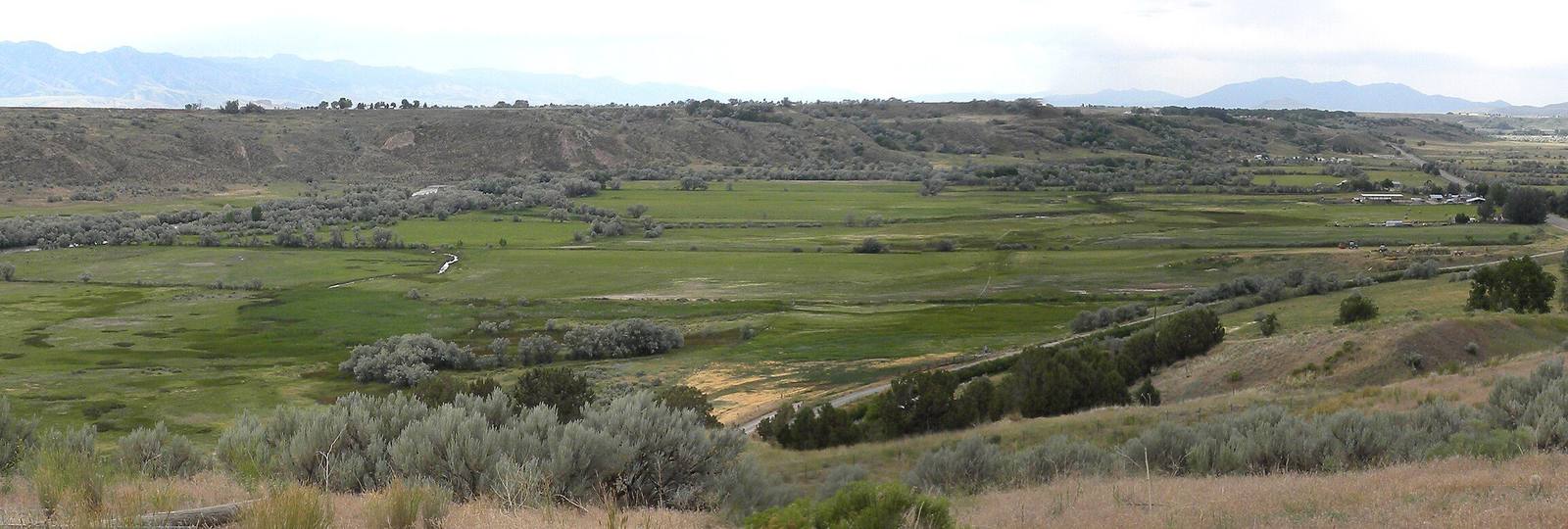
That year the Band bought several hundred acres of the site along the river it calls Boa Ogoi, and more recently writes as Wuda Ogwa. It has not built a museum there yet; it has been taking the farm out. Crews working with Utah State University and ecological consultants pull invasive plants, plant native ones and let degraded fields go back to wetland, aiming for the landscape as it was before the settlers came. The Band estimates the restored bottoms can return some 13,000 acre-feet of water a year toward the Great Salt Lake. The hot spring that made this a good winter camp still runs at the riverbank.
The plan ends with a cultural interpretive center on the bluff above the site: a stone amphitheater, exhibits that change with the seasons as the people's own life did, and the Band's telling of the massacre and what came after. The State of Utah gave $750,000 toward it, though the site is in Idaho, and the Band is still raising the rest.
Stop at the pullout on US-91 north of Preston, where the older monuments stand, and look down on the river. The Band holds a public commemoration here each January, on or near the anniversary.
Visitor Info
On the Map
Nearby
The closest stops worth working into your route
Historical markers nearby
Roadside plaques and monuments within a short detour