Home / Idaho / The Portneuf & Bear River Country / Shoshone-Bannock Tribal Museum
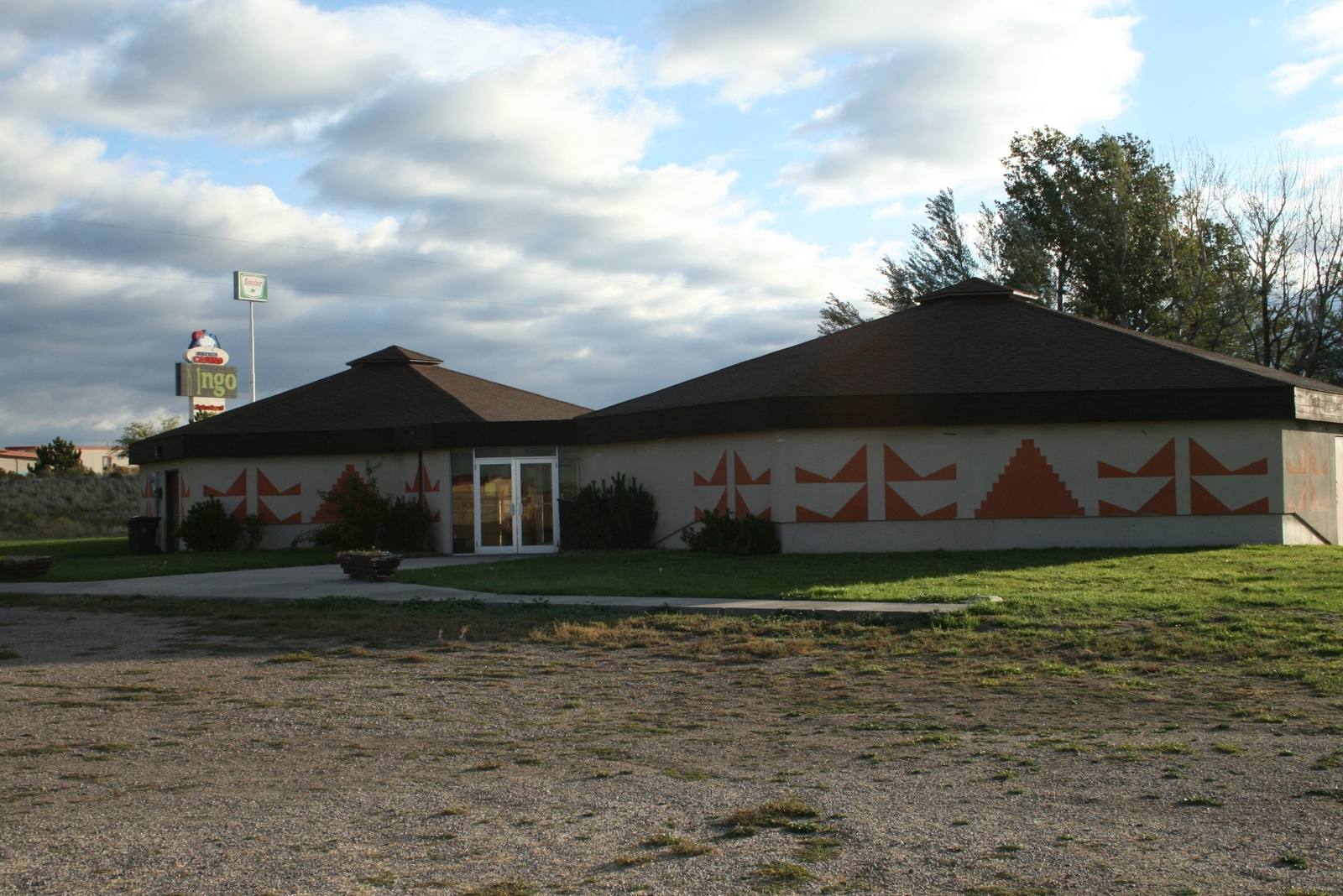
The low peaked-roof building of the Shoshone-Bannock Tribal Museum at Fort HallNational Park Service / public domain via Wikimedia Commons
🎭Cultural

Shoshone-Bannock Tribal Museum

Part ofThe Portneuf & Bear River Country

Fort Hall told from the other side of the trade counter, by the tribes whose reservation now surrounds the site of the post.

Native American Heritage
⏱
Duration
An hour for the museum; half a day with a booked tour of the fort site.
📅
Best Season
Spring through autumn; hours are seasonal, so call ahead.

The Story

The trading post this country is named for is gone, and the ground it stood on belongs to the people it traded with. Fort Hall went up on the Snake bottoms in 1834; the site now lies inside the Fort Hall Reservation, and the way to walk it is on a tour arranged through this museum, which the Shoshone-Bannock Tribes run at the I-15 exit where their hotel and casino stand.

The museum is small and it is theirs. Its photographs follow tribal government from the men who signed the Fort Bridger Treaty in 1868 through the generations since, and it traces the bands brought together here: Shoshone from the Boise and Weiser country and the southwest; the Bannock, a smaller Northern Paiute people who intermarried with the Shoshone until most families here are both; and the Agaidika, removed from the Lemhi Valley in 1907, the valley the Sacajawea Center remembers. Exhibits on Chief Pocatello, whose name the city twenty miles south carries, sit beside beadwork, traditional dress and artifacts from the old fort.

It also tells how the reservation shrank. The treaty land has been cut down since, by cessions for the railroad and for the Pocatello townsite among others, to about 546,000 acres across four counties. The Oregon, California and Lander trails ran through the tribes' hunting and gathering grounds, and settlers' cattle crowded the rest; the Bannock War of 1878 grew out of that squeeze.

Call ahead. Hours are seasonal, and tours of the fort site and the reservation bottoms have to be booked.

Visitor Info

⏱
Time Needed
An hour for the museum; half a day with a booked tour of the fort site.
📅
Best Season
Spring through autumn; hours are seasonal, so call ahead.
🛣️
Highway
I-15, exit 80 (Simplot Road)

On the Map

Nearby

The closest stops worth working into your route

natural34 mi away
Lava Hot Springs
The pools belong to the state because the springs left the Fort Hall Reservation and Congress handed them to Idaho in 1902.
historical37 mi away
Massacre Rocks State Park
Named for emigrant deaths that happened somewhere else, five months before a massacre that was called a battle.
historical45 mi away
Experimental Breeder Reactor I
The reactor that lit four bulbs in 1951 also suffered the first accidental breeder meltdown, and two engines for a nuclear bomber sit outside.
geological46 mi away
Black Canyon of the Bear River
A basalt gorge cut by a river that, most of the year, now runs past it in a pipe.
geological48 mi away
Soda Springs Geyser
Drillers looking for hot water for a swimming pool hit cold soda water under pressure. The town put the geyser on a timer.
geological57 mi away
Menan Buttes
Two volcanoes built where lava ran into the Snake River, and one of them open to walk around the rim.

Historical markers nearby

Roadside plaques and monuments within a short detour

Marker12 mi away
Idaho State University
Marker12 mi away
Chief Pocatello
Marker17 mi away
Idaho's 1st Railroad
Marker20 mi away
Lava Formations
Marker28 mi away
American Falls
Marker29 mi away
American Falls Power Plants