Home / Idaho / Craters of the Moon & the Upper Snake / Craters of the Moon National Monument
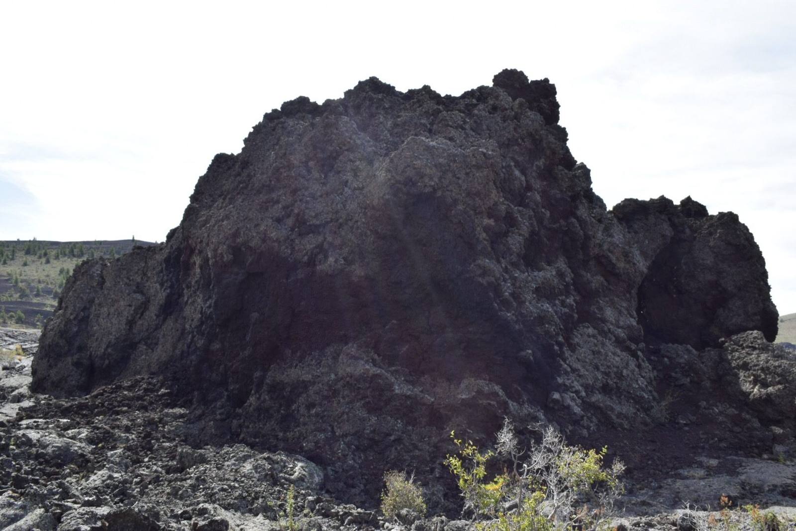
A jagged mass of black lava rising from the broken surface of a flow at Craters of the Moondwhartwig / CC BY 2.0 via Wikimedia Commons
🏜️Geological

Craters of the Moon National Monument

Part ofCraters of the Moon & the Upper Snake

A geologist coined the name in 1923. A Boise taxidermist carried his dog across the lava and sold the place to a president.

IconicPhotographyVolcanic
⏱
Duration
Two to three hours for the loop road, Inferno Cone and one cave; a full day with more caves.
📅
Best Season
May through October; the loop road closes to cars in winter and becomes a ski and snowshoe route.

The Story

The name came first from a geologist. In 1923 H. T. Stearns of the U.S. Geological Survey, the same man who passed the Hagerman horse bones to the Smithsonian, proposed a national monument here and wrote that the dark craters and cold lava looked like the surface of the moon seen through a telescope. It took a showman to make the name stick.

Robert Limbert was a Boise taxidermist, furrier, trick shot and tireless promoter of Idaho, and in the early 1920s he made three trips into lava that emigrants and ranchers had passed for decades and found nothing to love in. On the last, with W. L. Cole and an Airedale terrier, he crossed the field from south to north, about eighty miles in seventeen days. After three days the dog's feet were raw and bleeding, and the two men carried him or waited while he picked his way over the rock. Limbert named what he found as he went, Amphitheater Cave, the Blue Dragon Flow, the Bridge of Tears, and in March 1924 National Geographic ran his account under the geologist's title.

He sent Calvin Coolidge a scrapbook as well. Coolidge proclaimed the monument on May 2, 1924, about two months after the article, and some 1,500 people drove the gravel and cinder roads to the dedication that June. It covered about 54,000 acres; in 2000 it was enlarged roughly thirteenfold.

The seven-mile loop road from the visitor center reaches the spatter cones, the climb up Inferno Cone and the lava tubes of the Caves Area, where a free permit from the visitor center is needed to go underground.

Visitor Info

⏱
Time Needed
Two to three hours for the loop road, Inferno Cone and one cave; a full day with more caves.
📅
Best Season
May through October; the loop road closes to cars in winter and becomes a ski and snowshoe route.
🛣️
Highway
US-20/26/93

On the Map

Nearby

The closest stops worth working into your route

historical29 mi away
Experimental Breeder Reactor I
The reactor that lit four bulbs in 1951 also suffered the first accidental breeder meltdown, and two engines for a nuclear bomber sit outside.
geological54 mi away
Borah Peak Earthquake Fault Scarp
In 1983 the valley floor dropped seven feet in a second, and a truckload of hunters dropped with it.
historical59 mi away
Massacre Rocks State Park
Named for emigrant deaths that happened somewhere else, five months before a massacre that was called a battle.
historical61 mi away
Minidoka National Historic Site
The prisoners built a board for the names of their sons in the Army. When the camp was given away as farms, the board was lost.
cultural64 mi away
Shoshone-Bannock Tribal Museum
Fort Hall told from the other side of the trade counter, by the tribes whose reservation now surrounds the site of the post.
natural66 mi away
Galena Summit Overlook
The Salmon River's first miles, seen from an overlook named for the couple who helped keep a mine out of the view.

Historical markers nearby

Roadside plaques and monuments within a short detour

Marker8.3 mi away
Goodale's Cutoff
Marker20 mi away
Atoms for Peace
Marker29 mi away
Lost River
Marker29 mi away
Nuclear Reactors