 Jeff Hitchcock / CC BY 2.0 via Wikimedia Commons
The Story
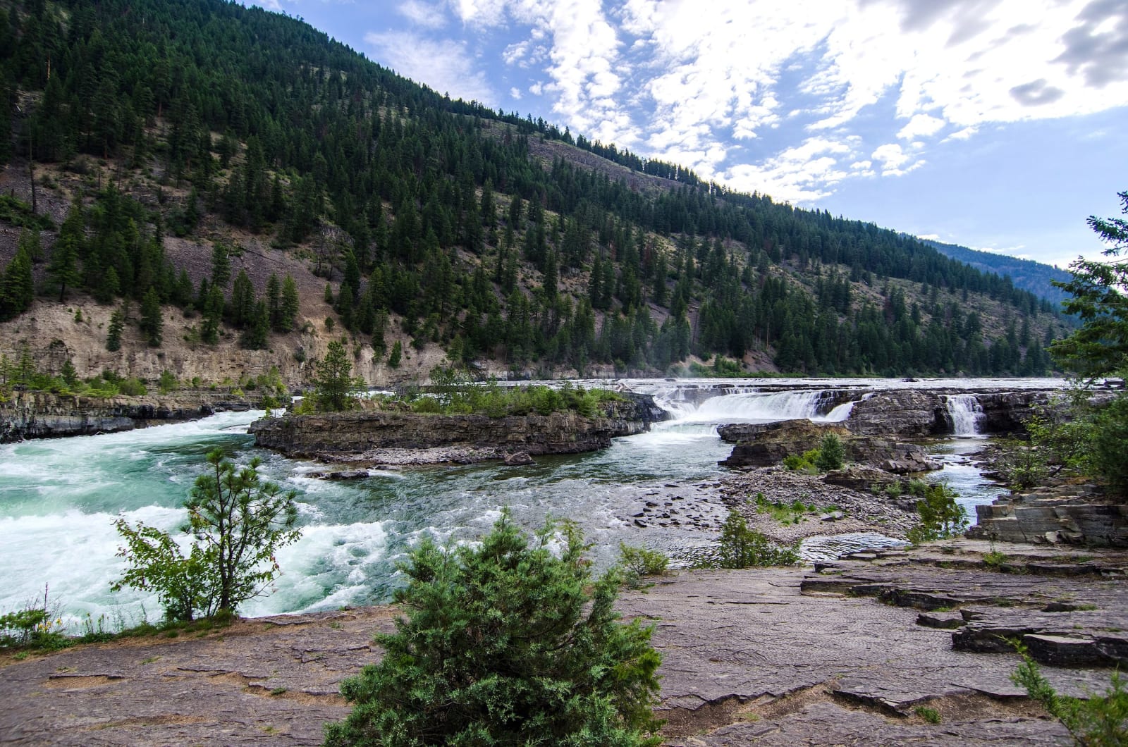
Below Libby the Kootenai River runs wide and flat, then falls about ninety feet in less than a mile through a canyon cut in rock of the Belt Supergroup, around a billion and a half years old; the main drop is about thirty feet. For the Kootenai people the falls are the center of the world, a place where visions are sought and spirits met, and the Kootenai Tribe of Idaho and the Confederated Salish and Kootenai Tribes ask visitors to treat the ground as sacred.
In 1978 Northern Lights, Inc., a rural electric cooperative based in Sandpoint, applied to build a dam at the head of the falls and send the river around them to a powerhouse. The Kootenai, represented by the Native American Rights Fund and joined by the State of Montana and conservation groups, fought it for nine years, until a federal judge ruled that the falls' religious and natural values outweighed the power and the license was denied. Thirty miles upstream, Libby Dam had held back the river since 1972. These are among the last major falls in the Northwest never dammed.
From the parking area at milepost 21 on US-2, a trail crosses the railroad on a footbridge and reaches the falls overlook in about a third of a mile. Downstream, a swinging bridge hangs over the canyon, first built by the Civilian Conservation Corps, lost to a flood in 1948 and rebuilt since, most recently in 2019; fossil algal mounds called stromatolites lie near its base. The rock by the water is slick and the current fast and cold.
Visitor Info
On the Map
Nearby
The closest stops worth working into your route
Historical markers nearby
Roadside plaques and monuments within a short detour