Home / New Mexico / Las Cruces, the Gila & the Southwest / Gila Cliff Dwellings National Monument
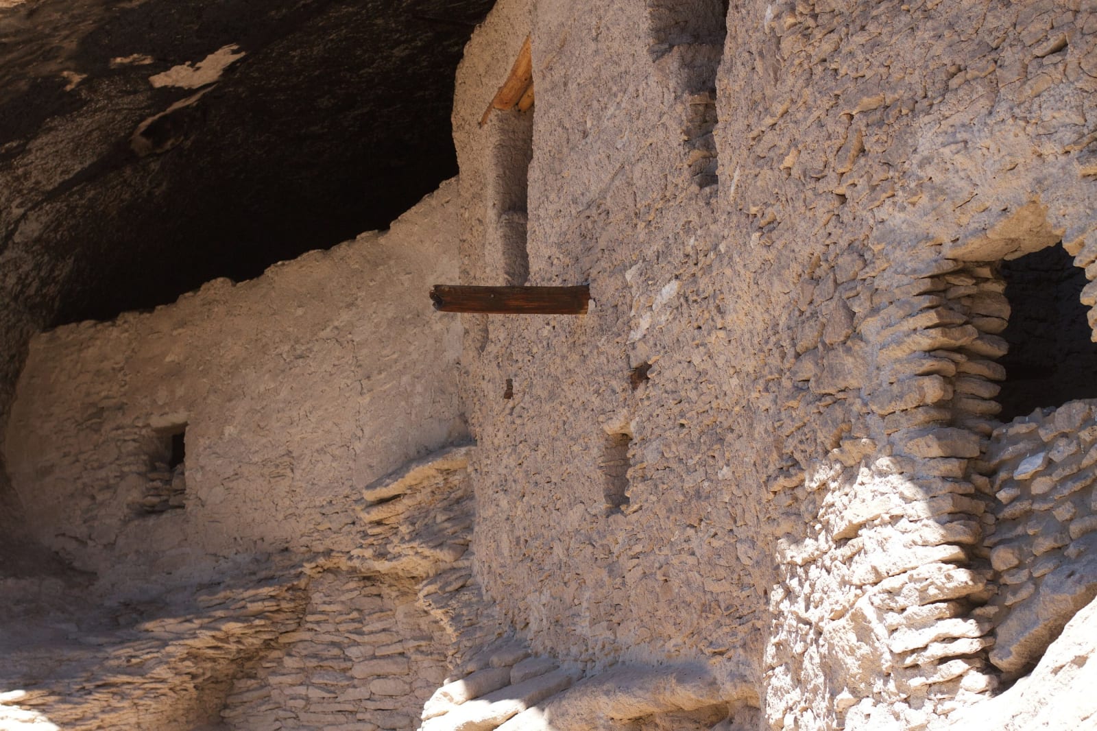
Stone masonry walls and doorways of the Gila Cliff Dwellings tucked beneath a cave overhangcogdogblog / CC BY 2.0 via Wikimedia Commons
🏛️Historical

Gila Cliff Dwellings National Monument

Part ofLas Cruces, the Gila & the Southwest
On this driveNM-152 and NM-15: City of Rocks to the Gila Cliff Dwellings

Rooms built into five caves above a Gila side canyon in the late 1270s and lived in for about a generation, at the end of forty-four winding miles of mountain road from Silver City.

Off the Beaten PathScenic DrivingNative American HeritageAccessibleNo Cell ServiceFreeHiking
⏱
Duration
Half a day with the drive; an hour on the trail.
🎟
Admission
Free.
📅
Best Season
Spring through fall.

The Story

The road decides the visit. NM-15 runs north from Silver City through Pinos Altos and over the mountains of the Gila National Forest, forty-four miles that take an hour and a half to two hours. Much of it is narrow, with long grades of ten to twelve percent and no center line, and there is no cell service once Silver City is behind. It ends at the West Fork of the Gila, at the edge of the Gila Wilderness.

A one-mile loop trail crosses the stream on footbridges and climbs about 180 feet to five shallow caves in the cliff of Cliff Dweller Canyon. In them, people of the Tularosa Mogollon tradition built about forty rooms of local stone in the late 1270s, homes for several families, and most of the wooden beams still in the walls are the originals. They farmed corn, beans and squash on the mesa tops and along the river, and by about 1300 they had gone. Apache people later used the caves.

By the time Theodore Roosevelt proclaimed the national monument on November 16, 1907, settlers and prospectors had already carried off much of what lay in the rooms, and the proclamation was meant to stop it. The monument is run jointly by the Park Service and the Forest Service, and entry is free. A short, accessible trail leads to a small alcove dwelling and a pictograph panel, and the TJ Ruin, a pueblo on the valley floor, also lies within the monument.

Pets are not allowed on the trail; the park keeps kennels for them. Trail hours are limited and change with the season, and Gila Hot Springs, a few miles away, has lodging and campgrounds.

Visitor Info

⏱
Time Needed
Half a day with the drive; an hour on the trail.
🎟
Admission
Free.
📅
Best Season
Spring through fall.
🛣️
Highway
NM-15

On the Map

Nearby

The closest stops worth working into your route

industrial32 mi away
Santa Rita Copper Mine
The copper pit east of Silver City that swallowed the town it was named for, beneath a spire of volcanic rock long said to look like a nun at prayer.
geological47 mi away
City of Rocks State Park
Pinnacles of volcanic tuff up to forty feet high standing in the grassland between Deming and Silver City, worn out of an eruption 34.9 million years ago.
attraction70 mi away
Very Large Array
Twenty-seven radio dishes, each 82 feet across and 230 tons, spread in a Y across an Ice Age lakebed on the Plains of San Agustin and moved on rails to change how sharply they see.
historical85 mi away
Casa Malpais
The Mogollon great house on the lava, and the catacombs sealed back shut
natural88 mi away
Mount Baldy
Dzil Ligai Si'an, the sacred White Mountain, and the summit you stop short of
natural89 mi away
Bosque del Apache National Wildlife Refuge
A Rio Grande refuge south of Socorro where cranes and geese winter by the tens of thousands on wetlands and fields kept by people, because the river no longer floods to make them.