Home / New Mexico / Albuquerque & the Middle Rio Grande / Very Large Array
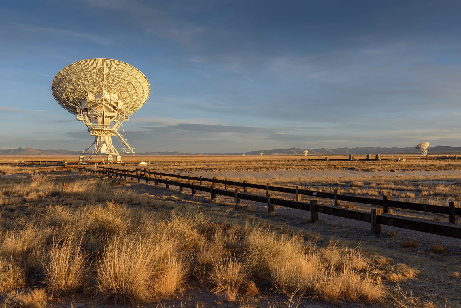
A white radio dish of the Very Large Array in low evening light, golden grass and a fence line in the foregroundJawed Karim / CC BY-SA 3.0 via Wikimedia Commons
⭐Attraction

Very Large Array

Part ofAlbuquerque & the Middle Rio Grande

Twenty-seven radio dishes, each 82 feet across and 230 tons, spread in a Y across an Ice Age lakebed on the Plains of San Agustin and moved on rails to change how sharply they see.

Year-RoundScenic DrivingIconicPhotographyPaid EntryFilm LocationsWeird & Wonderful
⏱
Duration
About an hour.
🎟
Admission
Visitor center fee.
📅
Best Season
Year-round.

The Story

US-60 west of Magdalena climbs onto the Plains of San Agustin, the floor of an Ice Age lake, and the dishes appear miles ahead, white against the grass. The Very Large Array has twenty-seven working antennas and a spare, each dish 82 feet across and weighing about 230 tons, set along three arms of track in a Y, each arm about thirteen miles long.

The antennas work as one instrument. Their signals are combined to give the sharpness of a single dish many miles wide, aimed at radio waves from galaxies, black holes and the gas between stars. Every few months a transporter lifts the antennas one by one and carries them along the rails into a new arrangement, gathered close to the center for a wide view or strung out to the ends of the arms for the finest detail.

Congress authorized the array in 1972 and it was built through the 1970s, dedicated in 1980. In 2012, after new electronics multiplied what it could do, it was renamed the Karl G. Jansky Very Large Array, for the Bell Labs engineer who first detected radio waves from space in the early 1930s. The 1997 film Contact put it in front of millions of people who had never heard of radio astronomy.

The visitor center has a small museum and a short film narrated by Jodie Foster. A self-guided walk of about half a mile passes a radio sundial and ends at the base of one of the working antennas.

Visitor Info

⏱
Time Needed
About an hour.
🎟
Admission
Visitor center fee.
📅
Best Season
Year-round.
🛣️
Highway
US-60

On the Map

Nearby

The closest stops worth working into your route

natural46 mi away
Bosque del Apache National Wildlife Refuge
A Rio Grande refuge south of Socorro where cranes and geese winter by the tens of thousands on wetlands and fields kept by people, because the river no longer floods to make them.
cultural57 mi away
Acoma Sky City
Haak'u, the village on a sandstone mesa west of Albuquerque, seen only on the pueblo's own tours, with a mission whose roof beams were carried on foot from Mount Taylor.
geological67 mi away
El Malpais National Monument
The badlands south of Grants: lava 3,900 years old from McCartys Crater, a tube system at least seventeen miles long, and an old trail across four lava flows between Zuni and Acoma.
historical70 mi away
Gila Cliff Dwellings National Monument
Rooms built into five caves above a Gila side canyon in the late 1270s and lived in for about a generation, at the end of forty-four winding miles of mountain road from Silver City.
historical71 mi away
Trinity Site
Where the first atomic bomb was exploded on July 16, 1945, open one day a year, and remembered by its neighbors as the start of decades of illness the government took eighty years to acknowledge.
historical78 mi away
El Morro National Monument
A sandstone headland with a pool at its foot, where Puebloan people, Spanish governors and American soldiers all left their marks, until carving became illegal in 1906.