Home / New Mexico / Albuquerque & the Middle Rio Grande / Bosque del Apache National Wildlife Refuge
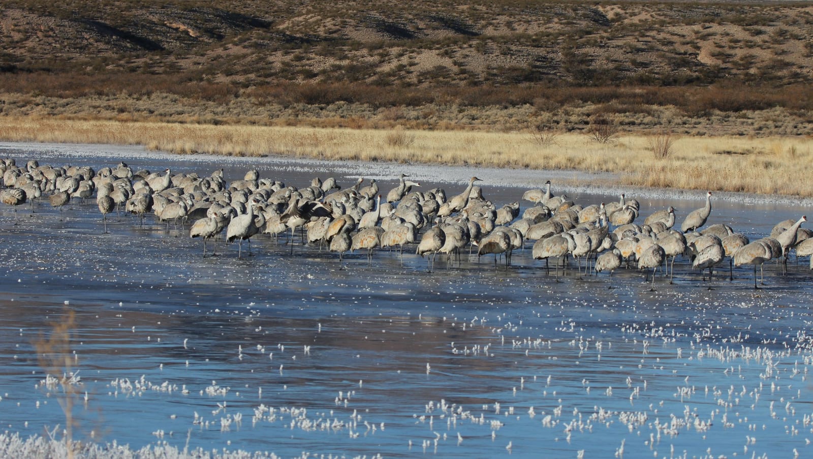
A large flock of sandhill cranes standing in shallow water at Bosque del Apache, dry hills behindJason Crotty / CC BY 2.0 via Wikimedia Commons
🌲Natural

Bosque del Apache National Wildlife Refuge

Part ofAlbuquerque & the Middle Rio Grande

A Rio Grande refuge south of Socorro where cranes and geese winter by the tens of thousands on wetlands and fields kept by people, because the river no longer floods to make them.

WinterPhotographyPaid EntryFall
⏱
Duration
Half a day; dawn and dusk for the flights.
🎟
Admission
Day-use fee per vehicle.
📅
Best Season
Late October to February for cranes and geese.

The Story

Every autumn sandhill cranes come down out of the northern Rockies to the Rio Grande south of Socorro, and with them tens of thousands of snow and Ross's geese. At Bosque del Apache they spend the winter, flying out at sunrise to feed in the fields and coming back at dusk to roost in shallow water. The morning fly-out, a whole pond of birds lifting at once, is what people drive here in the dark to see.

The name means woods of the Apache, from the camps Apache people made in the cottonwood forest along the river. That forest and its marshes were made by flood. Dams and levees on the Rio Grande ended the floods in the twentieth century, and by the time the refuge was established in 1939 the natural wetlands had shrunk to almost nothing. The Civilian Conservation Corps built its first ponds in the 1930s.

What visitors see now is kept by hand. Water is moved through canals and gates into the ponds on a schedule that imitates the old seasons, fields are farmed and corn left standing for the birds, and invasive saltcedar is cut, sprayed and burned back to let the native plants return. A loop road of about twelve miles runs past the wetlands and fields, with viewing decks and short trails.

The cranes and geese arrive in late October and leave by about February, and the Festival of the Cranes, run from Socorro, comes in November. In summer the refuge is quiet and green, an oasis in dry country.

Visitor Info

⏱
Time Needed
Half a day; dawn and dusk for the flights.
🎟
Admission
Day-use fee per vehicle.
📅
Best Season
Late October to February for cranes and geese.
🛣️
Highway
NM-1

On the Map

Nearby

The closest stops worth working into your route

historical25 mi away
Trinity Site
Where the first atomic bomb was exploded on July 16, 1945, open one day a year, and remembered by its neighbors as the start of decades of illness the government took eighty years to acknowledge.
attraction46 mi away
Very Large Array
Twenty-seven radio dishes, each 82 feet across and 230 tons, spread in a Y across an Ice Age lakebed on the Plains of San Agustin and moved on rails to change how sharply they see.
cultural61 mi away
Three Rivers Petroglyph Site
More than 21,000 petroglyphs on a basalt ridge above the Tularosa Basin, one of the few places in the Southwest set aside for its rock art alone, walked on a rough half-mile trail.
historical64 mi away
Salinas Pueblo Missions National Monument
Three Spanish mission churches raised over Tiwa and Tompiro pueblos east of the Manzano Mountains in the 1600s, each of its own stone, and one never finished.
historical78 mi away
Smokey Bear Historical Park
The small park in Capitan where the living Smokey Bear is buried, a cub found clinging to a burned tree in the Capitan Mountains in 1950, six years after the cartoon was invented.
natural82 mi away
White Sands National Park
The largest gypsum dunefield on Earth, a national park since 2019, surrounded on all sides by military ground whose missile tests close its only road for hours at a time.