 Intermountain Region, U.S. Forest Service / public domain via Flickr
The Story
In the early summer of 1906 or 1907 Edward Arnell was up St. Charles Canyon building a sawmill and hunting sage grouse to feed his crew. A bird he shot fell beside a small hole at the foot of a cliff, and cold air was coming out of it. He came back with seven men and climbed down. Inside they found the skeleton of a bear.
Scouts who explored it in 1913 found porcupine bones and called it Porcupine Cave. The name that stuck came later and from much farther away. Minnetonka is built from Dakota words, mni and tanka, water and big — a language of the northern plains, in a valley that was Shoshone country — and a local pioneer, Roy Welker, usually gets the credit for attaching it. The meaning handed down in the valley, falling water, is not quite what the words say.
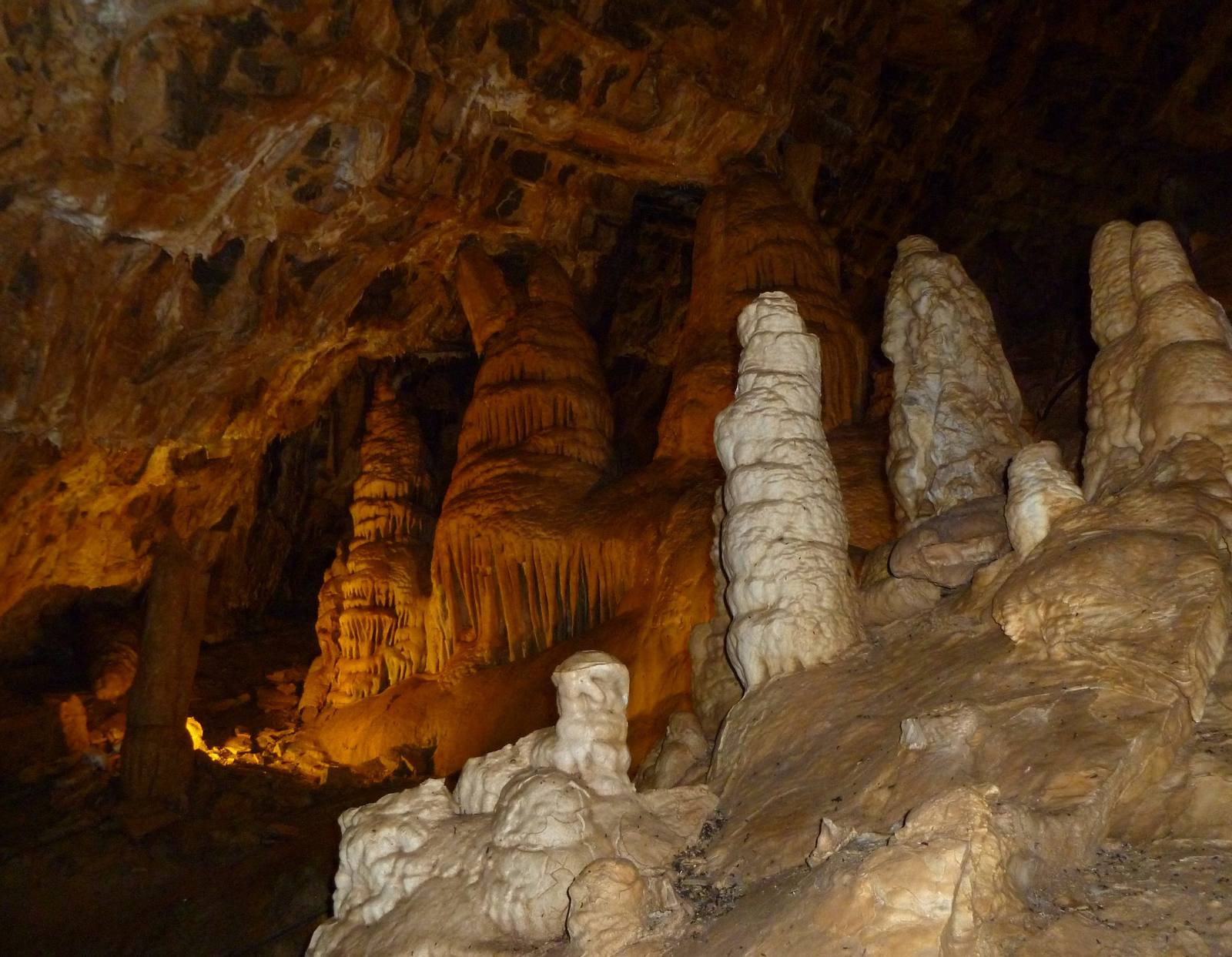
The cave runs back into Mississippian limestone, and the walls and ceilings carry fossils of animals from the warm sea that laid the rock down. It stays close to 40 degrees all year. For its first quarter century it was a Scout adventure, and early visitors broke off many of its best formations. In 1936 a government work project spent $17,000 widening the entrance and building stairs, and by 1938 the cave was being advertised as open to the public. The guided route today is about half a mile through nine rooms, the largest a ballroom some 300 feet long, and it climbs and descends close to 900 stairs round trip.
It is also a hibernaculum for five species of bats. Townsend's big-eared bats winter in the coldest stretch, the first few hundred feet inside the entrance, and the Forest Service fitted the entrance with a gate the bats can fly through.
Tours are guided and seasonal, from the trailhead at the top of St. Charles Canyon. Bring a jacket, whatever the temperature in the parking lot.
Visitor Info
On the Map
Nearby
The closest stops worth working into your route
Historical markers nearby
Roadside plaques and monuments within a short detour