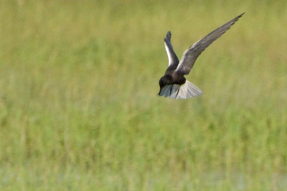
 goingslo / CC BY 2.0 via Flickr
The Story
North of Bear Lake the valley floor turns to cattail and bulrush, about eighteen thousand acres of it, and the Bear River runs through the marsh on a course it did not choose. For some eleven thousand years the river passed the lake by, swinging around the north end of the valley without entering it. In 1911 the Telluride Power Company finished a canal that turned it in. Utah Power and Light, which absorbed Telluride the following year, built on the scheme, and today nearly the whole river leaves its bed at Stewart Dam, crosses the marsh in the Rainbow Inlet Canal and enters the lake through Mud Lake. Each summer the Lifton pumping station, on the north shore east of St. Charles, lifts it back out into the Outlet Canal, fourteen miles long and 150 feet wide, which carries it across the marsh again to rejoin the river and run on to farms in Idaho and Utah. The top twenty-one feet or so of the lake is a reservoir.
That plumbing made Dingle Swamp what it is. The marsh, a remnant of the larger lake that once filled the valley, had already shrunk from about 25,000 acres to fewer than 17,000 when the Fish and Wildlife Service made it a refuge in 1968, and its managers still set water levels in step with PacifiCorp, the utility that now owns the gates.
The Shoshone, Ute and Bannock hunted this valley long before the canals. What the water supports now is birds: about a hundred migratory species nest here, colonial waterbirds above all, among them one of the larger white-faced ibis colonies in the West, and tens of thousands more stop over in spring and fall. Moose turn up in the willows.
The Salt Meadow auto tour route is open sunrise to sunset all year, though winter can close it, and there is a canoe trail on the marsh. Entry is free. Birds are best in the morning.
Visitor Info
On the Map
Nearby
The closest stops worth working into your route
Historical markers nearby
Roadside plaques and monuments within a short detour