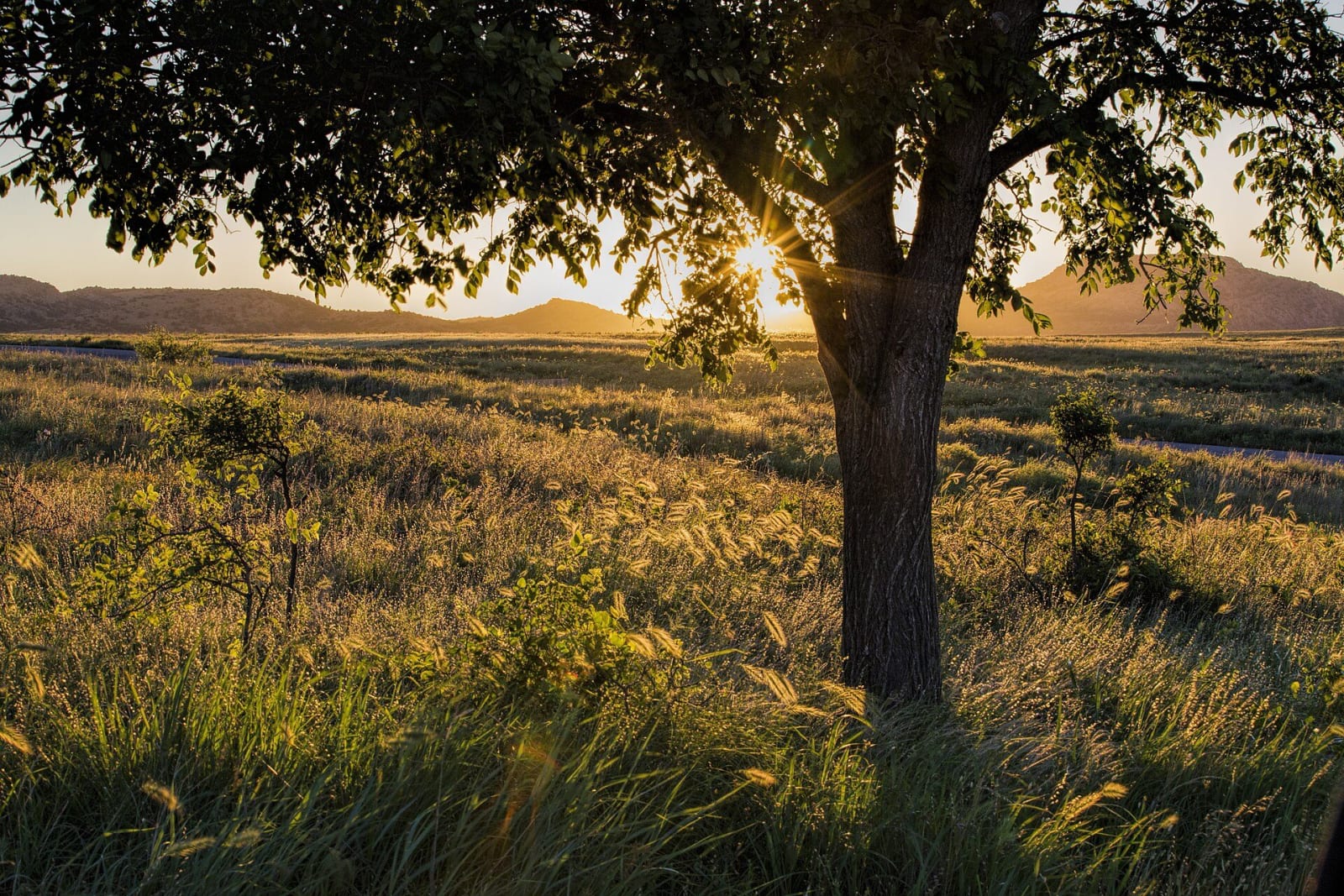
The Wichita Mountains & the Southwest
Mount Scott and the Wichita bison range, the Comanche Nation's museum, Anadarko's Plains art, Quartz Mountain, Old Greer County and the Chisholm Trail at Duncan.
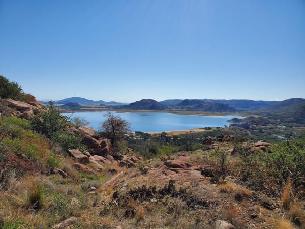
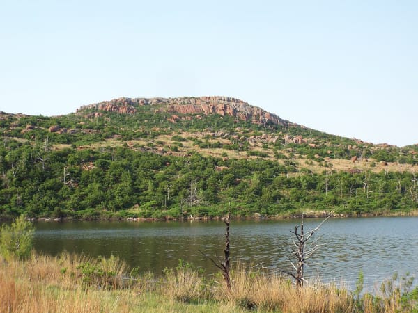
The Wichita Mountains sit in the middle of this corner of Oklahoma, a range of worn granite between Lawton and the bison prairie of the federal refuge. West of them the Quartz Mountains rise out of Lake Altus-Lugert, and beyond lie the cotton and wheat plains of Old Greer County, which Texas counted as its own until the Supreme Court gave it to Oklahoma Territory in 1896. North, along the Washita, are Anadarko and Carnegie. East, US-81 follows the line of the Chisholm Trail through Duncan to the Red River.
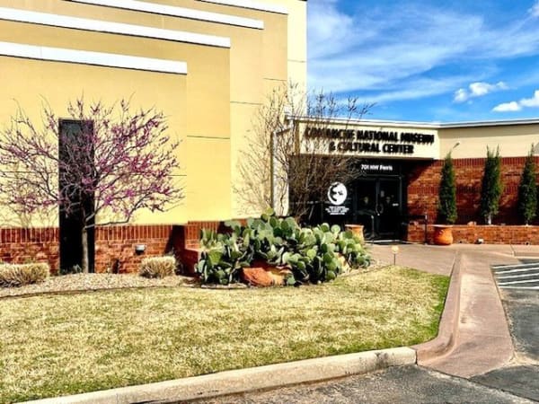
This is the homeland the Comanche, Kiowa and Plains Apache were held to by the 1867 Medicine Lodge treaty, allotted and opened to settlers in August 1901. The Comanche Nation is governed from north of Lawton and keeps its own museum in the city. Kiowa families live around Anadarko, Fort Cobb and Carnegie, the Wichita and Affiliated Tribes are headquartered at Anadarko, and the Southern Plains Indian Museum there shows the art of the western nations. Fort Sill, an active Army post that visitors enter with a pass, held Chiricahua Apache prisoners of war from 1894; their descendants are the Fort Sill Apache Tribe, headquartered north of Apache.
The refuge is the place only this region has: bison shipped from New York in 1907, met on arrival by Quanah Parker and Comanche elders who remembered the old herds.
What to See in The Wichita Mountains & the Southwest
6 places across the region, grouped by what they are.
Natural Areas
Historic Sites
Towns & Gateways
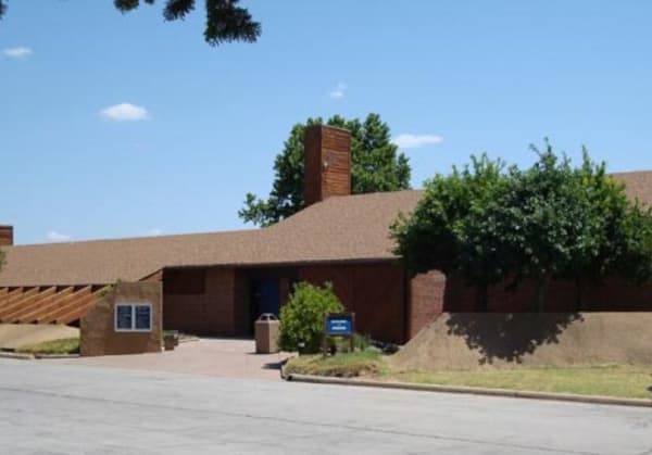
Scenic Drives through The Wichita Mountains & the Southwest
Stories from The Wichita Mountains & the Southwest
The Wichita Mountains & the Southwest rewards the unhurried. Pick a base, fan out, and let the country between the headline stops surprise you.
← Explore more of Open Road Guide