Storm clouds and rain over the high plains at Black Mesa State Park in the Oklahoma Panhandle.
Christopher Gabbard / CC BY-SA 2.0 via Wikimedia Commons
Oklahoma · Region

No Man's Land & the Northwest

Black Mesa and the state high point, the Panhandle's own museum, an alabaster cavern, the Glass Mountains, selenite digging and a homesteader's sod house.

7 places to explore

The Oklahoma Panhandle is a strip 34.5 miles deep and 167 miles long that belonged to no state or territory from 1850 to 1890. Comanche bands held it into the 1870s, with Kiowa, Plains Apache, Cheyenne and Ute people on the same plains, and Santa Fe Trail freighters crossed its western end on the Cimarron Route. Ranchers and then squatters moved in without title, ran their own claim boards and vigilance committees, and called the place No Man's Land, because no one could legally own it. Driving it is a long run west: the No Man's Land Museum at Goodwell, Boise City, then OK-325 to Kenton, where a trail climbs Black Mesa to the state's highest ground, 4,973 feet, a few miles from New Mexico and Colorado.

East of the 100th meridian the country breaks into red beds and gypsum. This was the western end of the Cherokee Outlet, land the Cherokee Nation held by treaty, and Camp Supply, the post Custer marched from to the Washita in 1868, stands at Fort Supply, closed for now. Gypsum is what only this region has: the alabaster cavern near Freedom, the selenite-capped Glass Mountains on US-412, and the salt flats near Jet, where anyone may dig hourglass selenite crystals from April through mid-October. At Aline the Oklahoma Historical Society keeps the one sod house in the state built by a homesteader.

What to See in No Man's Land & the Northwest

7 places across the region, grouped by what they are.

Geology & Rock Formations
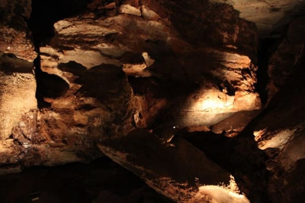
Lit gypsum walls and ledges inside Alabaster Caverns.

Alabaster Caverns State Park

Freedom

A three-quarter-mile gypsum cave under Cedar Canyon near Freedom, with selenite, rare black alabaster, five kinds of bats and a past as a 1950s fallout shelter.

View details →
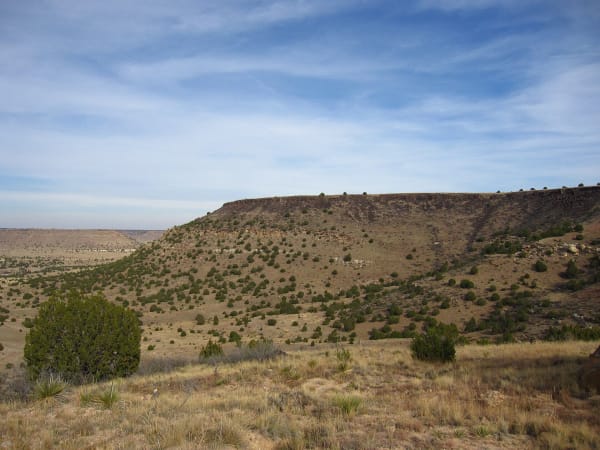
The juniper-dotted flank of Black Mesa rising above the grassland of Cimarron County.

Black Mesa State Park & Nature Preserve

Kenton

A basalt-capped mesa reaching into the Panhandle from New Mexico, with a 4.2-mile trail to Oklahoma's highest ground and nights as dark as any on public land.

View details →
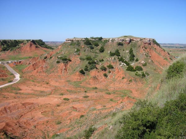
Red buttes capped with pale gypsum in the Gloss Mountains, seen from a mesa top.

Gloss Mountain State Park

Fairview

Red buttes of the Blaine Escarpment beside US-412, capped with gypsum whose selenite flashes in the sun, with a trail up Cathedral Mountain and a park kept by its neighbours.

View details →
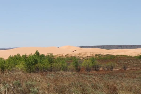
Bare pale sand dunes rising beyond a band of green shrubs and dry grass at Little Sahara State Park.

Little Sahara State Park

Waynoka

More than 1,600 acres of bare, moving dunes south of Waynoka, blown from the Cimarron's Ice Age terraces, begun as a park with two circus camels in 1958.

View details →
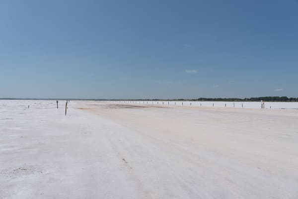
The flat white salt plain of the selenite digging area under a blue sky.

Salt Plains National Wildlife Refuge

Cherokee

About twelve thousand acres of salt flat near Jet where visitors dig hourglass selenite crystals in season, and where the Cherokee Outlet treaty kept the salt open to every tribe.

View details →

Historic Sites

No Man's Land Museum

Goodwell

The Panhandle's own museum at Goodwell, kept since 1934 by a society the strip's first settlers founded, on the campus of Oklahoma Panhandle State University.

View details →

Architecture

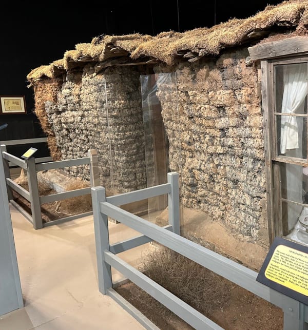
The stacked-sod walls and window of the 1894 sod house, preserved inside the museum shelter.

Sod House Museum

Aline

Marshal McCully's two-room soddy of 1894 near Aline, the one sod house left in Oklahoma that a homesteader built, under a protective cover where it has always stood.

View details →

Stories from No Man's Land & the Northwest

Nature

Gobbling Grounds

In the sand country of far western Oklahoma an oak that lives mostly underground holds the cover for a prairie grouse that has lost nearly all of its range.

3 min read
History

Datelined Guymon

The worst dust storm of 1935 reached a Panhandle town while its churchgoers prayed for rain, and a reporter writing from there gave the disaster its name.

3 min read

No Man's Land & the Northwest rewards the unhurried. Pick a base, fan out, and let the country between the headline stops surprise you.

← Explore more of Open Road Guide