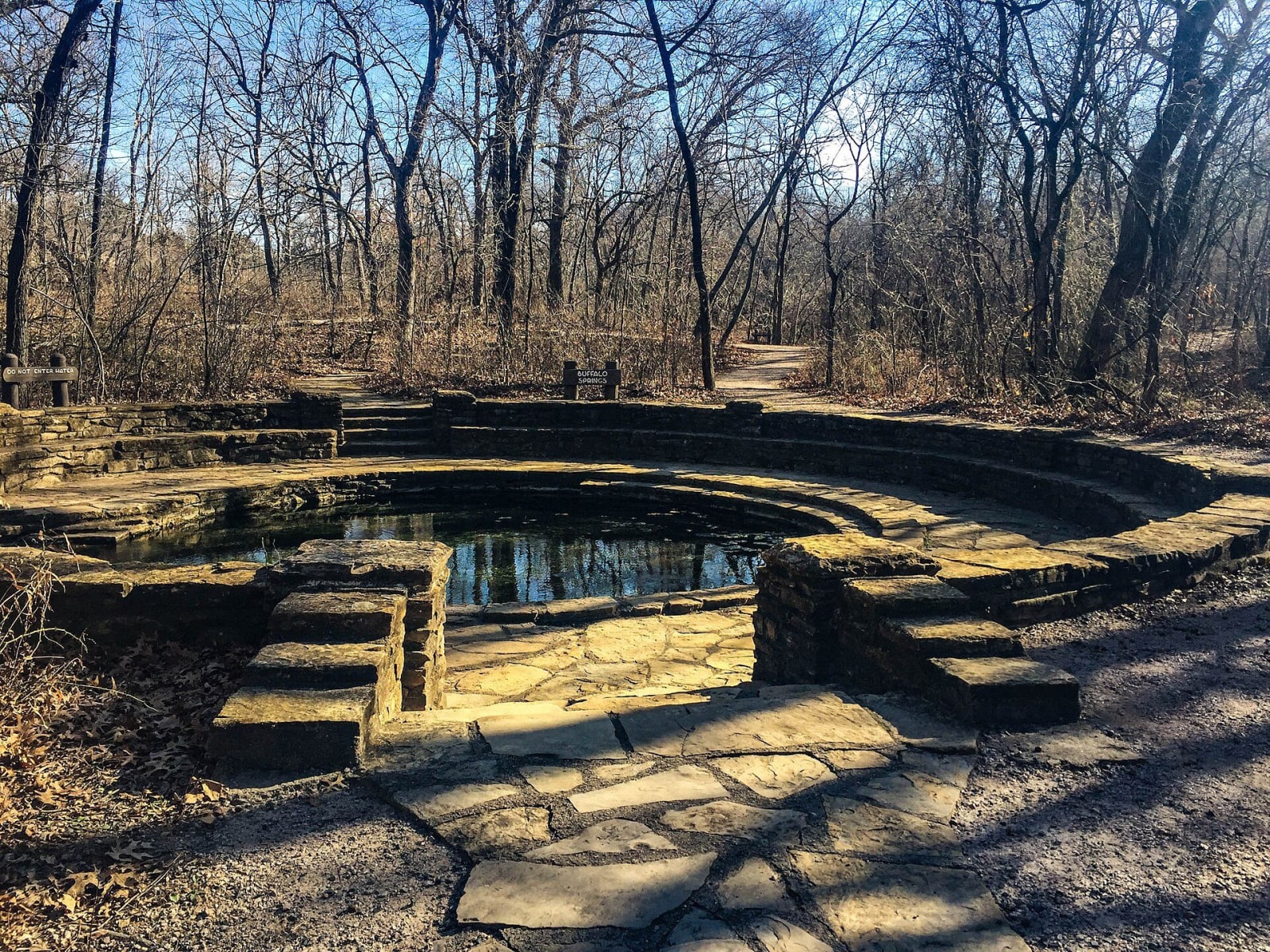
The Arbuckle Mountains are not much to look at as mountains, and most of what matters about them is underground. The Arbuckle-Simpson aquifer crops out over about 520 square miles of Carter, Coal, Johnston, Murray and Pontotoc counties, and it keeps the region's clear creeks running between rains.
Rock that holds water
The aquifer lies in three groups of rock laid down from the Late Cambrian to the Middle Ordovician, the Timbered Hills, the Arbuckle and the Simpson. The Arbuckle Group makes up most of it, as much as 6,700 feet of limestone in the west and about 3,000 feet of mostly dolostone in the east, and water moves through its cavities, solution channels and fractures. The Simpson Group above it, sandstone, shale and limestone up to 2,300 feet thick, holds water in the spaces between sand grains. Beneath it all are igneous and metamorphic rocks that let little water through. The uplift that made the mountains folded and faulted the whole sequence, with large displacements, so the aquifer sits in broken blocks.
Rain on the outcrop is almost the only recharge. The water moves generally southeast and comes out in streams and springs. It is the base flow of the Blue River, Pennington Creek, Mill Creek, Travertine Creek, Delaware Creek and Honey Creek, which goes over Turner Falls. Byrds Mill Spring is the primary water supply of Ada. Near Sulphur and the Chickasaw National Recreation Area the fresh water flows west beyond the edge of the outcrop and becomes confined beneath younger rock. A test well drilled to 1,820 feet during the state's study still brought up fresh water.
The pipeline
In 2002 the Central Oklahoma Water Resource Authority, made up mostly of communities in Canadian County, proposed to buy water rights over the aquifer, drill wells and build an 88-mile pipeline to central Oklahoma. In Oklahoma groundwater belongs to the owner of the land above it, so the state considered the plan a permissible use. Local residents, citizens' groups and the National Park Service feared that large withdrawals would cut the flow of the rivers and springs, and many protests were filed with the Oklahoma Water Resources Board.
Measure first
The legislature answered with Senate Bill 288 in 2003. It stopped temporary permits for municipal or public water supply outside any county over a sensitive sole source groundwater basin, and the eastern Arbuckle-Simpson, which the federal Environmental Protection Agency had designated a Sole Source Aquifer in 1989, was the only such aquifer in the state. The moratorium was to hold until the Water Resources Board finished a hydrological study and approved a maximum annual yield that would not reduce the natural flow of the springs and streams. The board ran the study with the Bureau of Reclamation, the U.S. Geological Survey, Oklahoma State University and the University of Oklahoma. Reported use from the eastern aquifer had averaged 4,299 acre-feet a year from 1964 through 2008, most of it for public water supply. The law's question was not how much water there was, but how much could be taken before the springs felt it.