Route 66 West & the Washita
Old 66 from Clinton to Texola, two road museums, Sayre's domed courthouse, the Washita where Black Kettle's village was attacked, and Roman Nose canyon.
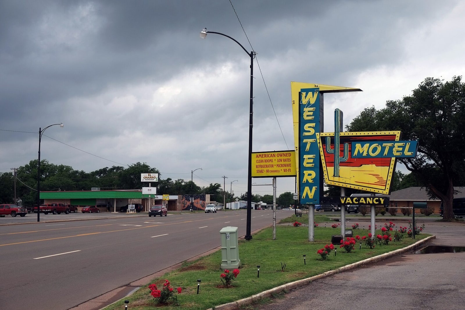
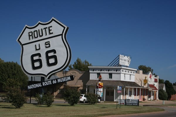
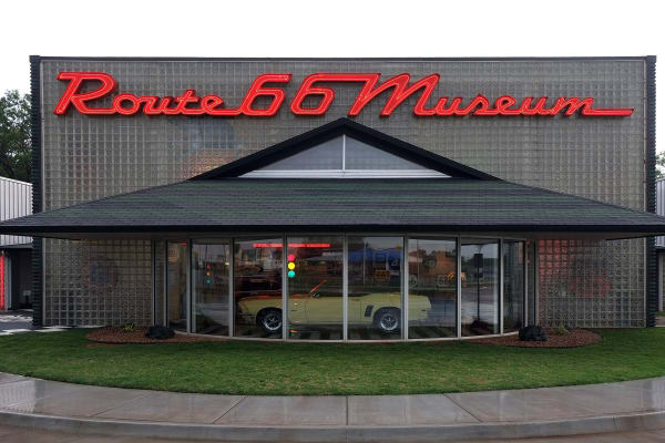
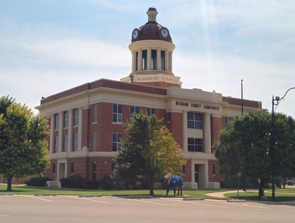
West of Weatherford, Old 66 runs beside Interstate 40 through Clinton, Foss, Canute, Elk City, Sayre, Erick and Texola to the Texas line. The road was paved across Oklahoma by 1937, and its towns lived on gasoline, tourist courts and diners until the interstate came. Clinton has the Oklahoma Historical Society's Route 66 museum, Elk City a city museum complex with a hall for all eight Route 66 states, and Sayre a domed 1911 courthouse that appears in John Ford's The Grapes of Wrath.
North of the interstate is the reservation assigned to the Cheyenne and Arapaho after 1869 and opened to non-Indian settlers in April 1892. The Cheyenne and Arapaho Tribes, Tsistsistas and Hinono'ei, are governed from Concho, east of the region, and Cheyenne camping grounds became the towns of Hammon, Clinton, Thomas, Seiling and Watonga. On the Washita River outside the town of Cheyenne, in Roger Mills County, the 7th Cavalry under George Armstrong Custer attacked the village of the peace chief Black Kettle at dawn on November 27, 1868. The National Park Service keeps the ground, with a trail from the overlook down to the village site.
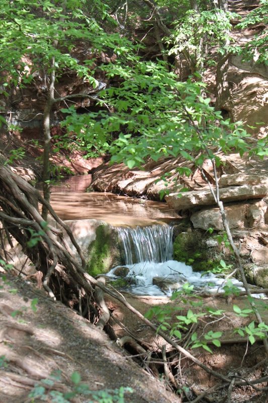
In the east, north of Watonga, Roman Nose State Park fills a gypsum canyon of springs and carries the name of a Cheyenne chief who came home from Fort Marion and the eastern boarding schools.
What to See in Route 66 West & the Washita
5 places across the region, grouped by what they are.
Natural Areas
Historic Sites

Architecture
Scenic Drives through Route 66 West & the Washita
Stories from Route 66 West & the Washita
Route 66 West & the Washita rewards the unhurried. Pick a base, fan out, and let the country between the headline stops surprise you.
← Explore more of Open Road Guide