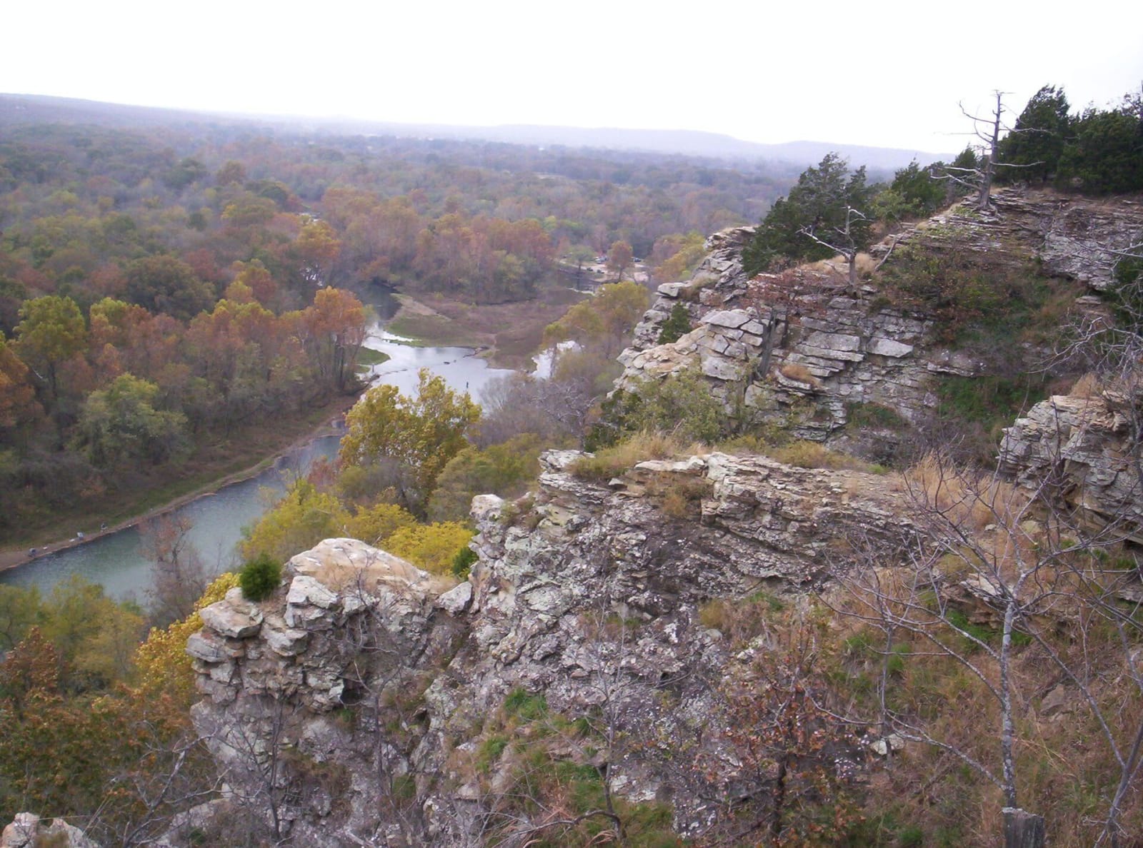
The Illinois River winding below rocky wooded bluffs at the upper end of Tenkiller Ferry Lake.
U.S. Army Corps of Engineers / public domain via Wikimedia Commons
Oklahoma · Region

Green Country & the Ozark Hills

Tahlequah's Cherokee capitol and court, the Saline courthouse, Sequoyah's 1829 cabin, Fort Gibson at Three Forks, Honey Springs and Route 66 at Miami.

7 places to explore

This is the wooded northeast corner of the state, where the Ozark Plateau gives way to the plains along the Neosho and the Illinois River cuts through the Cookson Hills. Most of it lies within the Cherokee Nation Reservation, which the Oklahoma Court of Criminal Appeals held in 2021 had never been disestablished. The Nation rebuilt its government at Tahlequah in 1839 after the Trail of Tears, on which some 4,000 Cherokees died, and it now keeps the capitol, court and prison museums there, the Saline district courthouse and Sequoyah's cabin. Ottawa County, in the far corner, holds the small reservations the government laid out from 1831 for nations moved from farther east, among them the Quapaw, Seneca-Cayuga, Shawnee, Peoria, Miami, Ottawa, Wyandotte and Modoc. McIntosh County, south of the Arkansas, is Muscogee (Creek) Nation land.

For a driver the region falls into three parts. Route 66 comes in at Quapaw and runs through Commerce, Miami, Afton and Vinita, past the lead and zinc fields that made Ottawa County the largest source of both in the world in 1926. The Cherokee hills run south from Grand Lake, dammed in 1940, to Tahlequah and Sallisaw. And at Three Forks, where the Verdigris and the Grand meet the Arkansas, Fort Gibson and the Honey Springs battlefield hold the removal years and the Civil War in Indian Territory.

What to See in Green Country & the Ozark Hills

7 places across the region, grouped by what they are.

Historic Sites
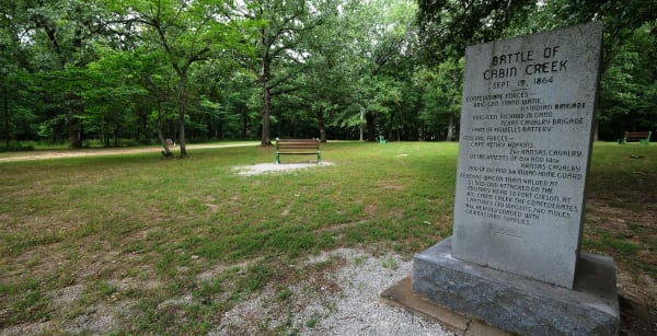
The granite Battle of Cabin Creek marker beside a gravel path in a mown, tree-shaded field at the battlefield near Pensacola.

Cabin Creek Battlefield

Big Cabin

The Texas Road ford in the Cherokee Nation where Stand Watie twice struck at Union supply trains for Fort Gibson, losing in July 1863 and winning 130 wagons in September 1864.

View details →
The log barracks and stockade fence of the reconstructed fort at Fort Gibson Historic Site.

Fort Gibson Historic Site

Fort Gibson

The army's first post in what became Oklahoma, built at Three Forks in 1824, where removed nations arrived; deeded to the Cherokee in 1857, it later housed the Dawes Commission.

View details →
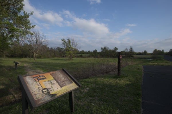
An interpretive sign in the open fields at Honey Springs near Rentiesville.

Honey Springs Battlefield

Checotah

The July 17, 1863 battlefield on the Texas Road, the largest fight in Indian Territory, where Cherokee and Muscogee regiments fought on both sides and the 1st Kansas Colored Infantry held.

View details →
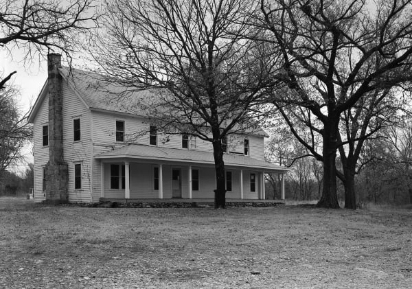
The two-story frame Saline Courthouse and its long front porch among bare trees.

Saline Courthouse Museum

Rose

The one Cherokee district courthouse of nine still standing, an 1884 building near Rose that the Cherokee Nation bought back and opened as a museum in 2019.

View details →
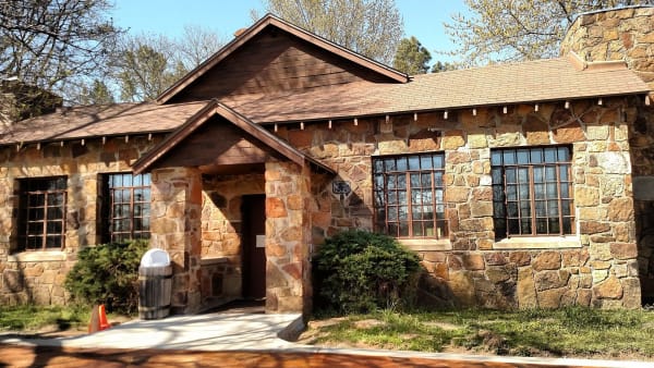
A stone building on the wooded grounds of the Sequoyah cabin site near Sallisaw.

Sequoyah's Cabin Museum

Sallisaw

The log cabin near Akins where Sequoyah, who gave the Cherokee language its syllabary, settled in 1829, kept since 2016 by the Cherokee Nation inside a stone shelter of 1936.

View details →

Towns & Gateways

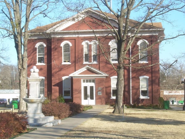
The brick Cherokee National Capitol on the Tahlequah square, home of the Cherokee National History Museum.

Cherokee National History Museum

Tahlequah

The Cherokee Nation's own history museum, in the brick capitol it built on Tahlequah's square after the Civil War, a short walk from its 1844 supreme court and its 1875 prison.

View details →

Architecture

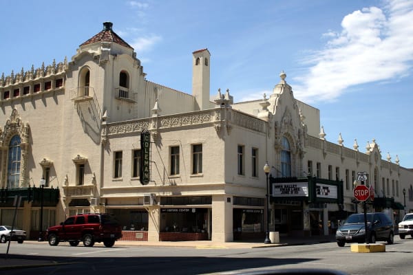
The cream Spanish Colonial front of the Coleman Theatre on Main Street in Miami, with its vertical COLEMAN sign and marquee.

Coleman Theatre

Miami

A 1929 vaudeville house on Route 66 in Miami, Spanish Colonial outside and Louis XV within, with the only 1928 Mighty Wurlitzer still in the building it was built for.

View details →

Scenic Drives through Green Country & the Ozark Hills

Scenic Byway

Route 66 Across Oklahoma: Quapaw to Texola

About 376 miles of Route 66 from the Kansas line at Quapaw through Miami, Claremore, Tulsa, Chandler, Oklahoma City, Clinton, Elk City and Sayre to Texola.

376 mi · 8.5 hrs

Stories from Green Country & the Ozark Hills

History

Eighty-Five Characters

Sequoyah's syllabary went from hand-set type in 1828 to the phones of Tahlequah, and the Cherokee Nation has spent two centuries teaching each new machine to write it.

3 min read
History

The Law Office in a Tent

Five days after Greenwood burned, B. C. Franklin was seeing clients in a Red Cross tent, and the suit he and his partners brought kept Tulsa from zoning the district out of Black hands.

3 min read

Green Country & the Ozark Hills rewards the unhurried. Pick a base, fan out, and let the country between the headline stops surprise you.

← Explore more of Open Road Guide