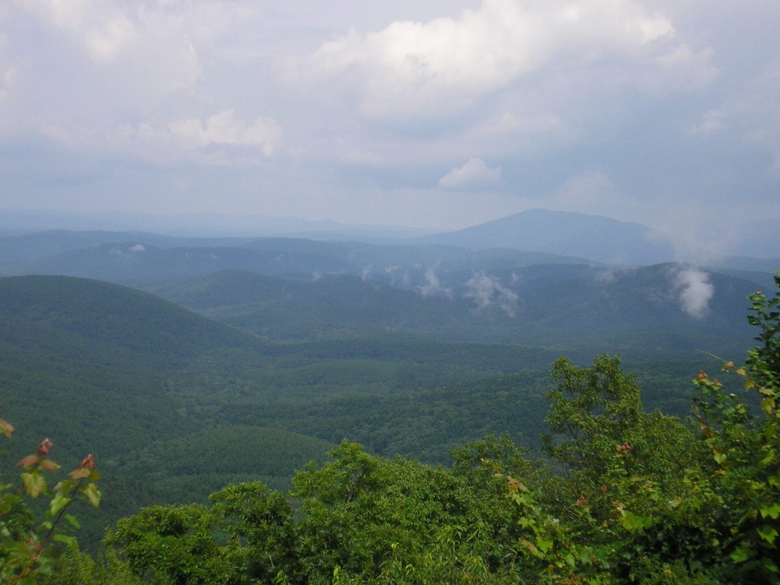
The Kiamichi & Choctaw Country
The Choctaw Cultural Center at Calera, the Tvshkahomma capitol, Fort Towson on the Red River, Beavers Bend on the Mountain Fork and the Spiro mounds.
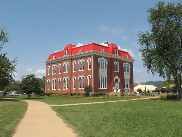
Under the Treaty of Dancing Rabbit Creek of 1830 the Choctaw Nation gave up its Mississippi homelands for this country, and from 1831 to 1833 its people came west over what the Nation calls the trail of tears and death. Fort Towson on the Red River was the end of the road for many of them. They rebuilt quickly, governing themselves from Doaksville and then, from 1884, from the brick capitol at Tvshkahomma below the Kiamichi Mountains. The Nation's headquarters and cultural center are now at Durant and Calera on US-69/75, and Fort Washita, west of Durant, belongs to the Chickasaw Nation.
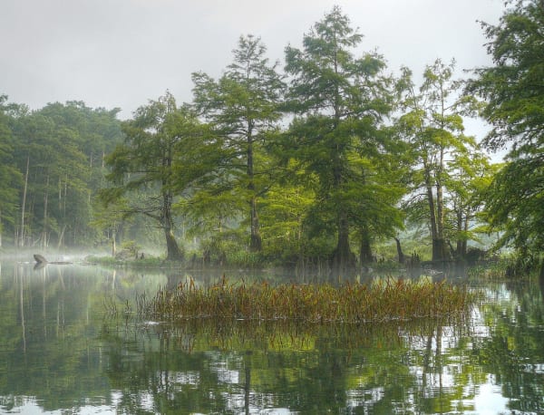
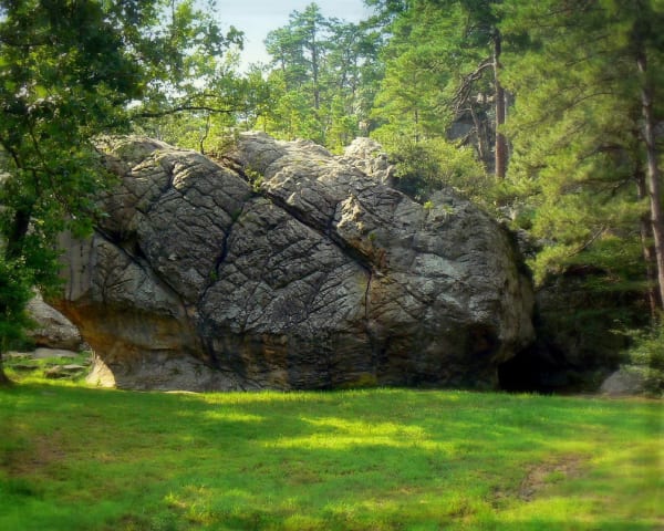
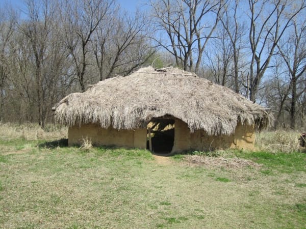
The region divides by its mountains. In the south the Kiamichi and other Ouachita ridges carry pine and hardwood that the Dierks brothers' Choctaw Lumber Company cut from Broken Bow from the 1910s, with Beavers Bend on the Mountain Fork and the Talimena Scenic Drive on the Winding Stair ridge. North of them the Texas Road crossed the coal country at McAlester, which was a quarter foreign-born by 1900, many of its miners Italian, and Robbers Cave sits in the Sans Bois hills. On the Arkansas near the state line are the Spiro mounds, a Mississippian center from about 850 to 1450 whose affiliated nations are the Caddo Nation and the Wichita and Affiliated Tribes.
What to See in The Kiamichi & Choctaw Country
6 places across the region, grouped by what they are.
Natural Areas
Historic Sites
Towns & Gateways
Scenic Drives through The Kiamichi & Choctaw Country
Stories from The Kiamichi & Choctaw Country
Mine Number Eleven
The worst coal-mine disaster of the Indian Territory years killed about a hundred men at Krebs in 1892, in a field leased from the Choctaw Nation and worked by immigrants who stayed and made it Little Italy.
The Water Under the Arbuckles
The springs at Sulphur and the city of Ada's water come out of one block of folded limestone, and a 2002 plan to pipe that water to Canadian County made the state measure it first.
The Kiamichi & Choctaw Country rewards the unhurried. Pick a base, fan out, and let the country between the headline stops surprise you.
← Explore more of Open Road Guide