Park City & the Wasatch Back
Salt Lake's high-country playground — Park City's ski resorts and silver-mining history, the Mirror Lake Highway into the Uintas, and the Heber Valley.
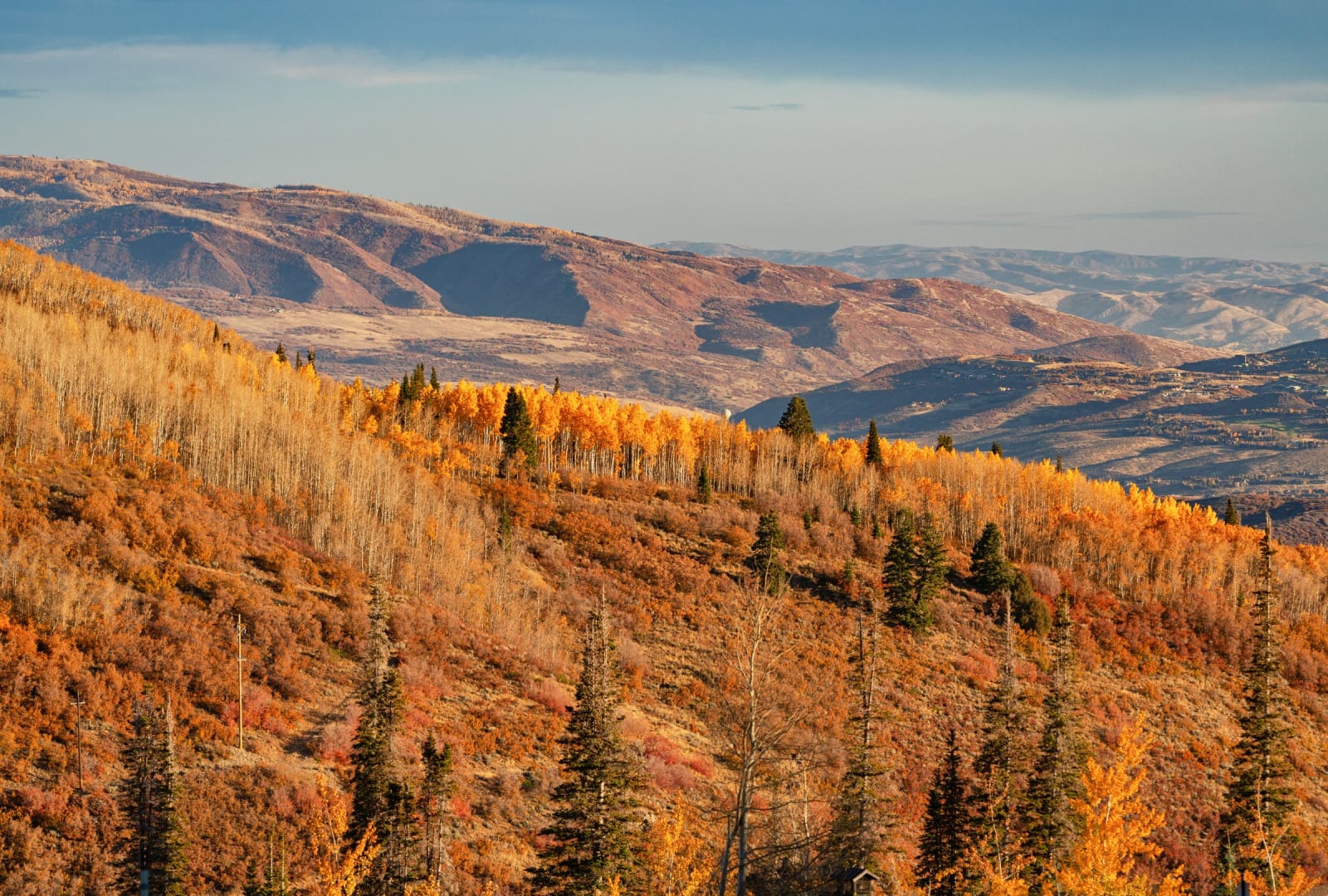
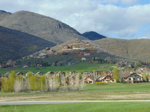
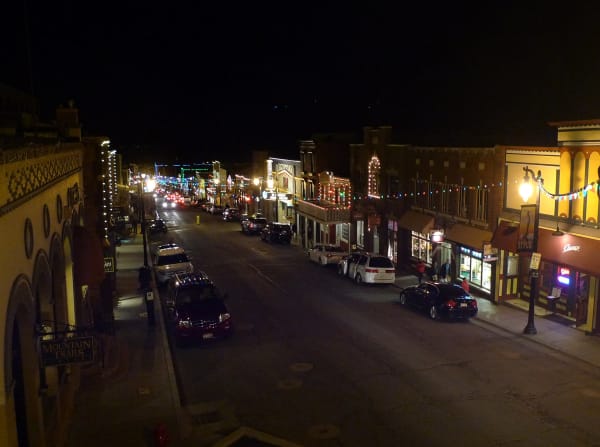
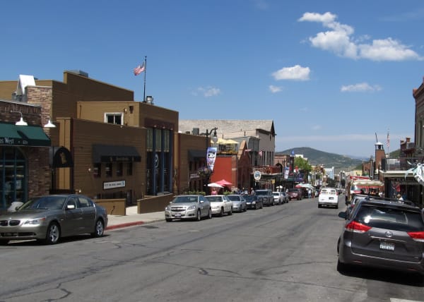
Over the ridgeline from Salt Lake, on the eastern flank of the Wasatch, lies the high country where the city goes to play. The Wasatch Back is cooler and higher than the valleys below, threaded with ski runs, alpine lakes, and the silver-mining history that started it all. At its center sits Park City, which struck silver in the 1860s, nearly died when the ore ran out, and reinvented itself as one of the great ski towns of the American West — home now to the Sundance Film Festival each January and host of the 2002 Winter Olympics.
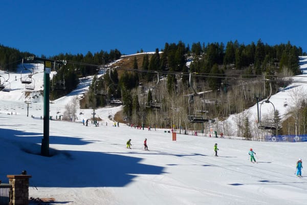
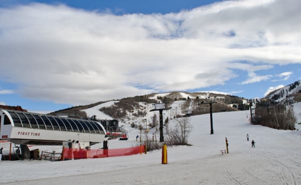
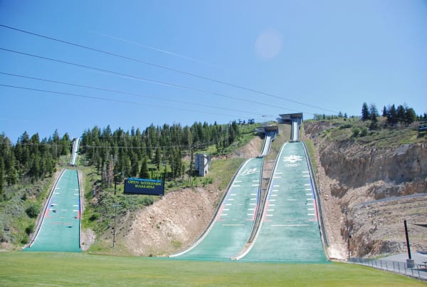
Two resorts rise straight from the edge of town: Park City Mountain, the largest ski area in the United States by acreage, and the polished, skiers-only slopes of Deer Valley. Up the hill, the Utah Olympic Park still keeps its bobsled track and towering ski jumps in use as a training center, with summer zip lines and a museum for everyone else.
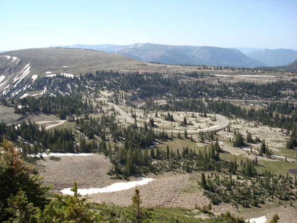
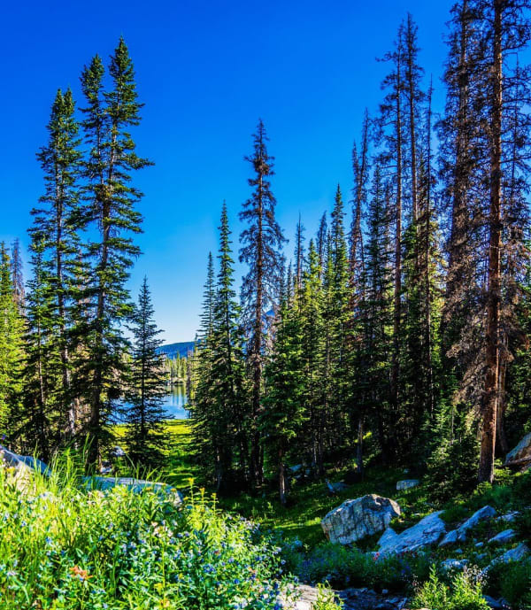
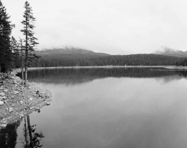
East of Park City, the small town of Kamas marks the start of the Mirror Lake Highway — State Route 150 — which climbs into the Uinta Mountains, one of the only major ranges in the country that runs east to west. The road passes a string of alpine jewels — Mirror Lake, Trial Lake, Ruth Lake — and crests above 10,000 feet at Bald Mountain Pass, one of the highest paved roads in Utah. Locals stock up first at the Samak Smokehouse, a jerky-and-provisions institution at the canyon's mouth.
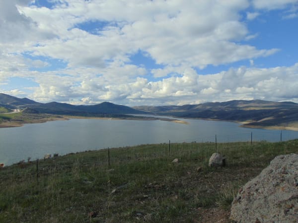
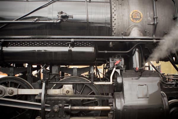
South of all this opens the green Heber Valley, where the Heber Valley Railroad still runs its historic steam excursions along the water, Jordanelle State Park gathers the boaters, and the Swiss-flavored town of Midway hides its strangest treasure: the Homestead Crater, a warm mineral spring sealed inside a beehive-shaped dome of limestone, where you can swim — or even scuba dive — in the heart of the rock.
Come in winter for the snow and the festival; come in summer for the lakes, the trains, and the long light over the high meadows.
What to See in Park City & the Wasatch Back
16 places across the region, grouped by what they are.
Geology & Rock Formations
Natural Areas


Hikes & Trails
Towns & Gateways
Food & Drink
Attractions
Scenic Drives through Park City & the Wasatch Back
Alpine Loop Scenic Byway
Twenty hairpin miles over the shoulder of Mount Timpanogos — UT-92 from American Fork Canyon into Provo Canyon, past Timpanogos Cave, Cascade Springs, and Sundance. Paved and narrow, closed in winter, unbeatable in fall.
Mirror Lake Scenic Byway
UT-150 climbs from Kamas into the Uintas over Bald Mountain Pass — at 10,715 feet, Utah's highest paved road — to the glassy alpine water of Mirror Lake. A short, spectacular season, roughly late June through early October.
Stories from Park City & the Wasatch Back
The Greatest Snow on Earth
Utah puts “The Greatest Snow on Earth” on its license plates, and the snow is real — but almost everything people believe about why is wrong. It isn't the lake, and it isn't even the driest snow in the country. It is a recipe, and the same warming that is drying the Great Salt Lake is starting to take it apart.
The Fault Under Everything
Most of Utah lives on the Wasatch Front because one crack in the crust raised the mountains, dropped the valleys, cut the benches the cities are terraced onto, and warms the springs — and the same crack is the largest earthquake hazard in the interior West, quiet now for a very long time.
Where One Tree Ends
Every gold aspen hillside in Utah is a handful of giant, ancient, single organisms — and the patchwork of autumn color is a map of where one stops and the next begins. They are also quietly disappearing.
The Small Print at the Side of the Road
Utah's historical markers carry two stories: the one on the front, and the one at the bottom — a hundred and twenty-five years of daughters, sons, counties, towns, and one museum deciding what deserved bronze.
What the Mines Left Behind
Utah's greatest ski resorts were built on the wreckage of the industries that came before them — silver mines gone bust, a uranium fortune, a sheep range, a watershed logged and grazed nearly to ruin. The lifts went up exactly where the money ran out.
Park City & the Wasatch Back rewards the unhurried. Pick a base, fan out, and let the country between the headline stops surprise you.
← Explore more of Open Road Guide