 A J Butler / CC BY 3.0
The Story
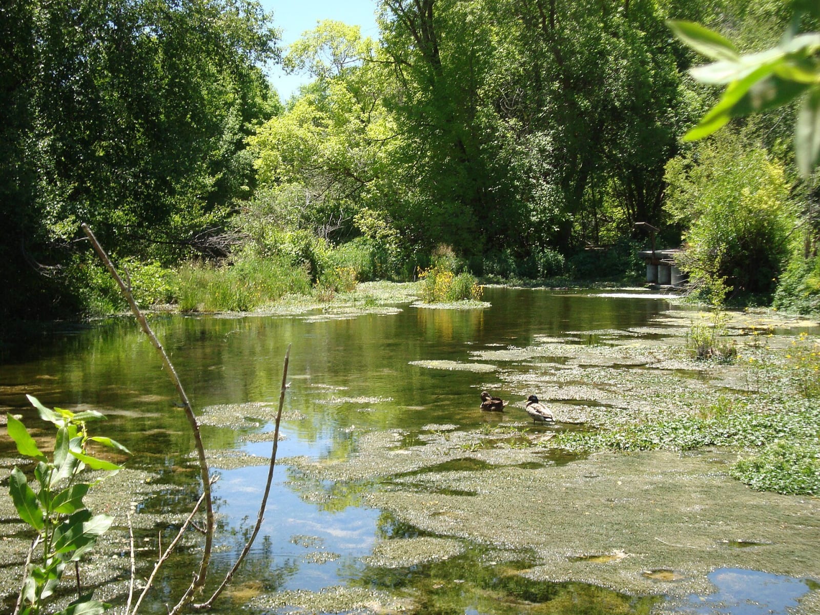
Cascade Springs is the gentlest stop on the Alpine Loop, and one of the strangest. A paved spur drops east off the high point of the byway, down a forested ridge some fifteen hundred feet, to a hillside where groundwater simply pours out of the earth — more than seven million gallons a day — and runs downhill through a stepped series of travertine terraces and clear, trout-filled pools before joining Provo Deer Creek below. A short network of paved path and boardwalk threads through it all on little bridges, shady and cool and almost entirely flat: fifteen or twenty easy minutes among the springs, and a welcome contrast to the switchbacks that make up the rest of the drive.
Where the water comes from is the real marvel. It is snowmelt and rain that sinks into the mountains and percolates down through limestone and old glacial fill before surfacing here — and the flow barely changes from a wet year to a dry one, which tells you the aquifer feeding it is enormous. Most travertine terraces people have heard of are hot springs — Yellowstone's Mammoth, or the warm crater over at Midway, just down the road — but these are built by cold groundwater, the dissolved limestone settling out as the water loses its carbon dioxide on the way down.
All that steady water, in country that is otherwise dry, makes the place an oasis. A ribbon of aspen, maple, and oak crowds the streams; golden columbine lines the pool margins through the summer while sego lily and penstemon hold the drier slopes; and the animals follow the water in numbers the surrounding hills could never support — deer, moose, elk, wild turkeys, hummingbirds, beaver, and, improbably, otters. A quirk of geology feeding an unlikely amount of life.
The gentleness comes with a footnote. In September 2003, a Forest Service prescribed burn meant to clear six hundred acres of oak brush near the springs escaped its lines in the wind and grew into a wildfire of nearly eight thousand acres — it smoked the Wasatch Front for a week, cost millions to put out, and the official review that followed faulted the burn plan itself. The surrounding country has been growing back ever since.
Visitor Info
On the Map
Nearby
The closest stops worth working into your route
Historical markers nearby
Roadside plaques and monuments within a short detour