Home / Missouri / The Ozark Riverways & the St. Francois Mountains / Alley Spring and Mill (Ozark National Scenic Riverways)
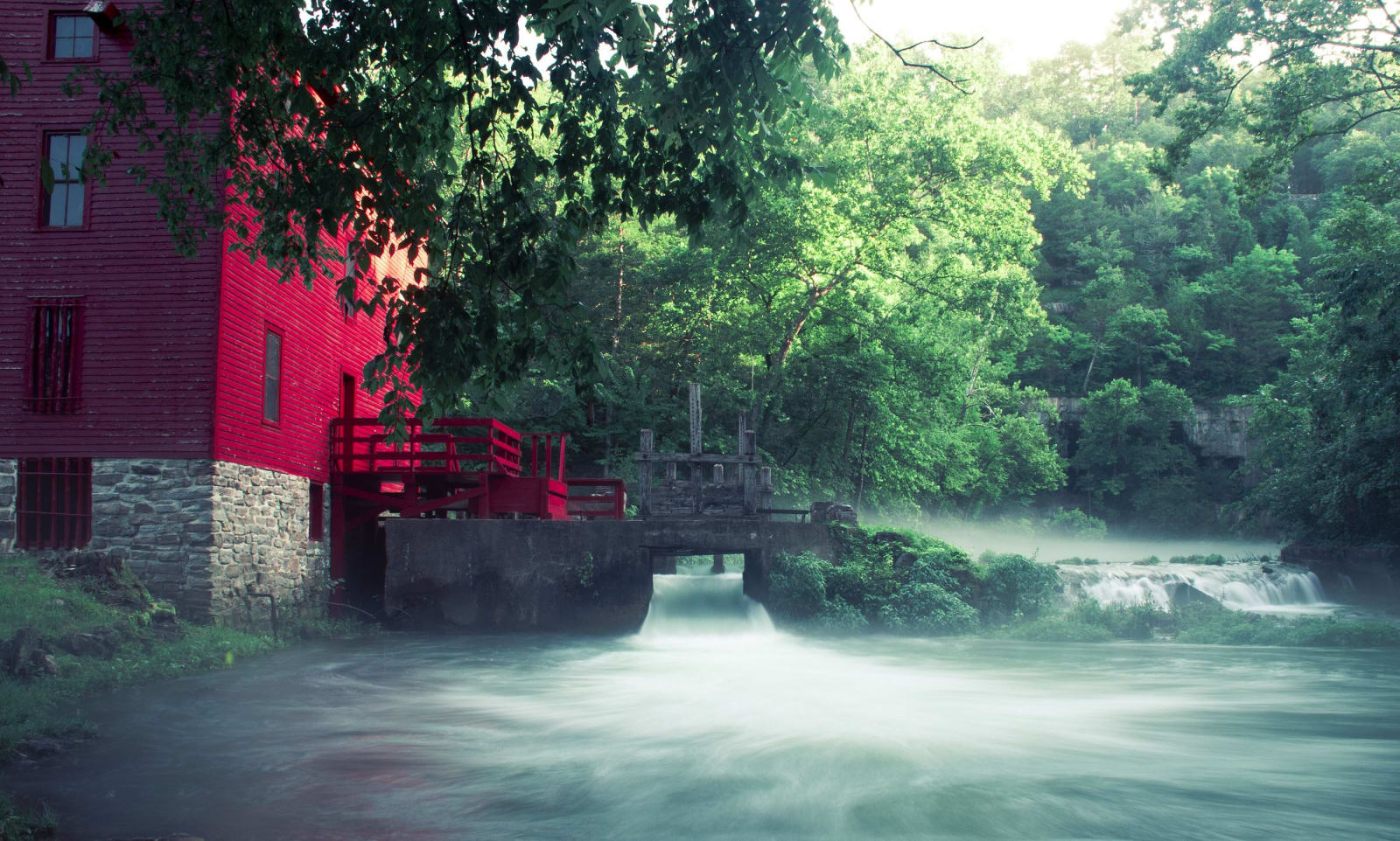
The red Alley Mill beside the rushing blue-green outflow of Alley Spring under summer trees.28Prozent / CC BY-SA 4.0 via Wikimedia Commons
🏛️Historical

Alley Spring and Mill (Ozark National Scenic Riverways)

Part ofThe Ozark Riverways & the St. Francois Mountains

The red 1893-94 roller mill on the Alley Spring branch west of Eminence, built to make wheat flour in corn country and turned by a turbine fed by the spring rather than the river.

⏱
Duration
One to two hours.
🎟
Admission
No entrance pass is required for Ozark National Scenic Riverways; developed campgrounds charge a fee.
📅
Best Season
Spring through fall; the basement and attic of the mill are not open to visitors.

The Story

The red mill at Alley stands on the spring branch, not the Jacks Fork. Alley Spring rises at the foot of a limestone bluff six miles west of Eminence, averaging 89 million gallons a day, usually a calm azure and after storms a churning brown, and that steady flow is what the mill was built to use.

George Washington McCaskill built the present mill in 1893 and 1894 as a merchant mill, larger than most in the Jacks Fork country, replacing one on the same site that was standing by 1868. Farmers brought wheat or corn, and the miller bought it, traded for it, or took a toll, a share of the grain, for grinding. In place of an old water wheel, a 35-inch Leffel turbine sat in a pit under the back porch, its speed set from a control wheel on the porch. Belts drove a shaft the length of the building, elevators lifted the grain through roller machines again and again until it was fine, and a swing sifter shook the flour through sieves. Floods kept the business marginal, and a roller mill for wheat flour in a country that mostly grew corn was a marketing mistake. The building was unpainted at first, then white with green trim, and only later red.

John Knotts bought the 80-acre site in 1902 and added a store and a blacksmith shop, and Alley grew into a community with dances, baseball and roller skating. It became a state park in 1924 and part of the Ozark National Scenic Riverways in 1969.

Visitor Info

⏱
Time Needed
One to two hours.
🎟
Admission
No entrance pass is required for Ozark National Scenic Riverways; developed campgrounds charge a fee.
📅
Best Season
Spring through fall; the basement and attic of the mill are not open to visitors.
🛣️
Highway
MO-106

On the Map

Nearby

The closest stops worth working into your route

natural28 mi away
Big Spring (Ozark National Scenic Riverways)
A spring at the foot of a dolomite bluff south of Van Buren averaging about 289 million gallons a day into the Current River, dissolving out a cave as it flows, beside a CCC lodge.
industrial41 mi away
Dillard Mill State Historic Site
A red gristmill on Huzzah Creek, built by Emil Mischke from 1904 to 1908 with steel roller mills and a turbine, the center of a guest lodge from 1930, and still run for visitors.
geological43 mi away
Johnson's Shut-Ins State Park
The East Fork of the Black River squeezed through chutes and potholes in ancient rhyolite, and a valley rebuilt after a mountaintop reservoir gave way before dawn on December 14, 2005.
geological49 mi away
Taum Sauk Mountain State Park
Missouri's highest point at 1,772 feet, an easy walk from the lot, and a rugged loop to the state's tallest waterfall in the worn roots of 1.5-billion-year-old volcanoes.
geological54 mi away
Elephant Rocks State Park
A train of rounded granite boulders 1.5 billion years old near Graniteville, weathered in place into a tor, beside the quarry that faced the Eads Bridge piers and paved the St. Louis levee.
historical55 mi away
Battle of Pilot Knob State Historic Site (Fort Davidson)
The hexagonal earthwork in the Arcadia Valley where some 1,500 Union defenders broke Sterling Price's assault in September 1864, then slipped out at night and blew the magazine behind them.

Historical markers nearby

Roadside plaques and monuments within a short detour

Marker4.6 mi away
Eminence
Marker26 mi away
Van Buren
Marker28 mi away
Reynolds County