Home / Missouri / The Ozark Riverways & the St. Francois Mountains / Taum Sauk Mountain State Park
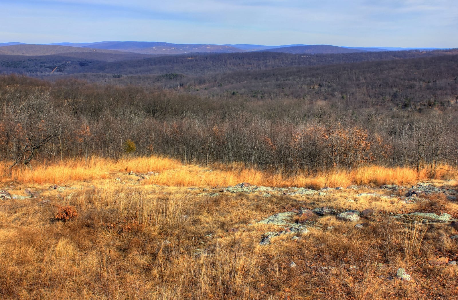
A view across golden glade grasses and bare winter woods toward the rolling St. Francois Mountains from Taum Sauk Mountain.Yinan Chen / public domain via Wikimedia Commons
🏜️Geological

Taum Sauk Mountain State Park

Part ofThe Ozark Riverways & the St. Francois Mountains

Missouri's highest point at 1,772 feet, an easy walk from the lot, and a rugged loop to the state's tallest waterfall in the worn roots of 1.5-billion-year-old volcanoes.

⏱
Duration
Half an hour for the summit; half a day with the falls loop.
🎟
Admission
Missouri State Parks lists no entrance fee; the 12-site basic campground is paid.
📅
Best Season
Spring, and any time after rain, when the falls run; fall for color from the overlook.

The Story

Taum Sauk Mountain rises to 1,772 feet above sea level, the highest point in Missouri, and an easy walk from the parking lot reaches the top. The St. Francois Mountains around it are the worn roots of volcanoes that erupted almost 1.5 billion years ago, when fine-grained rhyolite formed at the surface and coarse granite cooled below. Shallow seas later buried the knobs under almost a mile of dolomite and sandstone; uplift of the Ozarks and the erosion that followed stripped much of it away again and exposed the old rock.

That rock shows in the glades, rocky openings where desert-adapted life such as the eastern collared lizard and the sundrop flower lives among prairie plants like little bluestem and rattlesnake master, kept open by prescribed burns. Much of the park lies in the 7,028-acre St. Francois Mountains Natural Area, the largest natural area in the state.

The moderately rugged Mina Sauk Falls loop goes to the tallest waterfall in Missouri, which in wet weather drops 132 feet down volcanic ledges into a clear pool, and in any weather looks over the deepest valley in the state, with up to 700 feet between the creek and the ridgetops. A mile below the falls on the Ozark Trail, Devil's Tollgate is an 8-foot-wide passage through rhyolite 30 feet high and 50 feet long, and the trail continues to Johnson's Shut-Ins, 12.8 miles in all. Taum Sauk Creek, with an undeveloped watershed, is a designated Outstanding State Resource Water.

Visitor Info

⏱
Time Needed
Half an hour for the summit; half a day with the falls loop.
🎟
Admission
Missouri State Parks lists no entrance fee; the 12-site basic campground is paid.
📅
Best Season
Spring, and any time after rain, when the falls run; fall for color from the overlook.
🛣️
Highway
MO-CC

On the Map

Nearby

The closest stops worth working into your route

historical5.9 mi away
Battle of Pilot Knob State Historic Site (Fort Davidson)
The hexagonal earthwork in the Arcadia Valley where some 1,500 Union defenders broke Sterling Price's assault in September 1864, then slipped out at night and blew the magazine behind them.
geological6.1 mi away
Elephant Rocks State Park
A train of rounded granite boulders 1.5 billion years old near Graniteville, weathered in place into a tor, beside the quarry that faced the Eads Bridge piers and paved the St. Louis levee.
geological6.7 mi away
Johnson's Shut-Ins State Park
The East Fork of the Black River squeezed through chutes and potholes in ancient rhyolite, and a valley rebuilt after a mountaintop reservoir gave way before dawn on December 14, 2005.
industrial22 mi away
Missouri Mines State Historic Site
Federal Mill No. 3 at Park Hills, the biggest lead mine and mill complex of the Old Lead Belt under St. Joseph Lead, with its 1906 powerhouse now a museum of mining machines and minerals.
industrial28 mi away
Dillard Mill State Historic Site
A red gristmill on Huzzah Creek, built by Emil Mischke from 1904 to 1908 with steel roller mills and a turbine, the center of a guest lodge from 1930, and still run for visitors.
natural33 mi away
Hawn State Park
A schoolteacher's bequest of sandstone canyons, shortleaf pine and clear sandy creeks west of Ste. Genevieve, with one of the state's best backpacking trails.

Historical markers nearby

Roadside plaques and monuments within a short detour

Marker5.9 mi away
Fort Davidson
Marker23 mi away
Reynolds County
Marker24 mi away
Fredericktown
Marker25 mi away
Potosi
Marker26 mi away
Bonne Terre