 Matt Howry / CC BY 2.0 via Wikimedia Commons
The Story
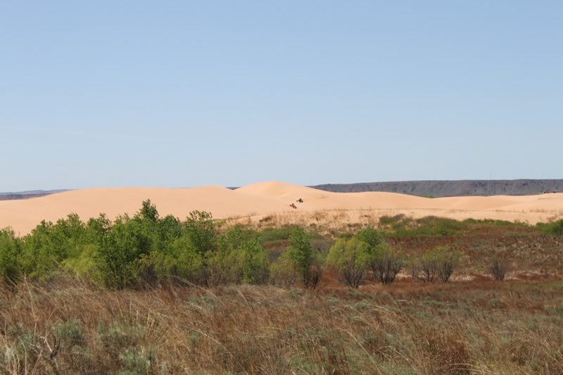
South of Waynoka the old floor of the Cimarron valley is on the move. The sand at Little Sahara is mostly reworked from terrace deposits the river left when it flowed across this ground in the Pleistocene, with some blown up from the floodplain of the present river. The prevailing winds come from the south and southwest, so grains roll up the gentle south faces of the dunes and spill down the steep north faces, and the dunes walk northeast. They have moved far enough, the Oklahoma Historical Society notes, that US-281 has been relocated three times in seventy years, each new road built twenty-five to fifty yards east of the last.
Dunes like these line the north sides of most of the big rivers in northwestern Oklahoma, but most are grassed over. These are active, bare of plants and still migrating, with a layer of sand commonly twenty-five to seventy-five feet thick over more than 1,600 acres.
The park began as a stunt. In 1958 the Waynoka Chamber of Commerce bought two camels from a circus and turned them loose on the dunes, the tourists came, and in 1959 the legislature appropriated $12,500 to buy the land. The main business now is dune buggies and ATVs, which must fly an orange flag on a ten-foot whip, and riders pay by the day. Walking is not allowed in the riding area. The place to see the sand on foot is the observation deck at the Buttercup Campground. Groceries and fuel are in Waynoka; the park has no concessions.
Visitor Info
On the Map
Nearby
The closest stops worth working into your route
Historical markers nearby
Roadside plaques and monuments within a short detour