 Chris M / CC BY 2.0 via Wikimedia Commons
The Story
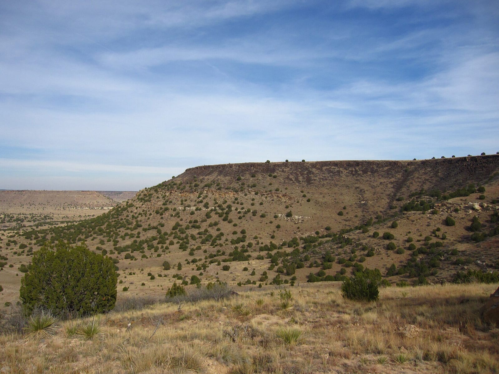
Black Mesa is the end of a lava flow. It came from Piney Mountain, a volcano in Colorado about sixty-five miles to the north-northwest, roughly three million years ago, and the Oklahoma Historical Society measures the flow at fifty-five miles long and up to six hundred feet thick. The basalt has kept the softer rock under it from wearing away, and its top, at 4,973 feet, is the highest ground in Oklahoma. Here the shortgrass prairie meets the edge of the Rockies, and many plants and animals reach the eastern or western limit of their range. The state counts 23 rare plants and eight rare animal species on the preserve, and pinyon jays, scaled quail, golden eagles and black-billed magpies among the birds.
The Oklahoma Nature Conservancy bought the mesa in 1991, and the 1,600-acre Black Mesa Nature Preserve, run by the state, protects about 60 percent of its top. The High Point Trail goes 4.2 miles from the parking area to the monument on the summit and back the same way. The preserve is open dawn to dusk and charges nothing. The park asks hikers to allow six hours, carry plenty of water, stay on the trail and stay off it in storms, deep snow or summer heat, when rock temperatures can pass 130 degrees. The land around the preserve is private, including the creek bed with the allosaurus tracks.
Black Mesa State Park, with campsites at Lake Carl Etling, is about fifteen miles away, under some of the darkest skies on public land in the country.
Visitor Info
On the Map
Nearby
The closest stops worth working into your route
Historical markers nearby
Roadside plaques and monuments within a short detour