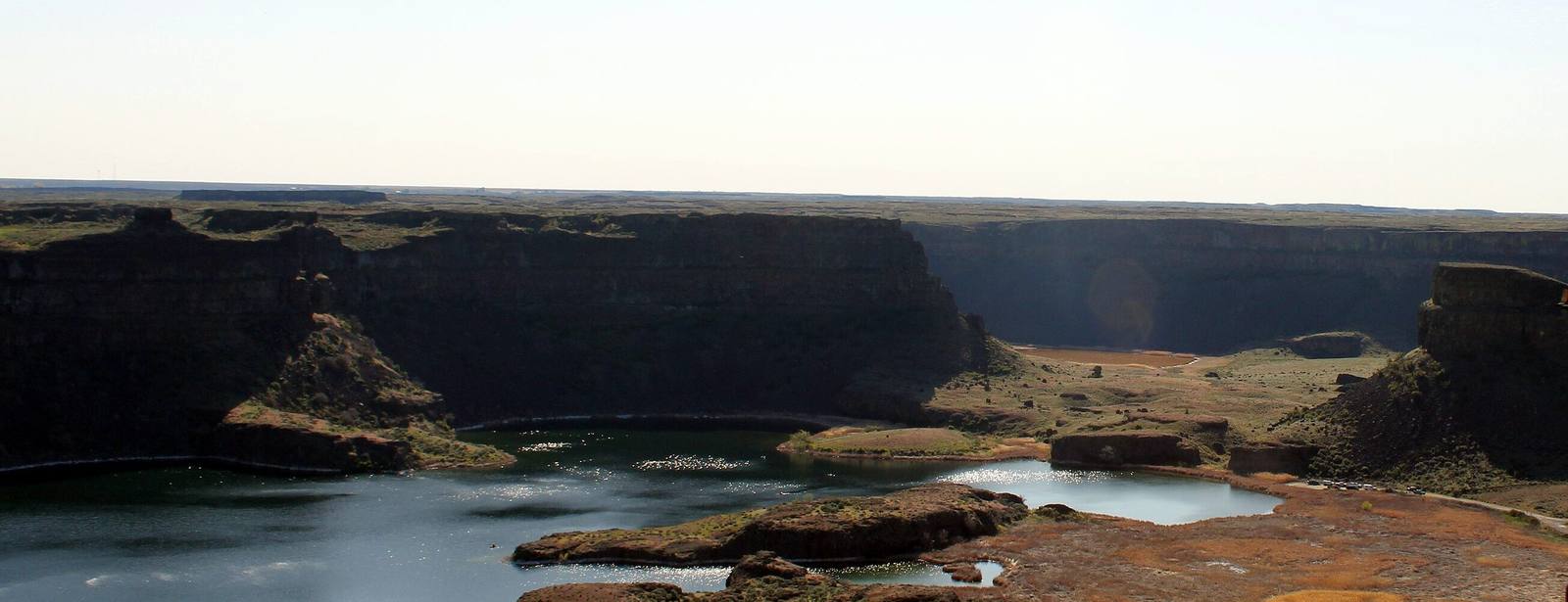
The basin of Dry Falls from the Vista House overlook, plunge pools and basalt islands below cliffs where the Ice Age floods once poured over a waterfall three and a half miles wide
Chris Light / CC BY-SA 4.0 via Wikimedia Commons
Washington · Region

Coulee Country

Sinkiuse country in the Columbia's big bend — the Channeled Scablands and the geologist who read them, Dry Falls, Grand Coulee Dam and the songs Woody Guthrie wrote for it.

8 places to explore

In 1923 a geologist named J Harlen Bretz published his explanation of the strange country inside the Columbia's big bend: dry canyons cut deep into basalt, gravel bars hundreds of feet high, giant ripple marks, waterfalls with no river. He called it the Channeled Scablands and argued that only a flood of almost unimaginable size could have made it. Most geologists rejected him for decades. The water turned out to have come from glacial Lake Missoula in Montana, whose ice dam failed again and again at the end of the last ice age, and in 1979, at ninety-six, Bretz received the Geological Society of America's highest award. At Dry Falls the floods went over a cliff three and a half miles wide and four hundred feet high.

The floods cut the Grand Coulee, and the twentieth century put it to work. Grand Coulee Dam, finished in the early 1940s, pumps the Columbia up into the old channel, now Banks Lake, and from there canals carry it across the basin to farms that were sagebrush. In May 1941 the Bonneville Power Administration hired Woody Guthrie for a month to write songs about the project. He wrote twenty-six, among them "Roll On, Columbia" and "Grand Coulee Dam."

This was the country of the Sinkiuse, the Columbia people, who moved through the basin from Moses Coulee to Crab Creek. Their leader Moses would not take them onto the Yakama reservation; in 1879 the government set aside a reservation for them to the north, then dissolved it in 1884, and most of the Sinkiuse went to the Colville Reservation, where Moses is buried. Moses Lake and Moses Coulee carry his name.

What to See in Coulee Country

8 places across the region, grouped by what they are.

Geology & Rock Formations
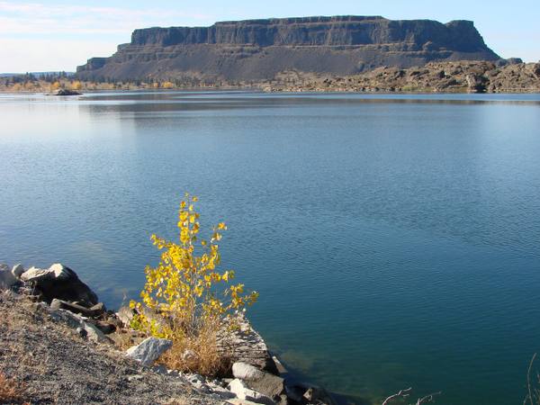
Steamboat Rock's flat-topped basalt mass rising across the still water of Banks Lake, a yellow-leaved shrub on the rocks in the foreground

Steamboat Rock

Electric City

An 800-foot basalt butte that geologists read as the remains of a waterfall twice the height of Dry Falls, now almost an island in a reservoir pumped up from the Columbia.

View details →

Natural Areas

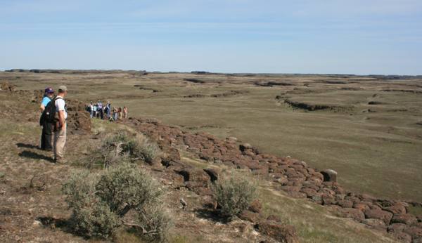
Hikers on a basalt rim looking out over the buttes and basins of the Drumheller Channels

Drumheller Channels

Othello

A maze of flood-cut buttes and basins south of Potholes Reservoir, filled with lakes the irrigation project never meant to make, and the cranes that came for them.

View details →
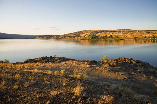
Soap Lake in low sun from its rocky south shore, the far bank lit gold above the calm water

Soap Lake

Soap Lake

A mineral lake at the foot of the Grand Coulee that drew health seekers by the thousand, and whose older name, Smokiam, the town declined to give back.

View details →

Historic Sites

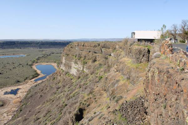
The Dry Falls visitor center perched on the rim of the basalt cliffs, the old falls' floor and its pothole lakes spreading below

Dry Falls Vista House

Coulee City

The viewpoint a Coulee City grocer talked the state into in 1925, with a stone Vista House on the rim from 1928 and a glass-walled interpretive center from 1966.

View details →
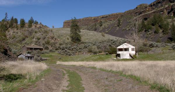
The Northrup homestead in its side canyon, a white frame house and outbuildings in the grass beneath basalt cliffs and scattered pines

Northrup Canyon

Electric City

A side canyon of the Grand Coulee with a forest in it, springs, a homestead orchard, and a killing over the orchard trees in 1903.

View details →

Towns & Gateways

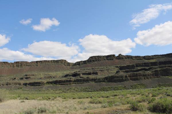
The layered basalt wall of the coulee above Lake Lenore, where the rock shelters are cut into the cliff, with sagebrush flats below

Lake Lenore Caves

Soap Lake

Shallow shelters in a coulee wall that people used for thousands of years, where the archaeologists who arrived in 1958 found that collectors had dug them over first.

View details →
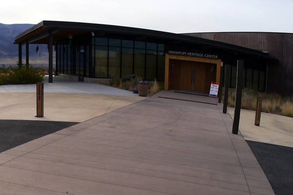
The entrance of the Wanapum Heritage Center, a long glass-and-timber building with its name over the doors and dry hills behind

Wanapum Heritage Center

Mattawa

The River People's own center beside Priest Rapids, where Smohalla taught the Dreamer faith and a band with no treaty and no reservation still lives at its ancestral village.

View details →

Industry & Mining

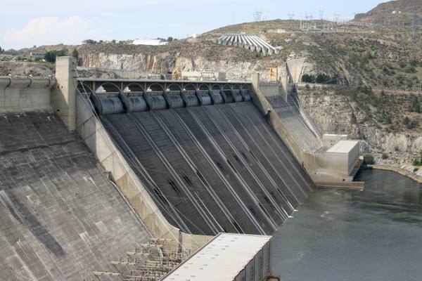
Looking down the spillway face of Grand Coulee Dam to the Columbia, the gates along its crest and the canyon wall behind

Grand Coulee Dam

Grand Coulee

An idea a newspaper buried on page seven in 1918, built as a Depression jobs program by twelve thousand workers, seventy-two of whom died on it.

View details →

Stories from Coulee Country

Culture

The Farm Built in a Day

To celebrate the first irrigation water from Grand Coulee in 1952, Moses Lake built a war veteran a farm in twenty-four hours, house, barn, crops and all. He sold it three years later.

5 min read

Coulee Country rewards the unhurried. Pick a base, fan out, and let the country between the headline stops surprise you.

← Explore more of Open Road Guide