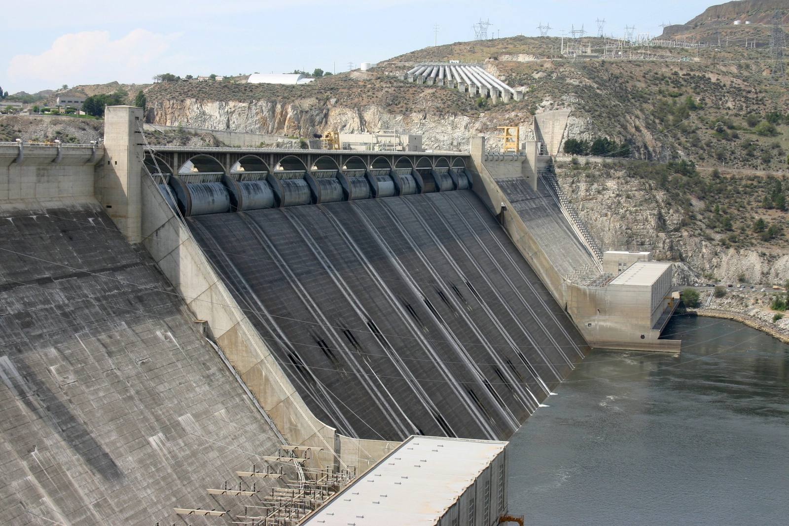
 David Brodbeck / CC BY 2.0 via Wikimedia Commons
The Story
The dam began as a secret. In the summer of 1917 an Ephrata lawyer, Billy Clapp, and a few other men asked the Grant County commissioners for a study of how high a dam would have to be to push the Columbia back into its ice-age channel, and they agreed to keep it quiet for fear of being laughed out of town. On July 18, 1918, Rufus Woods of the Wenatchee Daily World printed the idea on page seven; he later called it a joke to a certain extent and admitted surprise when it caught on. Fifteen years of fighting followed between Clapp's pumping plan and a Spokane scheme to bring water by gravity from Idaho.
The Depression settled it as a jobs program. Franklin Roosevelt funded a low dam first, and at the groundbreaking on July 16, 1933, the governor drove a survey stake held by Jim James, chief of the San Poil, one of the Colville tribes whose river villages the reservoir would drown. The contractors built Mason City for their workers and billed it as the first all-electric city. A conveyor belt two miles long hauled away the excavation while landslides kept pouring back in, and two thousand miles of pipe were laid inside the concrete to carry off the heat it gave off as it cured, which would otherwise have taken centuries.
More than twelve thousand people worked on it, at an average of 85 cents an hour. Seventy-two died, most in falls or struck by falling objects; despite the story, none is buried in the concrete. The first main generator came on in October 1941. In 2000 a study for the World Commission on Dams concluded that its planners had ignored nearly all of its social and environmental costs, and that it probably could not be built today.
Visitor Info
On the Map
Nearby
The closest stops worth working into your route
Historical markers nearby
Roadside plaques and monuments within a short detour