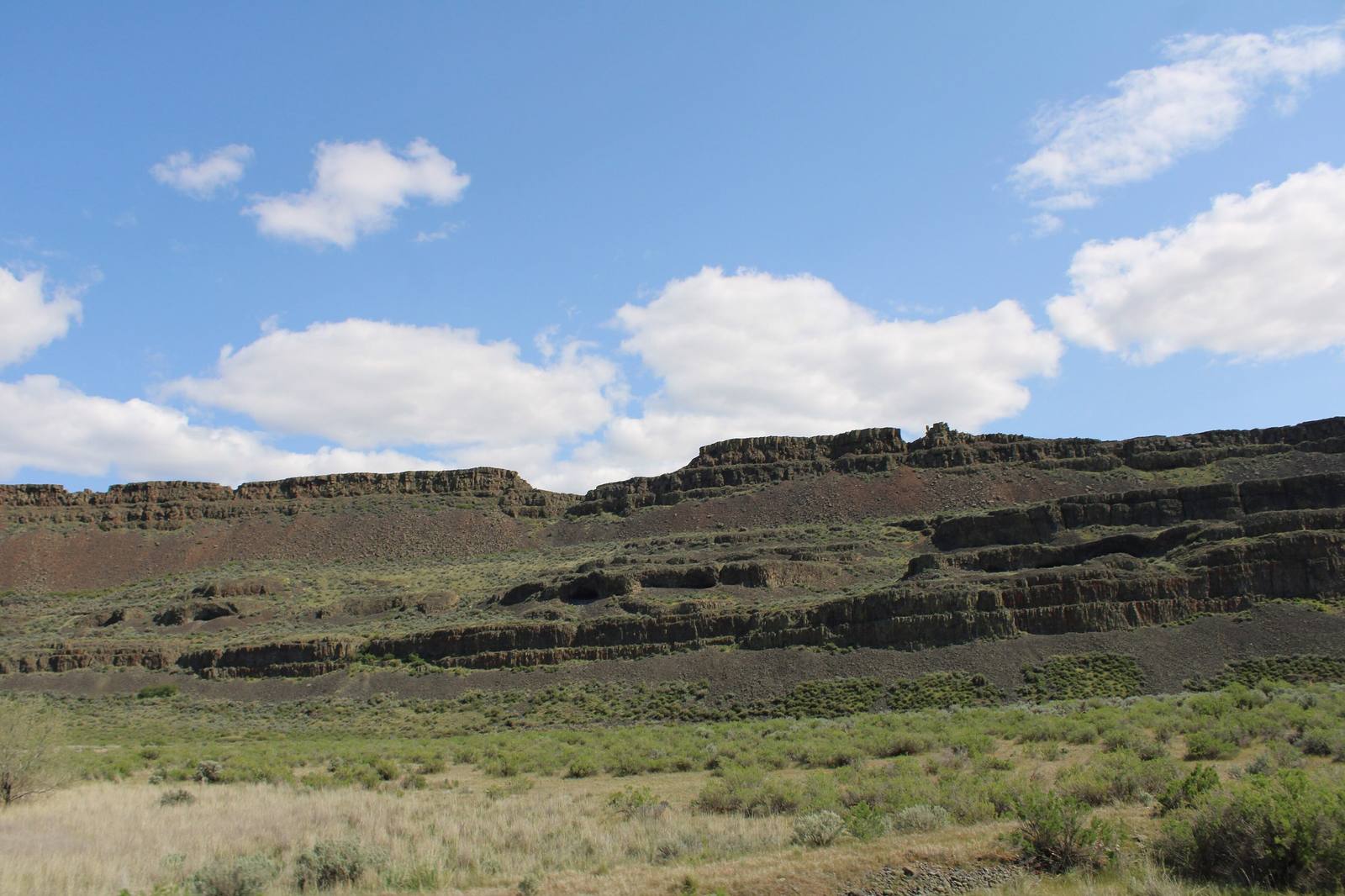
 Chris Light / CC BY-SA 4.0 via Wikimedia Commons
The Story
The Lake Lenore Caves are not really caves. They are rock shelters, scooped out of the coulee's east wall where the floods tore loose columns of basalt, and shallow enough that daylight reaches the back of every one. The talus below made them easy to climb to, and for thousands of years people moving through the Grand Coulee on their seasonal rounds camped and stored food in them, between the bitterroot and biscuitroot grounds on the coulee floor. This is the country of Interior Salish and Sahaptin peoples whose descendants are among the Confederated Tribes of the Colville Reservation and the Yakama Nation, and the shelters are still used for ceremonies.
Most of the record of that use was gone before anyone came to read it. From 1958 to 1961 crews from Washington State University and the University of Washington surveyed the coulee's shelters, paid for by the legislature at the urging of the state senator Nat Washington. Across the coulee they found pictographs, cordage, baskets, mats and stone points. At Lenore they found that more than a foot of the shelter floors had already been dug over by collectors, and the layers that would have dated each stay were turned over and lost.
In 1961 the legislature put $30,000 toward an interpretive site here, though most of it went to exhibits at Dry Falls. The road, parking lot and trail opened in 1968, and in 1972 the state bought the land from the federal government at two dollars and fifty cents an acre. The trail climbs a stair cut through the rock to a bench and runs along the foot of the cliff past the shelters.
Visitor Info
On the Map
Nearby
The closest stops worth working into your route
Historical markers nearby
Roadside plaques and monuments within a short detour