Home / Washington / Coulee Country / Northrup Canyon
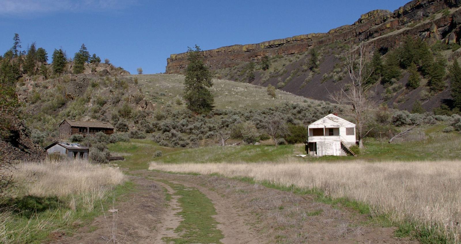
The Northrup homestead in its side canyon, a white frame house and outbuildings in the grass beneath basalt cliffs and scattered pinesMark Wagner / CC BY 4.0 via Wikimedia Commons
🏛️Historical

Northrup Canyon

Part ofCoulee Country

A side canyon of the Grand Coulee with a forest in it, springs, a homestead orchard, and a killing over the orchard trees in 1903.

Pioneer HistorySpringPaid EntryFallHiking
⏱
Duration
Two to four hours on the trail.
📅
Best Season
Spring and fall.

The Story

Northrup Canyon runs east from the upper Grand Coulee and does something nothing around it does: it holds a forest. Springs water a stand of Douglas fir and other trees uncommon on the dry plateau, and the same water drew homesteaders. John and Caty Northrup planted an irrigated orchard and garden here, and in 1891 John wrote that people came ten miles to see the flowers.

By 1894 John was ill, and the Northrups leased the place to Israel Sanford and moved away. John died in 1901. Caty came back to the area, and the lease went sour between them; Sanford accused her of digging up grown trees from the orchard and taking them. In July 1903 he shot and killed her. At trial he was acquitted as of unsound mind from his service in the Civil War.

Her son George and his wife, Joella, moved onto the ranch after the trial, mortgaged it to improve the irrigation, and lost it to the bank in 1905. George left for Idaho. In 1906 Joella came back with their six children, worked the orchard from dawn until dark, and paid off the debt within a year. She stayed until 1926, a midwife and herbalist, and the ranch became the place families from around the coulee came to picnic, camp, and put up fruit in the fall.

In 1976 the Bullitt Foundation bought out eight owners and gave the canyon to the state. A trail runs up the canyon to Northrup Lake.

Visitor Info

⏱
Time Needed
Two to four hours on the trail.
📅
Best Season
Spring and fall.
🛣️
Highway
SR-155

On the Map

Nearby

The closest stops worth working into your route

geological2.4 mi away
Steamboat Rock
An 800-foot basalt butte that geologists read as the remains of a waterfall twice the height of Dry Falls, now almost an island in a reservoir pumped up from the Columbia.
industrial7.6 mi away
Grand Coulee Dam
An idea a newspaper buried on page seven in 1918, built as a Depression jobs program by twelve thousand workers, seventy-two of whom died on it.
historical21 mi away
Chief Joseph's Grave
The Nez Perce cemetery at Nespelem, on the Colville Reservation, where Hin-mah-too-yah-lat-kekt was buried in 1904 and buried again under a historical society's marble shaft in 1905.
historical22 mi away
Dry Falls Vista House
The viewpoint a Coulee City grocer talked the state into in 1925, with a stone Vista House on the rim from 1928 and a glass-walled interpretive center from 1966.
cultural31 mi away
Lake Lenore Caves
Shallow shelters in a coulee wall that people used for thousands of years, where the archaeologists who arrived in 1958 found that collectors had dug them over first.
historical36 mi away
Fort Spokane
An army post set down in 1880 across the river from the line President Hayes drew for the Spokane Reservation the next winter, and emptied for the war with Spain in 1898.

Historical markers nearby

Roadside plaques and monuments within a short detour

Marker22 mi away
Story of Dry Falls