Home / Washington / Coulee Country / Drumheller Channels
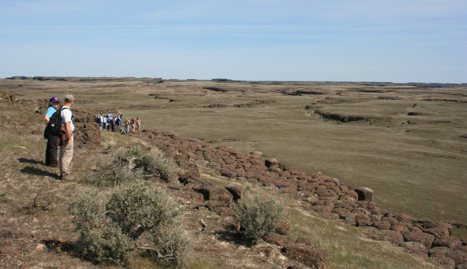
Hikers on a basalt rim looking out over the buttes and basins of the Drumheller ChannelsWilliamborg / public domain via Wikimedia Commons
🌲Natural

Drumheller Channels

Part ofCoulee Country

A maze of flood-cut buttes and basins south of Potholes Reservoir, filled with lakes the irrigation project never meant to make, and the cranes that came for them.

SpringFree
⏱
Duration
Two hours to a day.
📅
Best Season
March and April for cranes; spring for birds generally.

The Story

The Drumheller Channels are what the floods did where they could not run straight. Forced around the nose of the Frenchman Hills, the water braided through the basalt into hundreds of steep-sided buttes and basins, with some of the finest columnar basalt anywhere, and in 1986 the National Park Service made the channels a National Natural Landmark.

For most of the time since the floods, the basins were dry. The water in them now is leakage. The Columbia Basin Project sent its first irrigation water in 1951, and almost at once canals, pipes and fields began to leak; the water table rose, and lakes, ponds and marshes appeared in low ground. O'Sullivan Dam, an earthfill embankment more than three and a half miles long, holds Potholes Reservoir along the channels' north side, and the potholes south of it filled from below and took the name Seep Lakes. By 1980 the basin had at least twenty times the wetland it had before the project.

The Columbia National Wildlife Refuge, set aside in 1944, takes in the channels south of the reservoir. In the springs of 1950 and 1951 a graduate student hired to count birds where the reservoir would go saw three sandhill cranes. By the 2000s biologists put the spring stopover at around 25,000, most of the Pacific Coast population, and Othello started a crane festival in 1998. In 2003 the Interior Secretary acknowledged that more efficient irrigation could dry the refuge's wetlands up.

Visitor Info

⏱
Time Needed
Two hours to a day.
📅
Best Season
March and April for cranes; spring for birds generally.
🛣️
Highway
SR-17

On the Map

Nearby

The closest stops worth working into your route

natural17 mi away
White Bluffs and the Hanford Reach
Fifty-one miles of the Columbia still running free below pale cliffs, kept undammed by the same secrecy that emptied its farm towns in 1943.
industrial25 mi away
B Reactor
The first full-scale nuclear reactor started in September 1944 and died within a day, and was saved by spare fuel channels DuPont's engineers had insisted on.
cultural33 mi away
Wanapum Heritage Center
The River People's own center beside Priest Rapids, where Smohalla taught the Dreamer faith and a band with no treaty and no reservation still lives at its ancestral village.
geological34 mi away
Ginkgo Petrified Forest
A forest of stone logs that never grew together, found by a music teacher and his students in 1932 and left where it lay under cages the CCC built.
natural35 mi away
Soap Lake
A mineral lake at the foot of the Grand Coulee that drew health seekers by the thousand, and whose older name, Smokiam, the town declined to give back.
cultural43 mi away
Lake Lenore Caves
Shallow shelters in a coulee wall that people used for thousands of years, where the archaeologists who arrived in 1958 found that collectors had dug them over first.