 Steven Pavlov / CC BY-SA 3.0 via Wikimedia Commons
The Story
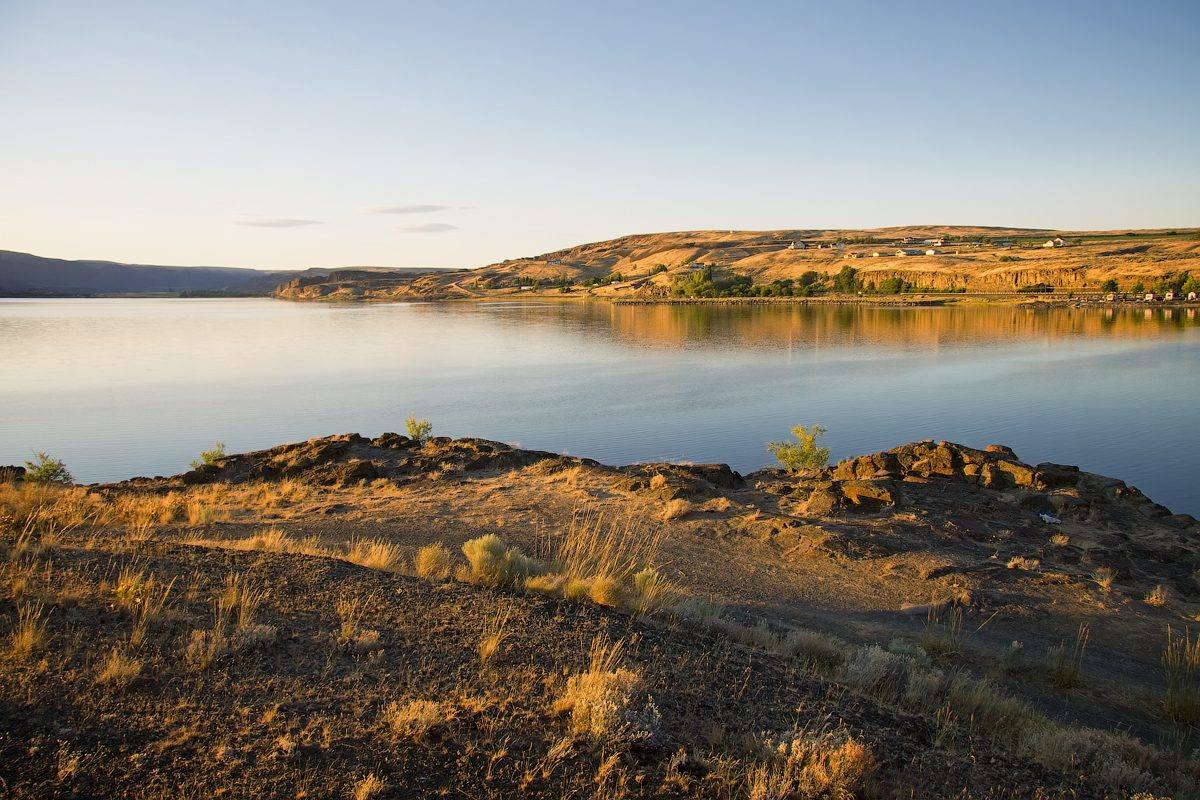
Soap Lake earns its name on windy days, when the waves whip up foam like suds, and in the water itself, which is slick on the skin and strongly alkaline, at a pH near 10. Salts leached from the basalt collect here at the south end of the coulee's chain of lakes. The lake is also layered: by the estimate of researchers from Washington State University, its dense, salty bottom water has not mixed with the top for about two thousand years.
People bathed here long before the town. The lake's Native name is Smokiam, and Indigenous people dug roots and built steam huts along the shore. The first sanitarium opened in 1905 and the town incorporated in 1919. Hotels and clinics promised cures for everything from rheumatism to venereal disease, and bathers plastered themselves in the black shoreline mud. The Siloam Sanitarium, a hundred rooms on the hill, burned in 1921.
The trade peaked after the First World War, when veterans with Buerger's disease, a closing of the small arteries of the hands and feet that can end in gangrene, came to soak; many believed the water arrested it. Buerger's is driven by tobacco, and stopping smoking is the one treatment shown to halt it. In 1938 the federal government authorized a veterans' hospital here for the disease. Sulfa drugs and penicillin, and fresh water leaking in that diluted the lake, ended the heyday.
In 2012 a proposal to rename the lake Smokiam, leaving the town its name, went before the state names committee and failed against opposition from residents and the city council.
Visitor Info
On the Map
Nearby
The closest stops worth working into your route
Historical markers nearby
Roadside plaques and monuments within a short detour