Home / New Mexico / Chaco & the Four Corners / El Morro National Monument
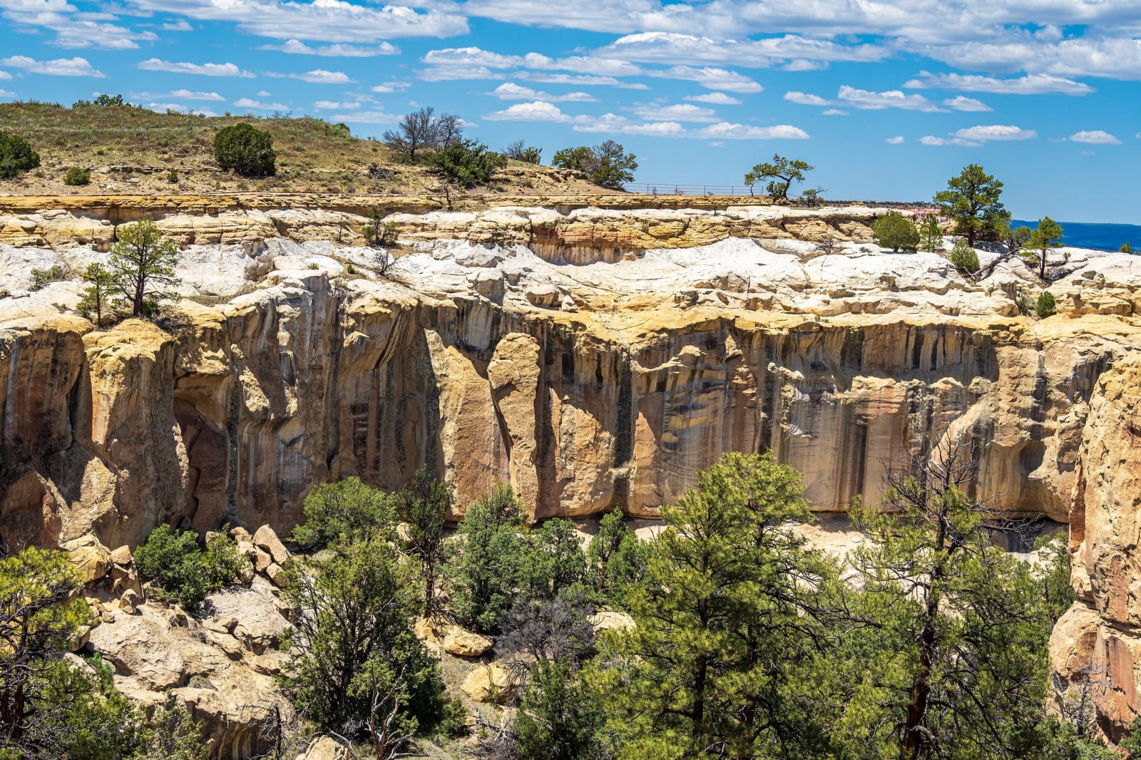
Pale sandstone cliffs of the box canyon at El Morro, seen from the mesa top among pinyon and juniperdconvertini / CC BY-SA 2.0 via Wikimedia Commons
🏛️Historical

El Morro National Monument

Part ofChaco & the Four Corners

A sandstone headland with a pool at its foot, where Puebloan people, Spanish governors and American soldiers all left their marks, until carving became illegal in 1906.

Off the Beaten PathPioneer HistoryNative American HeritageFreeHiking
⏱
Duration
One to two hours.
🎟
Admission
Free.
📅
Best Season
Spring through fall.
💡
Fun Fact
Oñate's 1605 inscription claims the discovery of the South Sea. He had reached the Gulf of California.

The Story

El Morro, the headland, rises about two hundred feet out of the grassland east of Zuni, and at its foot, in a shaded pocket of the cliff, rain and snowmelt gather in a pool that does not dry up. For people traveling between Acoma and Zuni it was the one sure water for many miles.

The half-mile Inscription Trail follows the base of the cliff past petroglyphs and hundreds of carved names. The oldest dated one is Juan de Oñate's, cut on April 16, 1605, as he returned from his expedition west. It records his passage from what it calls the discovery of the South Sea; what he had reached was the head of the Gulf of California. Spanish travelers after him used his formula, pasó por aquí, passed by here, followed by a name and a date. In September 1849 Lieutenant James Simpson and the artist Richard Kern spent two days copying the inscriptions and carved their own, the first by American officials. A few years later Edward Beale's wagon-road survey came by with its army camels.

By 1906 the rock was crowded with names cut over older ones. When Theodore Roosevelt proclaimed it a national monument that December, carving became illegal, though vandals have damaged inscriptions since.

A longer loop climbs onto the top of the mesa to Atsinna, a pueblo of some 875 rooms built around 1275 by ancestors of the Zuni people, and partly excavated. Its name is usually translated as writing on rock. The full loop is about two miles, with steep steps.

Visitor Info

⏱
Time Needed
One to two hours.
🎟
Admission
Free.
📅
Best Season
Spring through fall.
🛣️
Highway
NM-53

On the Map

Nearby

The closest stops worth working into your route

geological18 mi away
El Malpais National Monument
The badlands south of Grants: lava 3,900 years old from McCartys Crater, a tube system at least seventeen miles long, and an old trail across four lava flows between Zuni and Acoma.
cultural44 mi away
Acoma Sky City
Haak'u, the village on a sandstone mesa west of Albuquerque, seen only on the pueblo's own tours, with a mission whose roof beams were carried on foot from Mount Taylor.
cultural59 mi away
Window Rock
Tségháhoodzání — the sacred arch, and the capital of the Diné
historical73 mi away
Chaco Culture National Historical Park
The great houses of Chaco Canyon at the end of thirteen miles of washboard dirt, an International Dark Sky Park in the middle of one of the country's busiest gas fields.
natural77 mi away
Petrified Forest National Park
Two hundred million years turned to stone — and a Route 66 ghost
attraction78 mi away
Very Large Array
Twenty-seven radio dishes, each 82 feet across and 230 tons, spread in a Y across an Ice Age lakebed on the Plains of San Agustin and moved on rails to change how sharply they see.