Home / California / The Redwood Coast / Sue-meg State Park
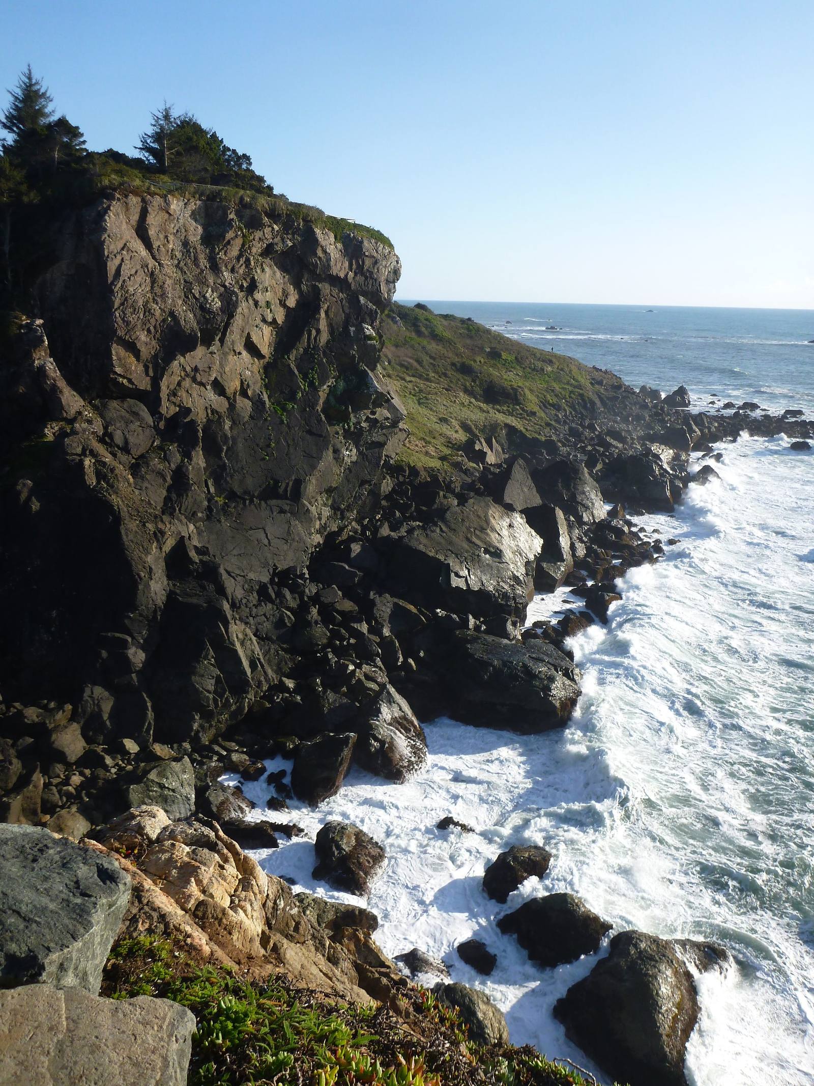
A steep rock headland at Sue-meg State Park topped with trees, falling to boulders and white surf at its foot, with the ocean running north under a clear sky.Spifferella / CC BY-SA 2.0 via Wikimedia Commons
🏛️Historical

Sue-meg State Park

Part ofThe Redwood Coast
On this driveUS-101: The Redwood Coast

A Yurok place that carried a settler's name for ninety years and took its own back in 2021.

Native American Heritage
⏱
Duration
Two hours to half a day.
🎟
Admission
Day-use fee per vehicle.
📅
Best Season
Any season; winter and spring for whales off the headlands.

The Story

This forested headland north of Trinidad has always been Sue-meg to the Yurok people, many of whom have family ties to the village here reaching back beyond memory. For most of a century the state called it something else. When it acquired the land in 1930 it kept the name already in use, Patrick's Point, after Patrick Beegan, an Irish immigrant who briefly claimed the point in the nineteenth century and who, according to the state parks department, was accused of murdering Native people.

In 1990 Yurok craftspeople and the park built Sumêg Village together: redwood plank family houses, sweathouses, a dance house and changing houses. It is not a stage set. Yurok families have held Brush Dances here, and the village is used for ceremony and for teaching.

In January 2021 the Yurok Tribe asked the state to restore the name, and on September 30, 2021, the State Park and Recreation Commission voted unanimously to rename the park Sue-meg. It was the first park renamed under California's effort to re-examine the names on its public places.

The village is a working cultural site; follow the guidance posted there. The rest of the park is rock headlands, Agate Beach below the bluffs, and short forest trails.

Visitor Info

⏱
Time Needed
Two hours to half a day.
🎟
Admission
Day-use fee per vehicle.
📅
Best Season
Any season; winter and spring for whales off the headlands.
🛣️
Highway
Patricks Point Drive, off US-101 north of Trinidad

On the Map

Nearby

The closest stops worth working into your route

natural8.8 mi away
Tall Trees Grove
Where a 1963 measurement found the world's tallest known tree on timber company land, and helped decide where a national park would go.
natural19 mi away
Gold Bluffs Beach and Fern Canyon
A beach that set off a gold stampede in 1850, and the fern-walled slot a creek has cut through the same bluffs.
natural19 mi away
Arcata Marsh and Wildlife Sanctuary
A wildlife sanctuary that is also the town's sewage works, because Arcata turned down the state's plan.
historical23 mi away
Carson Mansion
The house Eureka's biggest lumberman began in 1884 on the bluff above his own mill, and the story told about why.
historical42 mi away
Crescent City Harbor
The harbor the Pacific aims its tsunamis at, rebuilt after 2011 to ride the next one out.
natural45 mi away
Stout Memorial Grove
A lumberman's memorial made of the kind of forest his company cut, kept open underneath by the river's floods.

Historical markers nearby

Roadside plaques and monuments within a short detour

Marker5.4 mi away
Old Indian Village of Tsurai
Trinidad
Marker5.4 mi away
Town of Trinidad
Trinidad
Marker5.8 mi away
Trinidad Head
Trinidad
Marker17 mi away
Camp Curtis
Arcata
Marker19 mi away
Jacoby Building
Arcata
Marker19 mi away
Arcata and Mad River Rail Road Company
Blue Lake