 Robert Campbell / CC BY-SA 3.0 via Wikimedia Commons
The Story
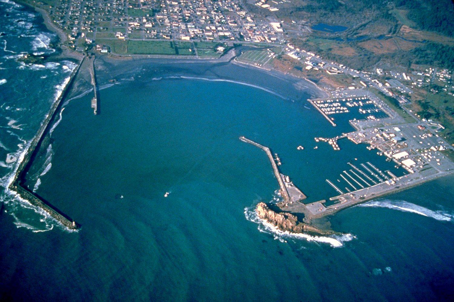
Crescent City sits where the shape of the sea floor and the curve of its own bay gather tsunami energy and focus it on the harbor. Since a tide gauge went into the boat basin in 1934, the port has recorded thirty-four tsunamis, large and small, and it usually takes the highest water on the West Coast.
On March 11, 2011, the surge from the earthquake off Japan arrived ten hours later as a series of rushes in and out of the inner boat basin. The highest reached about eight feet, with currents estimated at twenty-two feet a second. Docks lifted off their pilings and tore loose. Eleven boats sank, forty-seven more were damaged, and two-thirds of the docks were destroyed, while the harbor was still repairing the damage from a smaller tsunami in 2006.
Rather than rebuild what had failed, the harbor district rebuilt for the next one. The inner basin went back with 244 steel pilings thirty inches across, driven into bedrock and standing high enough above the water for docks to rise and fall with a surge instead of floating off. It was designed for the size of tsunami expected about once in fifty years, the first harbor in the country built to that standard. Its engineer's own description was resistant, not proof.
The commercial fleet still works from the rebuilt docks.
Visitor Info
On the Map
Nearby
The closest stops worth working into your route
Historical markers nearby
Roadside plaques and monuments within a short detour