 NPS / public domain via Wikimedia Commons
The Story
The Spokane were never party to the 1855 treaties. Their reservation came by executive order on January 18, 1881, its line drawn down the Spokane River along the south bank to the Columbia, and by the tribe's own count it left them about 156,000 acres of a country of more than three million. The soldiers had arrived the autumn before. Lieutenant Colonel Henry Merriam brought four companies of the Second Infantry here as Camp Spokane after a post near Lake Chelan, placed in 1878 to watch Chief Moses's people, proved too hard to supply. Renamed Fort Spokane in 1882, it stood on the south bank above the confluence, the Spokane Reservation across one river, the Colville across the other, and the new farm towns around Spokane Falls and Cheney at its back.
When the war with Spain began in 1898 the garrison was withdrawn and the post turned over to the Colville Indian Agency, which ran a boarding school here for children from across the river from 1900 to 1907, by the park service's count, and then a tuberculosis hospital until 1929, when the government left. Four of the original buildings were standing when the National Park Service took the site in 1960.
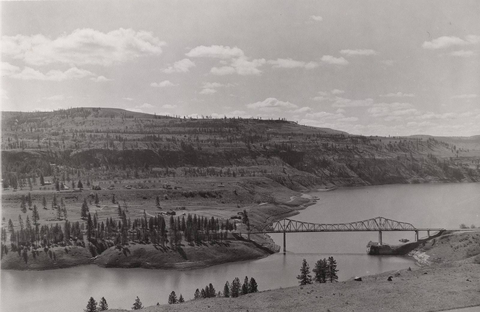
The 1892 brick guardhouse is the summer visitor center, its exhibits setting the boarding school's photographs and first-hand accounts beside the soldiers' uniforms and weapons; the long red quartermaster's stable still stands, and paths cross the old grounds year-round. Below the bluff, where the Spokane meets the Columbia, the tribes fished the river's rapids for thousands of years before the water of Lake Roosevelt covered them.
Visitor Info
On the Map
Nearby
The closest stops worth working into your route