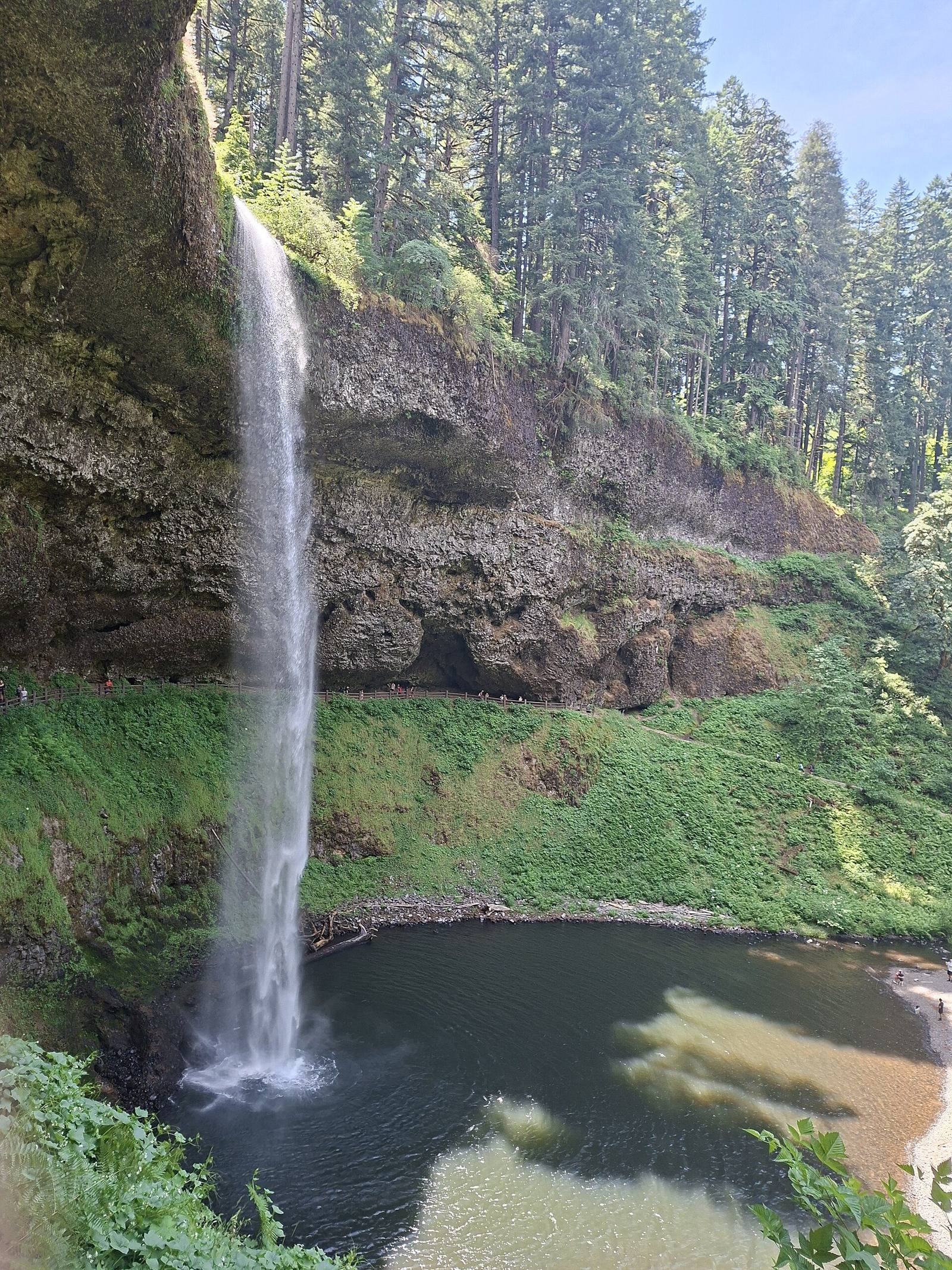
 KanaArima / CC BY-SA 3.0 via Wikimedia Commons
The Story
Silver Creek's two forks drop through basalt canyons in the foothills east of Salem in a run of ten waterfalls, four of which the trail passes behind, on land that was Kalapuya and Molalla country before the logging era. Late in the 1800s a lumber town, Silver Falls City, grew up at the top of South Falls; as the timber was cut the town faded, and the canyon was left logged and burned over.
What was left was the waterfall, and its owner, D. E. Geiser, made it a show. He charged a dime admission, and in the 1920s he drew crowds by pushing old cars over the 177-foot drop of South Falls. In 1928 a former logger known as Daredevil Al Faussett went over it in a canoe and was badly hurt, and local legend has his partner leaving town with the takings while he lay in the hospital. Meanwhile June Drake, a photographer from Silverton, had spent years photographing the falls and campaigning to protect them. Land was bought starting in 1931, and the park was dedicated in 1933.
The federal government then bought thousands of surrounding acres as a recreational demonstration area. The Civilian Conservation Corps built the trails, the stone bridges and the timber-and-stone South Falls Lodge and replanted the cut-over slopes, and by 1949 the federal land had been transferred to the state, making Silver Falls the largest state park in Oregon. The Trail of Ten Falls is a loop of about seven miles; the short walk down from the South Falls lot goes behind South Falls, and you will get wet.
Visitor Info
On the Map
Nearby
The closest stops worth working into your route
Historical markers nearby
Roadside plaques and monuments within a short detour