Home / Oregon / Portland & the Willamette Valley / Champoeg
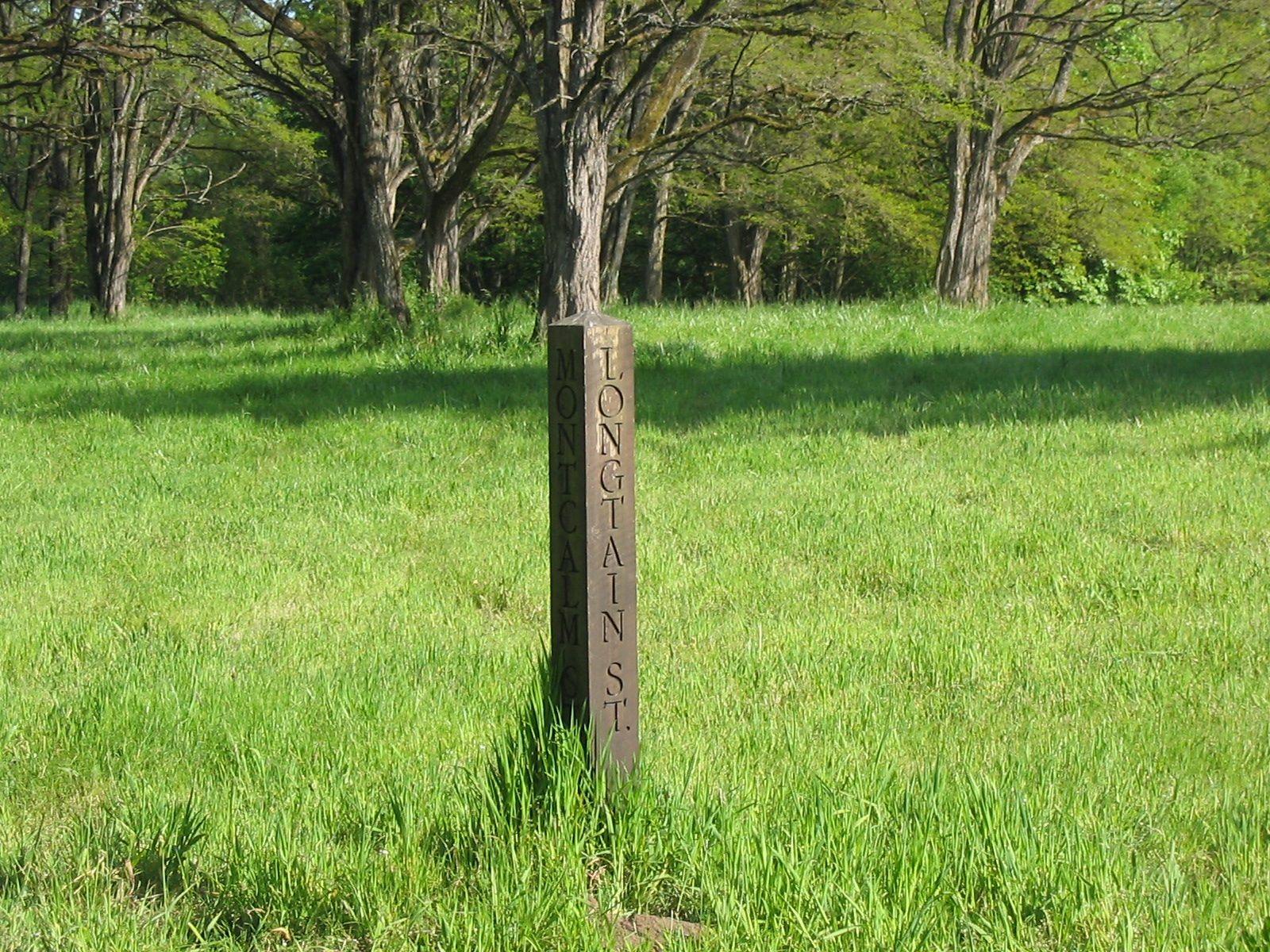
A wooden corner post lettered Longtain St. and Montcalm St., standing alone in the meadow where Champoeg's streets once crossedClipdude / CC BY-SA 2.0 via Wikimedia Commons
🏛️Historical

Champoeg

Part ofPortland & the Willamette Valley

The river-bend meadow where settlers voted for a government in 1843, and where the Willamette took the entire town but one warehouse eighteen years later.

Pioneer History
⏱
Duration
An hour for the townsite and visitor center.
📅
Best Season
Spring through fall.

The Story

Champoeg sits on a bend of the Willamette at the north end of French Prairie, ground that was Kalapuya country before retired fur-company men and their families began farming it. Trails from north and south met at the river here, and by the 1840s there was a landing, a Hudson's Bay Company warehouse and a scattering of houses. On May 2, 1843, settlers met on the meadow and voted to organize a provisional government.

Champoeg grew into a town, with streets laid out and lots sold, and in December 1861 it stopped being one. A warm Chinook wind melted the snow in the Cascades on top of weeks of rain, the Willamette rose some fifty-five feet above its summer level, and fast water swept over the townsite and carried off everything except the Hudson's Bay warehouse. Afterward, one witness wrote, there was nothing to see but drifting sand. The flood of 1890 came nearly as high. The town was never rebuilt.

The state heritage area keeps the empty townsite, its street grid still faintly visible in the grass, along with a visitor center and a monument on the site of the 1843 meeting. The ground is an archaeological district, and digs here have turned up the only largely intact early homesite yet found on French Prairie.

Visitor Info

⏱
Time Needed
An hour for the townsite and visitor center.
📅
Best Season
Spring through fall.
🛣️
Highway
OR-219

On the Map

Nearby

The closest stops worth working into your route

natural14 mi away
Willamette Falls
A horseshoe of basalt across the Willamette, ringed by a century of mills, that is still one of the last places in the Columbia basin where tribes gather lamprey by hand.
historical16 mi away
McLoughlin House
The retirement house of the Hudson's Bay man who supplied the Oregon Trail's starving arrivals, saved from a paper mill's lot in 1909 and hauled up the bluff to a park he had given the town.
historical26 mi away
Vanport
Briefly Oregon's second-largest city, built in about 110 days for Kaiser's shipyard workers, washed away in an afternoon in 1948, and later renamed out of existence.
natural28 mi away
Silver Falls State Park
Ten waterfalls in a logged-over canyon whose owner once charged a dime admission and pushed junk cars off the edge for the crowd, until a photographer got it made a park.
architectural37 mi away
Vista House at Crown Point
A rest stop on a basalt point 733 feet above the Columbia, budgeted at $12,000, finished for about $100,000, and mocked for years as Oregon's most expensive outhouse.
natural44 mi away
Multnomah Falls
A 620-foot double waterfall whose 1925 stone lodge survived because firefighters kept it soaked while the forest burned around it in September 2017.

Historical markers nearby

Roadside plaques and monuments within a short detour

Marker0.8 mi away
Champoeg
Marker2.7 mi away
Willamette Post
Marker5.7 mi away
Boone's Ferry
Marker6.3 mi away
Boone's Landing
Marker6.7 mi away
Aurora
Marker9.4 mi away
Dayton Blockhouse