 Bureau of Land Management / public domain via Wikimedia Commons
The Story
Most of the Snake River Plain was built by lava that poured out and spread. The Menan Buttes were built by lava that met water. Near the end of the last ice age, basalt magma rose here into the waterlogged ground of the Snake River, either the river itself or the shallow groundwater beneath it, and flashed that water to steam. The blasts tore the magma into fine fragments that chilled at once into volcanic glass, and the fragments rained back around the vents. Two cones of it stand about 800 feet above the fields north of Idaho Falls, with four smaller ones strung along the same north-northwest line.
Geologists call them tuff cones, and these are among the largest in the world; North Menan Butte holds slightly more rock than Diamond Head in Honolulu. The Bureau of Land Management counts them as the only volcanoes in the country to have erupted through fresh water. The tuff is fine and thinly bedded, and some layers still show the dents where heavier blocks landed on the soft ash.
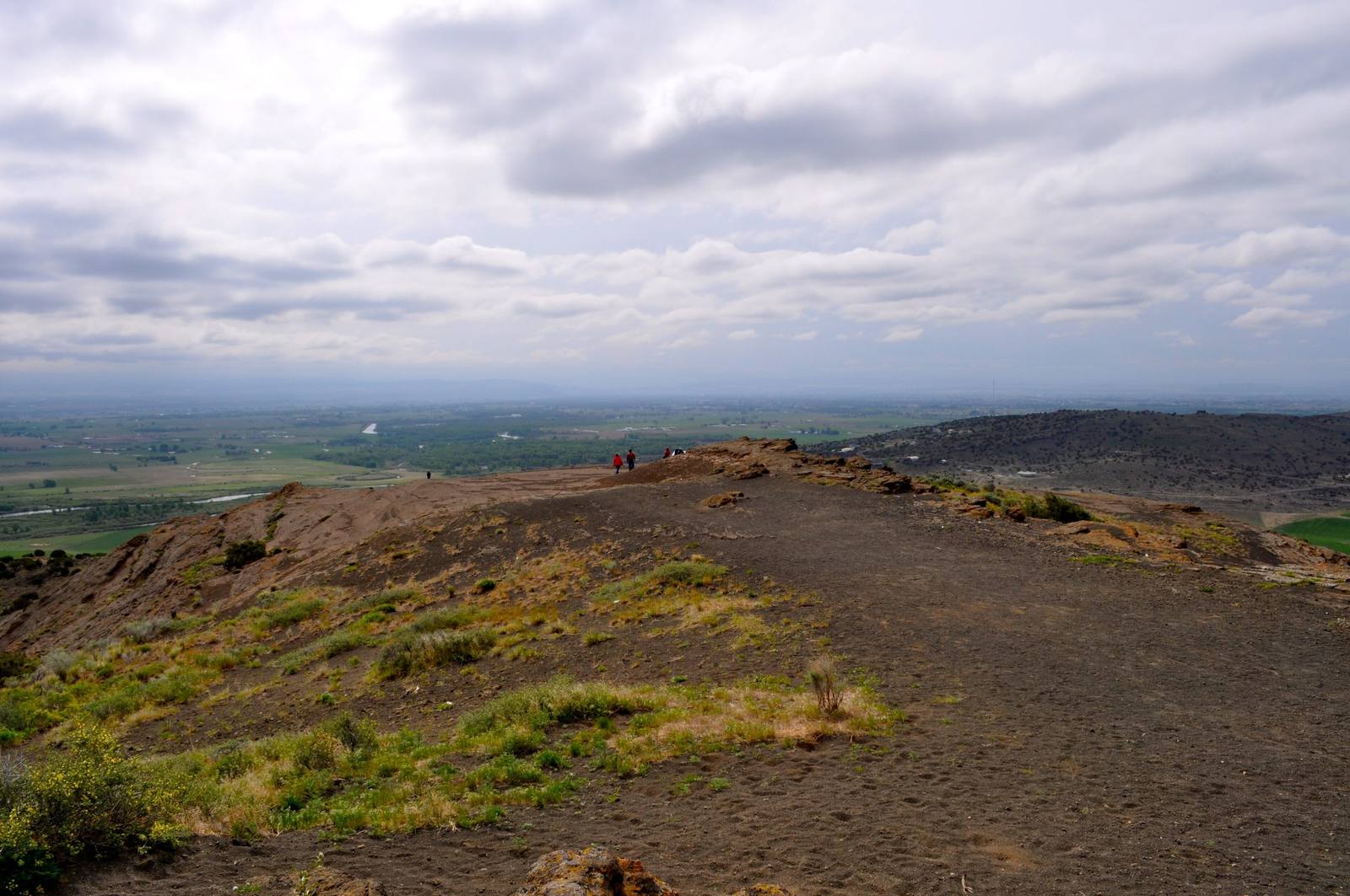
South Menan Butte is private and closed. North Menan Butte is public land, a National Natural Landmark and a research natural area, open only to non-motorized use. A trail from the parking area on Twin Butte Road climbs to the rim of the crater, about 3,000 feet across, and follows it around; the loop from the car runs about three miles, with a shortcut through the bowl.
From the rim the plain lays out its plumbing. The Henrys Fork and the South Fork meet just south of the buttes to make the Snake, and the water that built these cones is still running past their feet. Carry water, and watch the rocks for rattlesnakes.
Visitor Info
On the Map
Nearby
The closest stops worth working into your route
Historical markers nearby
Roadside plaques and monuments within a short detour