Home / Idaho / The Sawtooths & the Salmon River / Sacajawea Interpretive, Cultural and Educational Center
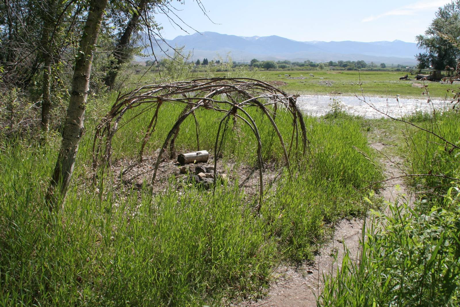
A bent-willow frame beside a trail at the Sacajawea Center, with the Lemhi Valley and mountains beyondAntonia Hedrick, BLM / public domain via Wikimedia Commons
🎭Cultural

Sacajawea Interpretive, Cultural and Educational Center

Part ofThe Sawtooths & the Salmon River
On this driveThe Sawtooths and the Salmon: Ketchum to Salmon

In the valley where she was born, a center that spells her name the way many of her people say it.

Native American Heritage
⏱
Duration
An hour for the center and the river trail.
📅
Best Season
The grounds and trail are open year round; the interpretive center keeps seasonal hours.

The Story

She was born in this valley around 1788, an Agaidika Shoshone girl of the Salmon Eaters, and taken by a Hidatsa raiding party when she was about twelve. When she came back in August 1805 she came with Lewis and Clark, and found that her brother Cameahwait led her people. Nearly everything else about her is argued over, starting with her name.

The expedition's journals spell it seven different ways, all with a hard g, and Lewis wrote that it meant bird woman, a Hidatsa name from her captivity. A spelling with a j first appeared in the 1814 edition of the journals; the Park Service says its editor made the change for no known reason. Many Shoshone hold to that spelling anyway, and say the name is Shoshone and means something like boat launcher. The Park Service and the dollar coin use Sacagawea. In the Lemhi Valley, where she was born, the signs say Sacajawea.

The center that carries that spelling sits on seventy-one acres along the Lemhi River at the east edge of Salmon, with the Beaverhead Mountains of the Continental Divide behind it. The city of Salmon owns it and runs it with partners including the Shoshone-Bannock Tribes, and its land acknowledgment names this valley as the homeland of the Agaidika, from which they were forcibly removed in 1907. Inside, exhibits cover her life, the expedition and the Agaidika side of the story, with their beadwork and crafts. Outside, a mile of interpretive trail runs through the fields by the river, past a bronze of her and one of Seaman, Lewis's Newfoundland.

Visitor Info

⏱
Time Needed
An hour for the center and the river trail.
📅
Best Season
The grounds and trail are open year round; the interpretive center keeps seasonal hours.
🛣️
Highway
SR-28

On the Map

Nearby

The closest stops worth working into your route

historical24 mi away
Lemhi Pass
Lewis walked up a Shoshone road looking for the Pacific and saw only more mountains.
industrial69 mi away
Yankee Fork Gold Dredge
A 988-ton floating gold dredge worked five miles of valley for twelve years, and spent more than it found.
geological69 mi away
Borah Peak Earthquake Fault Scarp
In 1983 the valley floor dropped seven feet in a second, and a truckload of hunters dropped with it.
natural99 mi away
Galena Summit Overlook
The Salmon River's first miles, seen from an overlook named for the couple who helped keep a mine out of the view.
natural103 mi away
DeVoto Memorial Cedar Grove
Thousand-year-old cedars on the Lochsa headwaters, where the editor of Lewis and Clark's journals asked to be scattered.
historical111 mi away
McCall Smokejumper Base
Where conscientious objectors in the Second World War parachuted onto forest fires, and were shunned in camp for it.

Historical markers nearby

Roadside plaques and monuments within a short detour

Marker5.5 mi away
Historic Lemhi Co.
Marker5.5 mi away
Fort Bonneville
Marker12 mi away
Sacajawea
Marker12 mi away
Lewis and Clark
Marker14 mi away
MacDonald's Battle
Marker16 mi away
Fort Lemhi