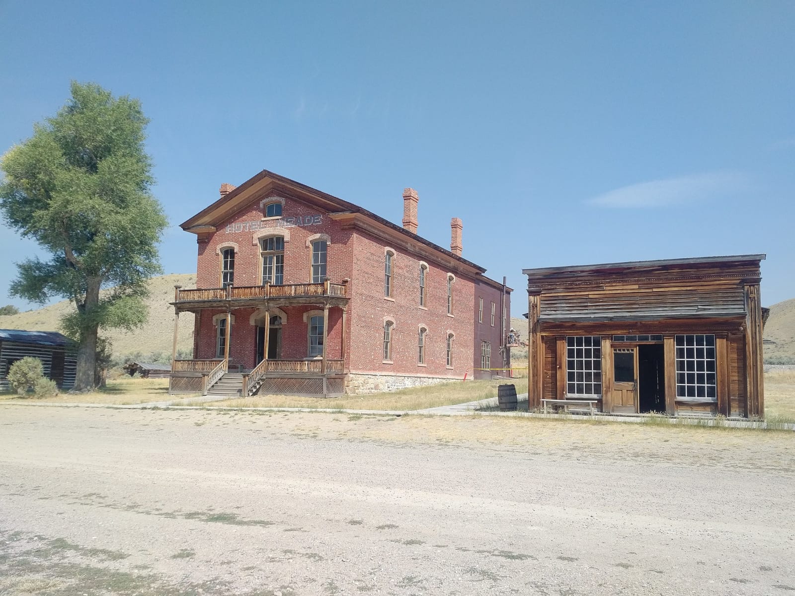
 Drown Soda / CC BY-SA 4.0 via Wikimedia Commons
The Story
Bannack did not die when the miners left for Alder Gulch. It shrank, then came back in the 1870s as the seat of Beaverhead County, and the best buildings on the street come from that second life: the Masonic hall that doubled as the schoolhouse, built in 1874; the Methodist church of 1877; and, in 1875, a two-storey brick courthouse that cost the county $14,000. In August 1877, with the Nimiipuu passing nearby after the Big Hole, the townspeople fortified it as a refuge for the women and children.
Then the railroad reached Dillon in 1880, and in 1881 the county seat followed it there. The courthouse sat empty until about 1890, when the Meade family remodeled it into the Hotel Meade, which opened and closed with the fortunes of the mines until it shut for good in the 1940s. Mining itself hung on. A cyanide mill went up in 1914 and ran off and on for decades. The people were what drained away.
By the 1950s a coalition of local groups, the county museum association, a mining association, the Daughters of the American Revolution chapter and the college in Dillon among them, had bought much of the town and given it to the state, which took it on as a park in 1954. A few residents stayed until the early 1970s. Bannack was made a National Historic Landmark in 1961, and many of its buildings stand open to walk through, the hotel's lobby staircase among them. It is about twenty miles southwest of Dillon by MT-278 and a gravel spur, with two primitive campgrounds along Grasshopper Creek.
Visitor Info
On the Map
Nearby
The closest stops worth working into your route
Historical markers nearby
Roadside plaques and monuments within a short detour