Home / Idaho / The Sawtooths & the Salmon River / Lemhi Pass
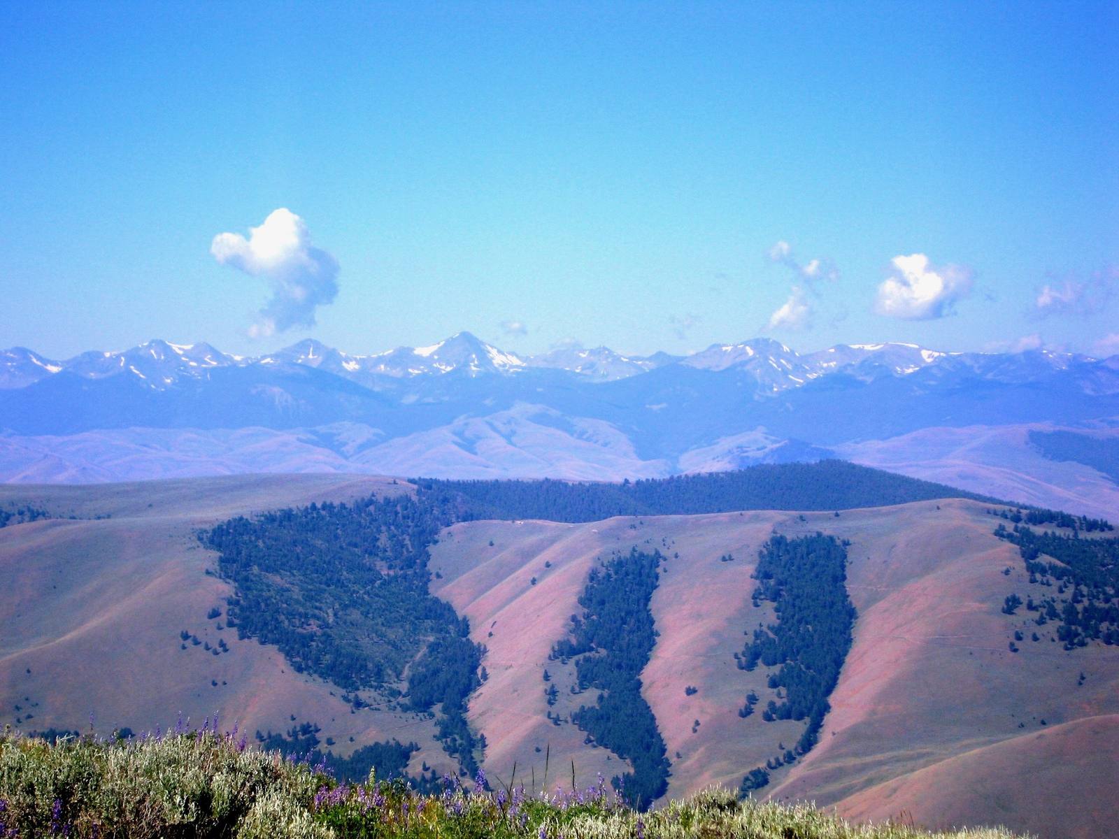
Grassy ridges streaked with timber at Lemhi Pass, a distant snowy range along the horizonEricshawwhite / CC BY-SA 4.0 via Wikimedia Commons
🏛️Historical

Lemhi Pass

Part ofThe Sawtooths & the Salmon River

Lewis walked up a Shoshone road looking for the Pacific and saw only more mountains.

Off the Beaten PathScenic DrivingNative American Heritage
⏱
Duration
Half a day from Salmon, with an hour at the top.
📅
Best Season
Summer and early fall; snow closes the road the rest of the year.

The Story

The road over Lemhi Pass was old long before Lewis found it. When the Agaidika acquired horses in the eighteenth century, this became their way between the parts of their homeland on either side of the divide. Lewis called it a large and plain Indian road.

He came up it on August 12, 1805, with George Drouillard, John Shields and Hugh McNeal, ahead of the main party, looking for the Shoshone and their horses. Two miles below the top, McNeal had stood with a foot on either side of the Missouri's last trickle and thanked God he had lived to bestride it; near the summit Lewis drank from what he called the river's most distant fountain. It was not, and the true source was identified in 1895, some ninety miles away. Then they walked to the top of the divide. Lewis had hoped to look down on a short portage to a river flowing to the Pacific. What he saw instead were immense ranges of high mountains to the west, their tops still carrying snow. Three-quarters of a mile down the western slope he tasted the water of the Columbia for the first time, and the next day he met Cameahwait's people.

At 7,373 feet the pass was the highest point of the expedition's westward route, and from 1803 until 1846 it lay on the western border of the United States. It is a National Historic Landmark, reached by steep, narrow dirt road from Tendoy on the Idaho side or from the Montana side, and at the top a short trail with interpretive signs runs along the divide.

Visitor Info

⏱
Time Needed
Half a day from Salmon, with an hour at the top.
📅
Best Season
Summer and early fall; snow closes the road the rest of the year.
🛣️
Highway
SR-28 at Tendoy; Agency Creek Road

On the Map

Nearby

The closest stops worth working into your route

cultural24 mi away
Sacajawea Interpretive, Cultural and Educational Center
In the valley where she was born, a center that spells her name the way many of her people say it.
geological60 mi away
Borah Peak Earthquake Fault Scarp
In 1983 the valley floor dropped seven feet in a second, and a truckload of hunters dropped with it.
industrial75 mi away
Yankee Fork Gold Dredge
A 988-ton floating gold dredge worked five miles of valley for twelve years, and spent more than it found.
natural99 mi away
Galena Summit Overlook
The Salmon River's first miles, seen from an overlook named for the couple who helped keep a mine out of the view.
historical104 mi away
Experimental Breeder Reactor I
The reactor that lit four bulbs in 1951 also suffered the first accidental breeder meltdown, and two engines for a nuclear bomber sit outside.
natural105 mi away
St. Anthony Sand Dunes
Four hundred feet of white sand, open to machines most of the year and closed to people when the elk come down.

Historical markers nearby

Roadside plaques and monuments within a short detour

Marker9.7 mi away
Lewis and Clark
Marker9.9 mi away
Fort Lemhi
Marker11 mi away
MacDonald's Battle
Marker13 mi away
Lewis and Clark
Marker13 mi away
Sacajawea
Marker14 mi away
Bannock Pass