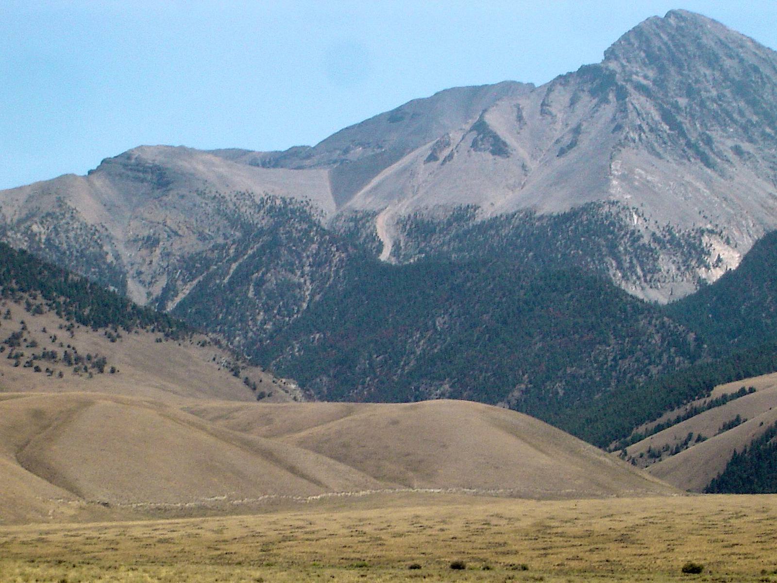
 Qfl247 / CC BY-SA 3.0 via Wikimedia Commons
The Story
At 8:06 on the morning of October 28, 1983, the Lost River Fault broke beneath Borah Peak, Idaho's highest mountain. For half a minute or more the Thousand Springs Valley dropped and the Lost River Range rose, and a fresh scarp tore open along the foot of the range for more than twenty miles. Seismologists measure it at magnitude 6.9; the older surface-wave scale reported at the time gave 7.3. It remains the largest and most damaging earthquake in Idaho's history.
It is one of the rare earthquakes whose surface rupture people watched happen. A hunter on the hillside saw the break cut across the slope in front of him. Another party of hunters were sitting in a vehicle when the ground broke about sixty feet ahead of them and the block they were on dropped three feet in about a second, throwing them out of their seats. Water fountained from the valley floor, springs changed their flow, and boulders came down in Challis.
In Challis, two schoolchildren, six and seven years old, were killed when a stone storefront collapsed on them. In Mackay, closer to the fault, most of the downtown was damaged and eight buildings were condemned, and both towns' high schools had to be torn down and rebuilt.
The scarp is still there. Doublespring Pass Road crosses it north of Mackay, and a Forest Service interpretive site stands where you can walk up to the step the earthquake left in the ground, with Borah Peak rising behind it. Geologists have found older scarps along the same fault, and the signs say plainly that it will happen again.
Visitor Info
On the Map
Nearby
The closest stops worth working into your route
Historical markers nearby
Roadside plaques and monuments within a short detour