Home / California / Los Angeles Harbor & the South Bay / Point Vicente
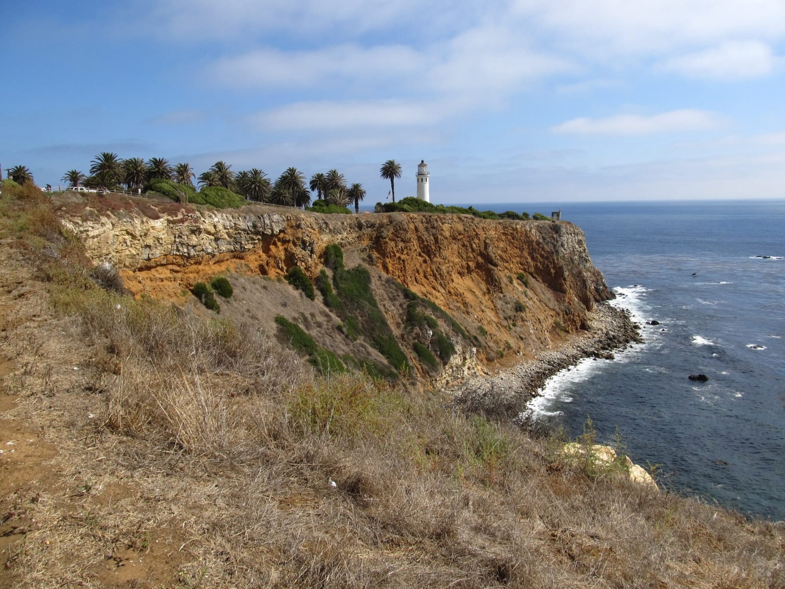
The Point Vicente headland dropping to the Pacific, the lighthouse small on the bluff above deep water close to shore.Ken Lund / CC BY-SA 2.0 via Wikimedia Commons
🌲Natural

Point Vicente

Part ofLos Angeles Harbor & the South Bay

Volunteers have counted the gray whale migration from this bluff for four decades, over water where shore whalers nearly finished the same herds.

⏱
Duration
An hour on the bluff and in the center; longer if the whales are moving.
🎟
Admission
Free, including parking.
πŸ“…
Best Season
December through May for the gray whale migration; the bluff is open year round.

The Story

From December 1 to late May, seven days a week, volunteers stand on the patio here with binoculars and count gray whales. The bluff is a hundred and twenty-five feet above the water and the bottom drops away close to shore, which brings the migration within sight of land. The Los Angeles chapter of the American Cetacean Society has run its Gray Whale Census and Behavior Project from this spot since the mid-1980s, after a pilot count in 1979, making it one of the longest continuous shore-based whale counts anywhere.

They record more than numbers. Breaching, spyhopping, courtship, nursing, feeding, interactions with kelp and with sea lions, and human impacts too: boat harassment, entanglement. Four decades of it, from one place, by one method. Humpbacks, blues, fins, orcas, several kinds of dolphin, elephant seals and sea otters go into the same log.

There is a reason these whales are worth counting. Two miles up the coast at Portuguese Bend, shore whalers worked the same herds from open boats through the 1860s and 1870s, and the work ended when there were no longer enough whales passing to make it pay.

The interpretive center behind the patio is free, and it holds the Point Vicente Lighthouse's Fresnel lens, retired after more than ninety years of use.

Visitor Info

⏱
Time Needed
An hour on the bluff and in the center; longer if the whales are moving.
🎟
Admission
Free, including parking.
πŸ“…
Best Season
December through May for the gray whale migration; the bluff is open year round.
πŸ›£οΈ
Highway
Palos Verdes Dr. W.

On the Map

Nearby

The closest stops worth working into your route

cultural7.2 mi away
Korean Friendship Bell
Seventeen tons of bronze given by Korea for the American bicentennial, on the bluff above the harbor its troops shipped out from.
historical7.3 mi away
Point Fermin Lighthouse
The first light into San Pedro Bay, lit in 1874 by two sisters, dark since Pearl Harbor, on a bluff that is still sliding.
industrial7.6 mi away
The Port of Los Angeles
The busiest container port in the country, sitting on ground that was dredged into existence: marsh, then landfill, then Pier 400.
historical8.3 mi away
Terminal Island and Furusato
Three thousand Japanese Americans built a village here they called Furusato, and in February 1942 were given forty-eight hours to leave it.
historical9.3 mi away
Drum Barracks
The Union Army built its Southern California headquarters in a county that had voted against Lincoln two to one, and stabled the Army camels here.
historical9.3 mi away
The Banning Museum
The man who made a harbor out of an open bay: freight, dredging, the first railroad in Southern California, and a cupola for watching ships.

Historical markers nearby

Roadside plaques and monuments within a short detour

Marker3.3 mi away
Site of Old Whaling Station
Rancho Palos Verdes
Marker5.1 mi away
Site of Adobe Home of JosΓ© Dolores Sepulveda
Torrance
Marker6.9 mi away
Site of Home of Diego SepΓΊlveda
San Pedro
Marker7.5 mi away
Casa de San Pedro
San Pedro
Marker7.5 mi away
Old Salt Lake
Redondo Beach
Marker7.5 mi away
Liberty Hill Site
San Pedro