 Levieuxchiendetalus / CC BY-SA 3.0 via Wikimedia Commons
The Story
Mesa Falls is the waterfall that got away. Early in the century a log inn went up on the west bank above Upper Mesa Falls, and by most accounts the power company behind it meant to add a dam and a power plant. They never came. The inn went to tourists instead, a stage stop and lodge on the old road to Yellowstone, and the Henrys Fork kept falling the whole of its height.
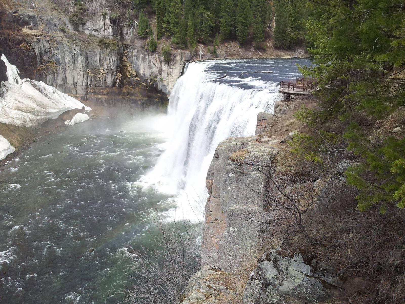
Compare it with Shoshone Falls, downstream on the Snake, where Milner Dam and a power plant decide what reaches the rim. Upper Mesa Falls drops 114 feet over a crest about 300 feet wide, and Lower Mesa Falls, a mile downstream, squeezes through a gorge and drops 65. Together they are counted as the last major undammed falls in the broader Columbia River system, which is saying something in a basin built for hydropower.
The ledge is volcanic. The river has cut down through the Mesa Falls Tuff, ash from an eruption of the Yellowstone hotspot about 1.3 million years ago that welded into rock hard enough to hold a lip while the softer layers beneath it wear back.
The Forest Service bought the inn in 1986 and later restored it as a visitor center, and it is on the National Register now. A boardwalk runs from the inn to overlooks at the brink of the upper falls, and the Grandview overlook looks down on the lower. Both sit on the Mesa Falls Scenic Byway, SR-47, a loop off US-20 between Ashton and Harriman State Park.
Visitor Info
On the Map
Nearby
The closest stops worth working into your route
Historical markers nearby
Roadside plaques and monuments within a short detour