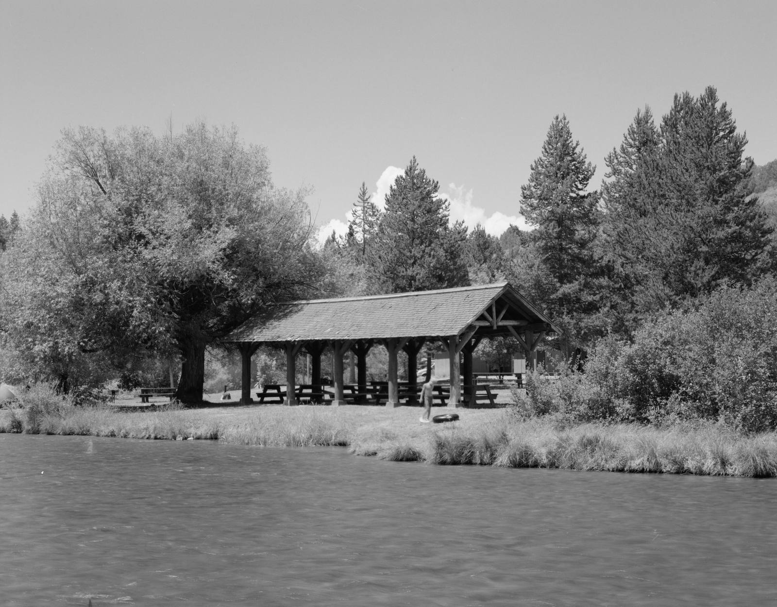
 Historic American Buildings Survey / public domain via Wikimedia Commons
The Story
The Yellowstone Branch was built for passengers. Union Pacific wanted its own way to the geyser basins and the Old Faithful Inn, and in 1908 its Oregon Short Line finished a railroad from Ashton up the Warm River canyon, across Island Park and over Reas Pass to West Yellowstone. Freight came second. Every summer the Yellowstone Special and the Yellowstone Express carried tourists to the park's west gate.
The climb beyond the canyon was too much for one locomotive, and that is why Warm River was a place at all. The siding here held a 60-foot steel turntable, set in a concrete pit in 1908, to turn around the extra engines added to push trains up toward the pass, with a pump house and a 50,000-gallon water tank beside the track. A post office followed in 1909, and farm families from the canyon rims drove park coaches in summer until their crops were ready.
Most of the men who built the grade left no record here. Three did, in the worst way. In May 1906 the state game warden caught six Japanese railroad laborers dynamiting fish where the Warm River meets the Henrys Fork; all six jumped in to swim for the far bank, and three drowned. The county historical society gives their names as H. Ishii, S. Makita and S. Matsu. Two lie in the Pineview Cemetery east of Ashton.
Winter closed the branch, and Ashton found a use for that. On March 4, 1917, the first American Dog Derby ran fifty-five miles down the unplowed track from West Yellowstone, the teams sat out a blizzard overnight at a fish hatchery, and Tud Kent came in first. Union Pacific, which employed two of the race's four founders, promoted it for decades.
The rails came up in 1978. The campground sits where the railroad bridge crossed the spring-fed river that gave the place its name, and the old grade leaves from it as a trail, north along the water toward Reas Pass.
Visitor Info
On the Map
Nearby
The closest stops worth working into your route
Historical markers nearby
Roadside plaques and monuments within a short detour