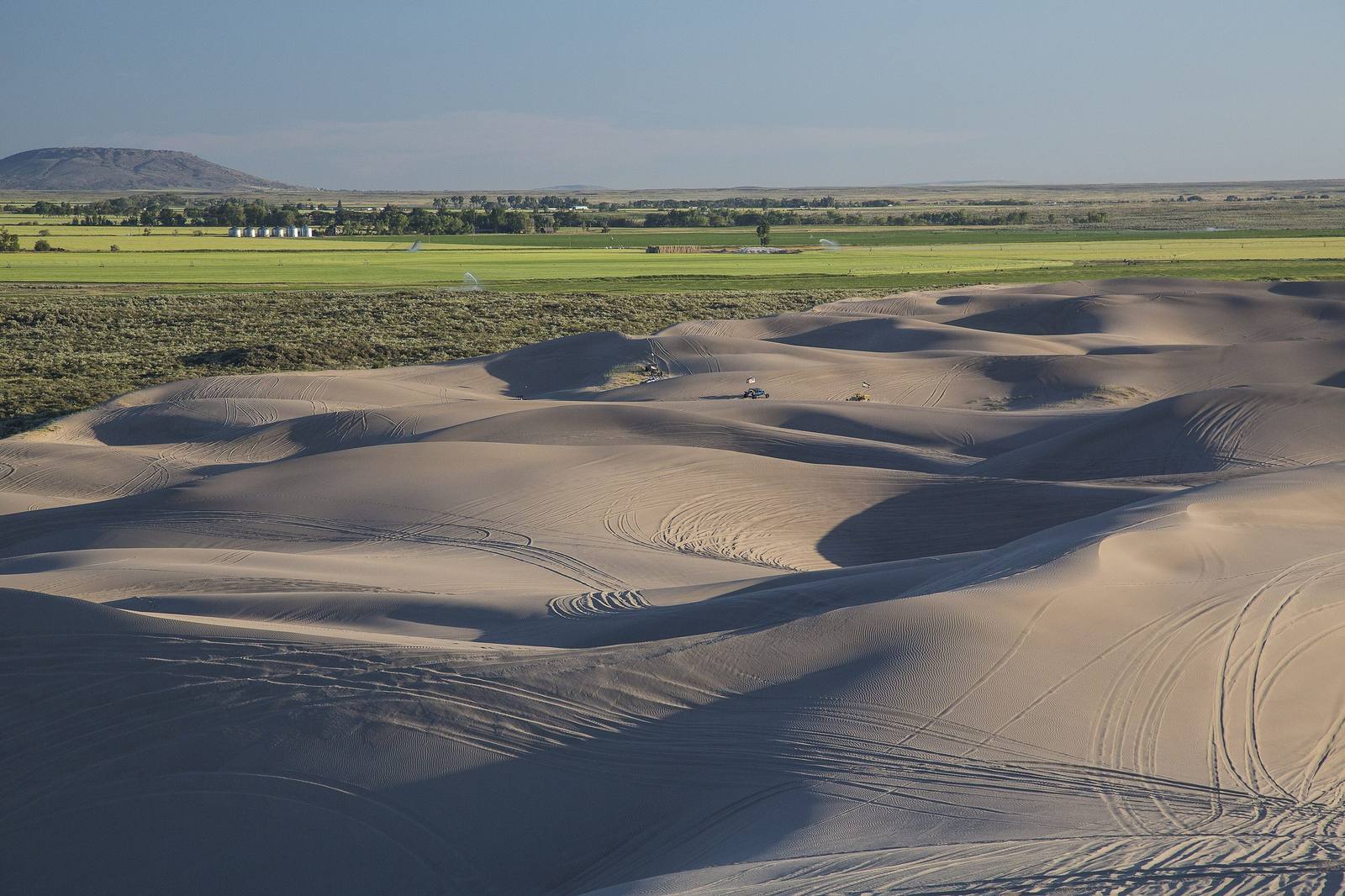
 Bob Wick, BLM / public domain via Wikimedia Commons
The Story
The St. Anthony Sand Dunes keep a calendar, and the elk set it. On January 1 the big dunes close to riders and the country around them closes to everyone. The dunes west of Egin Lakes reopen at sunrise on April 1; the ground surrounding the open sand waits until sunrise on May 1. What the closure protects is winter range. Elk, mule deer and moose come down to winter around the dunes, among them one of the larger wintering elk herds in the country, and they need that ground left quiet until spring.
The closure began as a trade. County commissioners wanted the Egin-Hamer Road reopened for winter travel, and they went to the Bureau of Land Management with an offer: close the land around it to people in return. Nearly five hundred square miles now shut every winter under that arrangement, with Idaho Fish and Game and the state land department managing their own parcels inside it. The northern part is signed in fluorescent orange; the southern part, which opens a month sooner, in lime green. Landowners going to their own land are exempt.
The rest of the year the dunes belong mostly to machines. About 10,600 acres of white quartz sand lie eight miles west of St. Anthony, with dunes up to 400 feet high, and riders come from across the West to climb them. Much of the area is also a wilderness study area, and the BLM asks riders to stay on open sand and off the plants that hold its edges. The smaller dunes east of the campground stay open all year, though snow usually covers them by January.
Egin Lakes Campground is the base, with 48 sites, some of them reservable, and a fee. Walkers and horseback riders are welcome on the sand too.
Visitor Info
On the Map
Nearby
The closest stops worth working into your route
Historical markers nearby
Roadside plaques and monuments within a short detour